2000s (21st Century) Maps of Montville Township, Ohio
Explore 15 historic maps of Montville Township from the 2000s (21st Century). These maps offer a rare glimpse into what life looked like during the 2000s — showing old roads, neighborhoods, homes, and landmarks that have changed or disappeared over time.
Whether you're researching your family's past, planning a metal detecting trip, or studying how Montville Township's landscape evolved across the 2000s, these high-resolution maps are a powerful tool for exploring the history of this region.
- Focus on a specific era: All maps on this page are from the 2000s, giving you a focused view of this time period.
- See what’s changed: Compare century-old streets, trails, and buildings to today's modern landscape using overlays and satellite layers.
- Research with precision: Use these maps for genealogy, historical research, land use analysis, or educational projects.
- View, download, or print: Maps are fully viewable online in high resolution, and can be downloaded or printed for your own records.
Start exploring Montville Township's history through authentic maps from the 2000s. This is your window into the past.
Montville Township, OH maps
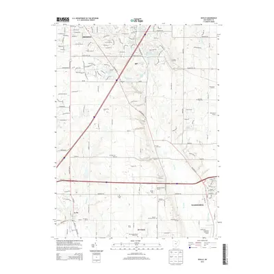
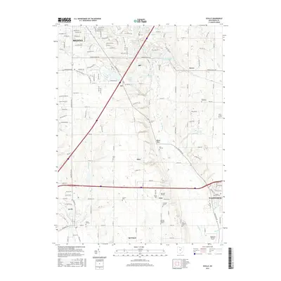
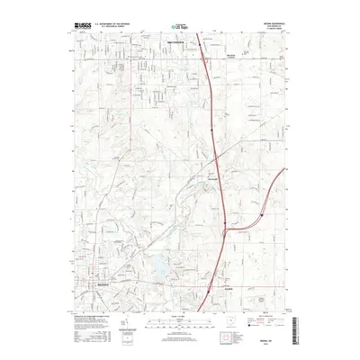
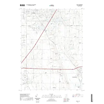
(15)- 2010 Map of Seville, 2010 Print
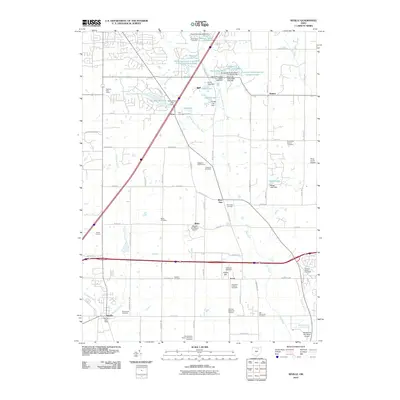 2010 Seville2010 Print · USGSCovers Montville Township, including Medina, Wadsworth, and other nearby areas
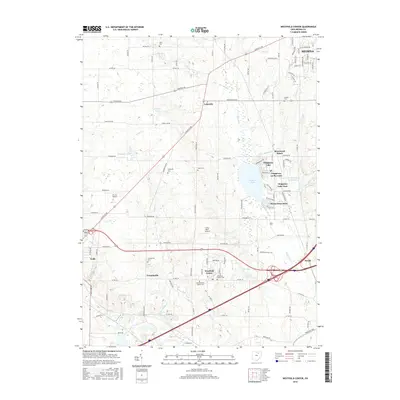
 - 2010 Map of Westfield Center, 2010 Print
 2010 Westfield Center2010 Print · USGSCovers Montville Township, including Medina, Lodi, and other nearby areas
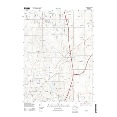
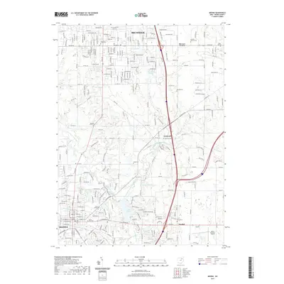
 - 2010 Map of Medina, 2010 Print
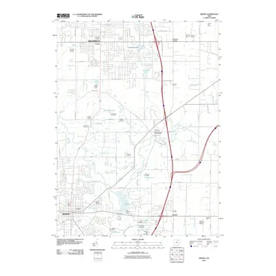 2010 Medina2010 Print · USGSCovers Montville Township, including Brunswick, Medina, and other nearby areas
 - 2013 Map of Westfield Center, 2013 Print
 2013 Westfield Center2013 Print · USGSCovers Montville Township, including Medina, Lodi, and other nearby areas
 - 2013 Map of Medina, 2013 Print
 2013 Medina2013 Print · USGSCovers Montville Township, including Brunswick, Medina, and other nearby areas
 - 2013 Map of Seville, 2013 Print
 2013 Seville2013 Print · USGSCovers Montville Township, including Medina, Wadsworth, and other nearby areas
 - 2016 Map of Westfield Center, 2016 Print
 2016 Westfield Center2016 Print · USGSCovers Montville Township, including Medina, Lodi, and other nearby areas
 - 2016 Map of Seville, 2016 Print
 2016 Seville2016 Print · USGSCovers Montville Township, including Medina, Wadsworth, and other nearby areas
 - 2016 Map of Medina, 2016 Print
 2016 Medina2016 Print · USGSCovers Montville Township, including Brunswick, Medina, and other nearby areas
 - 2019 Map of Westfield Center, 2019 Print
 2019 Westfield Center2019 Print · USGSCovers Montville Township, including Medina, Lodi, and other nearby areas
 - 2019 Map of Seville, 2019 Print
 2019 Seville2019 Print · USGSCovers Montville Township, including Medina, Wadsworth, and other nearby areas
 - 2019 Map of Medina, 2019 Print
 2019 Medina2019 Print · USGSCovers Montville Township, including Brunswick, Medina, and other nearby areas
 - 2023 Map of Westfield Center, 2023 Print
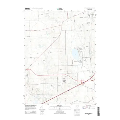
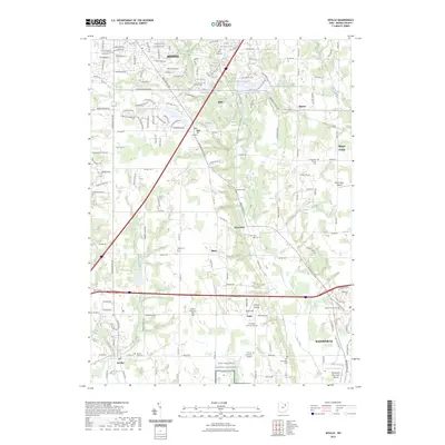
 2023 Westfield Center2023 Print · USGSSouthern Medina County at the start of the 2020s shows a landscape of lakeside communities and historic township centers. Genealogists can locate family sites at the Old Westfield Center Cem or trace the early settlement of Friendsville and Lodi.
 - 2023 Map of Medina, 2023 Print
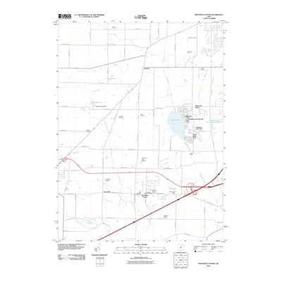
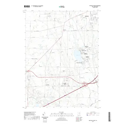
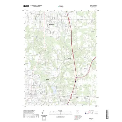 2023 Medina2023 Print · USGSMedina and Brunswick are shown here in the 2020s, highlighting the modern development surrounding the historic county seat. Family historians can locate several burial grounds including Old Medina Cem and Weymouth Cem along with the Medina County Courthouse.
 - 2023 Map of Seville, 2023 Print
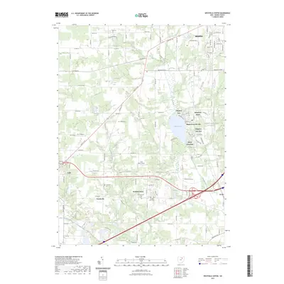
 2023 Seville2023 Print · USGSMedina County at the peak of the twenty-first century reveals a landscape of historic crossroads and modern growth between the cities of Medina and Wadsworth. Genealogists can trace family names across several sites, from the ancient Mound Hill Cem to the expansive Ohio Western Reserve National Cemetery.
End of results
Showing maps 1-15 of 15
Top cities near Montville Township
- Akron historical maps
- Strongsville historical maps
- Brunswick historical maps
- North Royalton historical maps
- Medina historical maps
- Barberton historical maps
See more
Top neighborhoods of Montville Township
Frequently asked questions
- What are the different types of historical maps available for Montville Township?
- What is the oldest map of Montville Township?
- Where can I purchase historical maps of Montville Township for my home or office?
- Where can I download high-res historical maps of Montville Township?
- Are there historical topographic maps available for Montville Township?
- Is there historical aerial imagery available for Montville Township?
- Where are historical maps of Montville Township sourced from?