Old Maps of Miami Township, Ohio for Academic Research
Study the evolution of Miami Township with 34 high-resolution historic maps. Whether you're teaching, researching, or modeling changes in land use, these maps provide essential visual documentation of urban, environmental, and geographic change.
- Analyze long-term change: Track patterns in development, transportation, and natural features.
- Ideal for environmental or urban studies: Support academic projects with primary historical map data.
- Use in the classroom or lab: Educators and researchers rely on these maps to bring historical context to life.
These maps are a powerful tool for teaching, research, and visualizing how Miami Township has changed over the decades.
Miami Township, OH maps
(34)- 1908 Map of Miamisburg, 1948 Print
 1908 Miamisburg1948 Print · USGSThe Miami Valley at the start of the twentieth century was a hub of electric traction lines and canal history. Genealogists and historians can trace the early layouts of Miamisburg and Franklin, or locate landmarks like Browns Chapel and the National Military Home.
 - 1913 Map of Waynesville
 1913 Waynesville1913 Print · USGSThe Miami and Erie Canal and a dense network of electric railways define this Ohio landscape in the decade before the Great War. Researchers can trace the early footprints of Waynesville, Centerville, and Springboro alongside rural landmarks like Washington Mills and Lantz School.
 - 1915 Map of Waynesville, 1942 Print
 1915 Waynesville1942 Print · USGSThe Dayton suburbs and Warren County countryside are captured here just before the Great War, during the heyday of electric interurban rail. Genealogists can locate specific local landmarks like Lantz School, Wittes Corners, and the historic community of Shakertown.
 - 1951 Map of Franklin, 1953 Print
 1951 Franklin1953 Print · USGSThe industrial corridor of the Great Miami River valley thrives in the early 1950s as a major rail hub for the New York Central and Baltimore and Ohio. Genealogists can trace family landmarks like Swartzel Cem and Stettler Ch or locate the ancient Indian Mound overlooking the river.
 - 1953 Map of Cincinnati, 1965 Print
 1953 Cincinnati1965 Print · USGSThe Ohio River valley and the industrial heartland of Indiana and Ohio are captured here during the mid-century peak of rail and river commerce. Genealogists and historians can trace connections between Cincinnati and outlying military sites like Camp Atterbury and Bakalar AFB.3 unique versions available
 - 1955 Map of Miamisburg, 1956 Print
 1955 Miamisburg1956 Print · USGSThe industrial corridor of the Great Miami River valley thrived in the mid-fifties as rail lines and new highways connected growing towns. Genealogists and historians can locate family plots at Trissel Cem, trace the grounds of the Veterans Administration Center, or find old schools like the Mark Twain Sch.2 unique versions available
 - 1955 Map of Dayton South, 1956 Print
 1955 Dayton South1956 Print · USGSSouth of Dayton in the mid-fifties, the landscape was quickly transitioning from farmland to suburban hubs like Kettering and Moraine. Researchers can trace old neighborhood boundaries and find local landmarks such as Alexandersville, University of Dayton, and the Gentile Depot.
 - 1955 Map of Springboro, 1956 Print
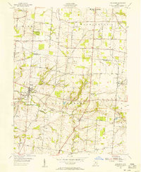 1955 Springboro1956 Print · USGSWarren and Montgomery Counties are captured here in the mid-1950s, showing a traditional farming landscape on the cusp of modern growth. Researchers can locate old family burial grounds like Rehoboth Cem and small rural hubs including Lytle, Ridgeville, and Pekin.
 - 1957 Map of Cincinnati
 1957 Cincinnati1957 Print · USGSThe Ohio River valley and its surrounding highlands thrived during the mid-fifties industrial peak, centered on the bustling Cincinnati and Dayton metropolitan hubs. Researchers can trace the extensive rail networks and military sites like Wright-Patterson AFB and Camp Atterbury.
 - 1965 Map of Franklin, 1967 Print
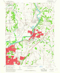 1965 Franklin1967 Print · USGSMiddletown and Franklin thrive along the river and rail corridors of the Miami Valley in the mid-1960s. Genealogists and researchers can trace local landmarks like Wood Hill Cemetery, Stettler Ch, and the sprawling Mound Laboratory (AEC) complex.5 unique versions available
 - 1965 Map of Miamisburg, 1967 Print
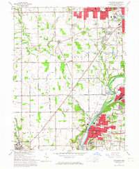 1965 Miamisburg1967 Print · USGSThe Great Miami River valley in the mid-sixties shows a landscape of industrial growth and rural tradition south of Dayton. Researchers can locate family roots at Highland Memorial Cemetery, trace the old rail lines, or find the Mound Laboratory near the Miamisburg Mound State Memorial.4 unique versions available
 - 1965 Map of Springboro, 1967 Print
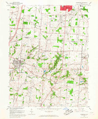 1965 Springboro1967 Print · USGSThe Montgomery and Warren County line comes alive in the mid-sixties as Centerville and Springboro begin to expand. Researchers can trace family history through sites like Rehoboth Cem, Bethel Ch, and the crossroads at Five Points.4 unique versions available
 - 1966 Map of Dayton South, 1968 Print
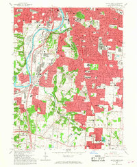 1966 Dayton South1968 Print · USGSThe southern suburbs of Montgomery County were rapidly expanding in the mid-sixties as Dayton reached into the surrounding hills. Researchers can trace institutional history and family locations at the Dayton State Hospital, Calvary Cemetery, and the Gentile AF Depot.5 unique versions available
 - 1986 Map of Dayton
 1986 Dayton1986 Print · USGSThe Miami Valley and the Indiana-Ohio borderlands reached a peak of suburban and industrial connectivity in the mid-eighties. Genealogists and historians can trace family burial sites at Miami Memorial Garden (Cem) and the development surrounding Wright-Patterson Air Force Base.2 unique versions available
 - 2010 Map of Springboro, 2010 Print
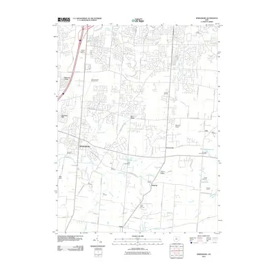 2010 Springboro2010 Print · USGSThe Springboro area in the early twenty-first century reveals a blend of modern suburban growth and historic rural sites. Genealogists can trace family landmarks like Null Cemetery, Salem Cemetery, and the Hidden Valley Fruit Farm.
 - 2010 Map of Miamisburg, 2010 Print
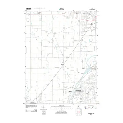 2010 Miamisburg2010 Print · USGSThe Great Miami River valley in Montgomery County is shown here during a period of modern growth and historic preservation. Researchers can locate dozens of family and institutional burial grounds like Old Lutheran Cemetery or trace landmarks such as the Miamisburg Mound and Germantown Covered Bridge.
 - 2010 Map of Dayton South, 2010 Print
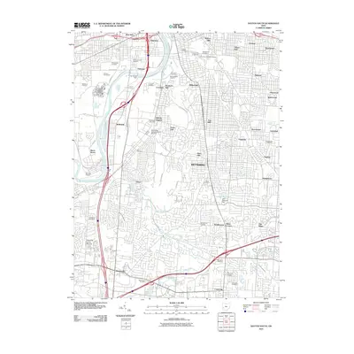 2010 Dayton South2010 Print · USGSDayton and Kettering are shown in detail during the early 21st century as they developed into the suburban landscape of the Miami Valley. Genealogists can locate numerous burial grounds like Woodland Cemetery and landmarks such as the Shawnee Indian Mound.
 - 2010 Map of Franklin, 2010 Print
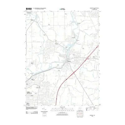 2010 Franklin2010 Print · USGSThe Great Miami River corridor comes alive in this 2010 survey of the borderlands between Butler and Montgomery counties. Genealogists and local historians can trace legacy sites like Tapscott Cemetery, Wood Hill Cemetery, and Camp Hook.
 - 2013 Map of Dayton South, 2013 Print
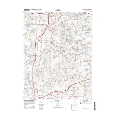 2013 Dayton South2013 Print · USGSThe southern suburbs of Dayton come to life in this survey, showing a landscape defined by the Great Miami River and major rail lines. Researchers can trace family history through numerous burial grounds like Woodland Cemetery or locate landmarks such as the Shawnee Indian Mound and Moraine Air Park.
 - 2013 Map of Miamisburg, 2013 Print
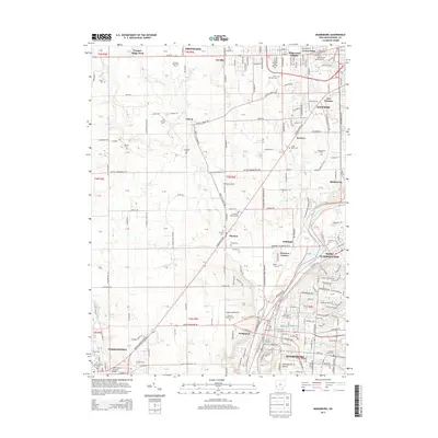 2013 Miamisburg2013 Print · USGSThe Great Miami River valley south of Dayton comes into sharp focus during this period of suburban and industrial growth. Genealogists and historians can locate numerous burial grounds and landmarks like Dayton National Cem, the Miamisburg Mound, and the Germantown Covered Bridge.
 - 2013 Map of Franklin, 2013 Print
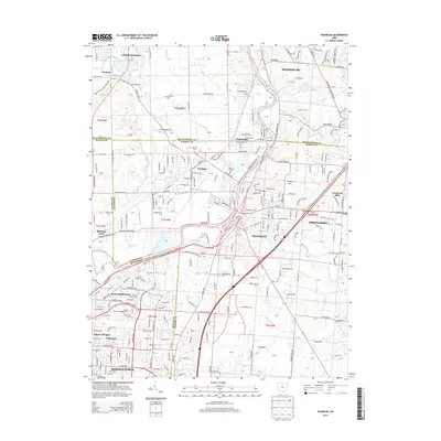 2013 Franklin2013 Print · USGSThe Great Miami River corridor was a bustling industrial and residential landscape in the early 2010s. Researchers can trace several family-named burial grounds like Swartzel Cem and Tapscott Cem or locate the Hummel Airport.
 - 2013 Map of Springboro, 2013 Print
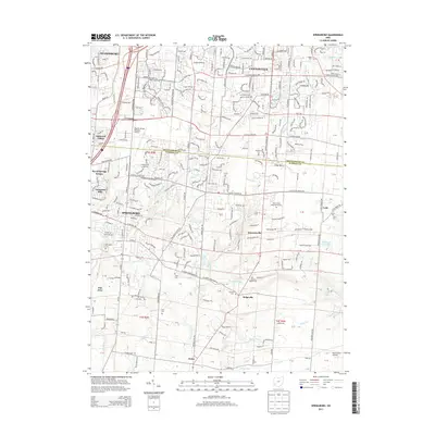 2013 Springboro2013 Print · USGSThe Montgomery and Warren county line is captured here in the early twenty-first century as suburban growth surrounds historic rural settlements. Researchers can trace family history through a high density of burial sites like Old Sch Baptist Cem and Eyer Cem, or locate landmarks like Dayton-Wright Brothers Airport.
 - 2016 Map of Miamisburg, 2016 Print
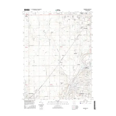 2016 Miamisburg2016 Print · USGSSouthwest of Dayton in the mid-2010s, the Great Miami River valley serves as a bustling corridor between growing industrial suburbs. Researchers can trace historic landmarks like the Miamisburg Mound and Germantown Covered Bridge or locate family plots in Trissel Cem and Lower Miami Cem.
 - 2016 Map of Springboro, 2016 Print
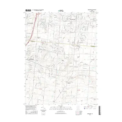 2016 Springboro2016 Print · USGSThe borderlands of Montgomery and Warren Counties appear in the mid-2010s as a mix of suburban growth and enduring rural landmarks. Genealogists can trace family roots through numerous local burial sites like Sears Cem, Rehoboth Cem, and Old School Baptist Cem.
 - 2016 Map of Franklin, 2016 Print
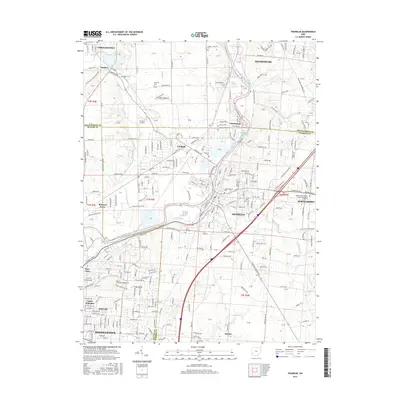 2016 Franklin2016 Print · USGSThe Great Miami River valley near the Butler and Montgomery county line is captured here during its modern suburban expansion. Researchers can trace historic family burial sites at Stettler Cem and Swartzel Cem or locate campuses like Miami-Middletown.
Showing maps 1-25 of 34
Top cities near Miami Township
- Dayton historical maps
- Kettering historical maps
- Middletown historical maps
- Beavercreek historical maps
- Huber Heights historical maps
- Fairborn historical maps
See more
Top neighborhoods of Miami Township
Frequently asked questions
- What are the different types of historical maps available for Miami Township?
- What is the oldest map of Miami Township?
- Where can I purchase historical maps of Miami Township for my home or office?
- Where can I download high-res historical maps of Miami Township?
- Are there historical topographic maps available for Miami Township?
- Is there historical aerial imagery available for Miami Township?
- Where are historical maps of Miami Township sourced from?