2020s Maps of Franklin Township, Ohio
Explore 3 historic maps of Franklin Township from the 2020s. These maps offer a rare glimpse into what life looked like during the 2020s — showing old roads, neighborhoods, homes, and landmarks that have changed or disappeared over time.
Whether you're researching your family's past, planning a metal detecting trip, or studying how Franklin Township's landscape evolved across the 2020s, these high-resolution maps are a powerful tool for exploring the history of this region.
- Focus on a specific era: All maps on this page are from the 2020s, giving you a focused view of this time period.
- See what’s changed: Compare century-old streets, trails, and buildings to today's modern landscape using overlays and satellite layers.
- Research with precision: Use these maps for genealogy, historical research, land use analysis, or educational projects.
- View, download, or print: Maps are fully viewable online in high resolution, and can be downloaded or printed for your own records.
Start exploring Franklin Township's history through authentic maps from the 2020s. This is your window into the past.
Franklin Township, OH maps
(3)- 2023 Map of Mount Gilead, 2023 Print
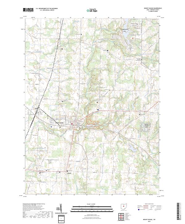 2023 Mount Gilead2023 Print · USGSMorrow County at the start of the 2020s shows a landscape of established lakeside communities and deep-rooted family history. Genealogists can trace lineage through numerous rural burial grounds like Bingham Cem and Bryn Zion Cem, while researchers can locate the Morrow County Courthouse and Morrow County Airport.
 - 2023 Map of Shauck, 2023 Print
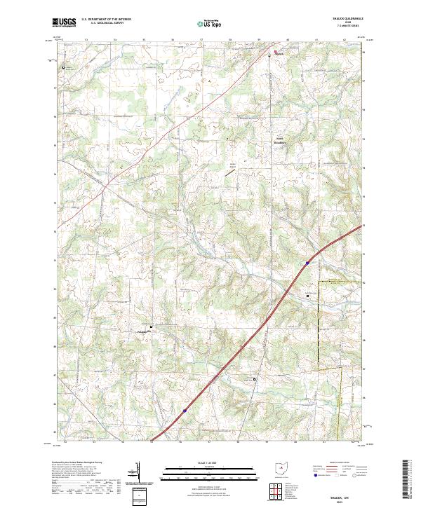 2023 Shauck2023 Print · USGSMorrow County in the 2020s remains a landscape of traditional farming settlements and branching river systems. Researchers can trace family history at Yankee Street Cem and Pulaskiville Cem or locate rural landmarks like Lanker Airport and North Woodbury.
 - 2023 Map of Chesterville, 2023 Print
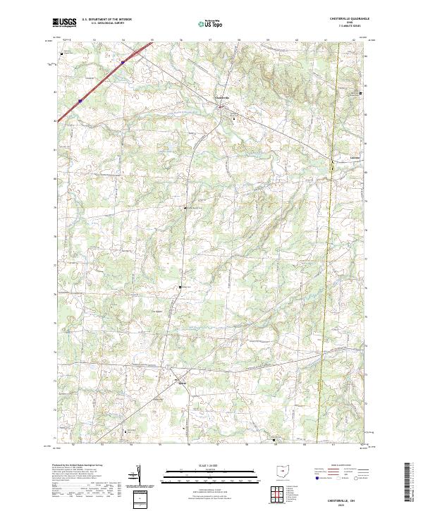 2023 Chesterville2023 Print · USGSIn the rural heart of Morrow County, this map captures the agricultural landscape and small villages of central Ohio. Genealogists can trace family roots at Maple Grove Cem, Bethel Cem, and the community of Sparta along the Mile Run.
End of results
Showing maps 1-3 of 3
Top cities near Franklin Township
- Mansfield historical maps
- Mount Vernon historical maps
- Galion historical maps
- Ontario historical maps
- Lexington historical maps
- Mount Gilead historical maps
See more
Top neighborhoods of Franklin Township
Frequently asked questions
- What are the different types of historical maps available for Franklin Township?
- What is the oldest map of Franklin Township?
- Where can I purchase historical maps of Franklin Township for my home or office?
- Where can I download high-res historical maps of Franklin Township?
- Are there historical topographic maps available for Franklin Township?
- Is there historical aerial imagery available for Franklin Township?
- Where are historical maps of Franklin Township sourced from?