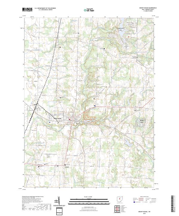
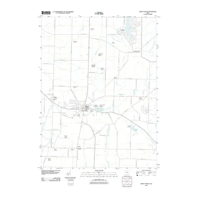
2023 Map of Mount Gilead
USGS Topo · Published 2023About this map
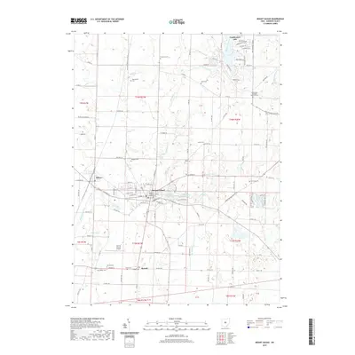
The Morrow County Courthouse serves as the focal point of Mount Gilead, the seat of Morrow County, in a landscape defined by the upper reaches of the Olentangy River basin. The village is surrounded by several distinctive water bodies, including Mount Gilead Lakes and Upper Lake just to the east, while larger residential lake communities like Candlewood Lake and Hidden Lakes occupy the periphery. This survey reveals a dense concentration of rural burial grounds that speak to the area’s pioneer genealogy, such as Armstrong Cem, Montgomery Cem, and the Mount Tabor Methodist Episcopal Cem. The local geography is etched by the courses of Whetstone Creek and Shaw Creek, which meander through a grid of county roads and township lines. Transport and infrastructure are represented by the Morrow County Airport to the south and the small village of Edison to the west.
Find a feature on this map
155 named features on this map. Tap any name to fly to it.
Don’t see what you’re looking for? This feature index may not catch every label — zoom into the map to look around manually.
Map Details
Editions of this 2023 Mount Gilead Map
This is the sole edition of this map. No revisions or reprints were ever made.
Historical Maps of Mount Gilead Through Time
9 maps found
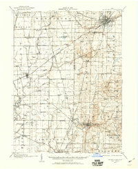
1913 Mount Gilead
Morrow County, OH
1916 Mount Gilead
Morrow County, OH
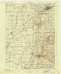
1943 Mount Gilead
Morrow County, OH
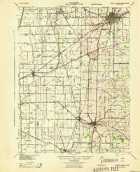
1961 Mount Gilead
Morrow County, OH
2010 Mount Gilead
Morrow County, OH
2013 Mount Gilead
Morrow County, OH
2016 Mount Gilead
Morrow County, OH
2019 Mount Gilead
Morrow County, OH
2023 Mount Gilead
Morrow County, OH
Featured Locations
- Harmony Township, OH
- Washington Township, OH
- Franklin Township, OH
- Edison, Gilead Township
- Mount Gilead, Gilead Township