2000s (21st Century) Maps of Dresden, Ohio
Explore 15 historic maps of Dresden from the 2000s (21st Century). These maps offer a rare glimpse into what life looked like during the 2000s — showing old roads, neighborhoods, homes, and landmarks that have changed or disappeared over time.
Whether you're researching your family's past, planning a metal detecting trip, or studying how Dresden's landscape evolved across the 2000s, these high-resolution maps are a powerful tool for exploring the history of this region.
- Focus on a specific era: All maps on this page are from the 2000s, giving you a focused view of this time period.
- See what’s changed: Compare century-old streets, trails, and buildings to today's modern landscape using overlays and satellite layers.
- Research with precision: Use these maps for genealogy, historical research, land use analysis, or educational projects.
- View, download, or print: Maps are fully viewable online in high resolution, and can be downloaded or printed for your own records.
Start exploring Dresden's history through authentic maps from the 2000s. This is your window into the past.
Dresden, OH maps
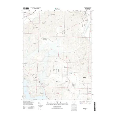
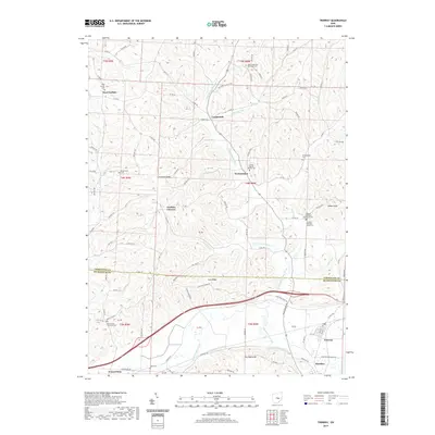
(15)- 2010 Map of Trinway, 2010 Print
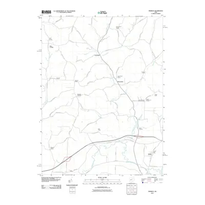 2010 Trinway2010 Print · USGSCovers Dresden, including Frazeysburg, Virginia Township, and other nearby areas
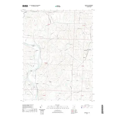
 - 2010 Map of Adamsville, 2010 Print
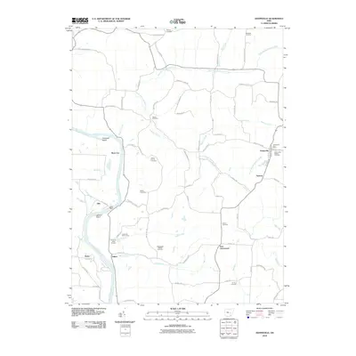 2010 Adamsville2010 Print · USGSCovers Dresden, including Adamsville, Drake, and other nearby areas
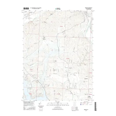
 - 2010 Map of Dresden, 2010 Print
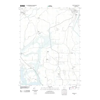 2010 Dresden2010 Print · USGSCovers Dresden, including Zanesville, Frazeysburg, and other nearby areas
 - 2013 Map of Trinway, 2013 Print
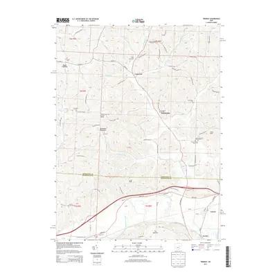 2013 Trinway2013 Print · USGSCovers Dresden, including Frazeysburg, Virginia Township, and other nearby areas
 - 2013 Map of Dresden, 2013 Print
 2013 Dresden2013 Print · USGSCovers Dresden, including Zanesville, Frazeysburg, and other nearby areas
 - 2013 Map of Adamsville, 2013 Print
 2013 Adamsville2013 Print · USGSCovers Dresden, including Adamsville, Drake, and other nearby areas
 - 2016 Map of Trinway, 2016 Print
 2016 Trinway2016 Print · USGSCovers Dresden, including Frazeysburg, Virginia Township, and other nearby areas
 - 2016 Map of Adamsville, 2016 Print
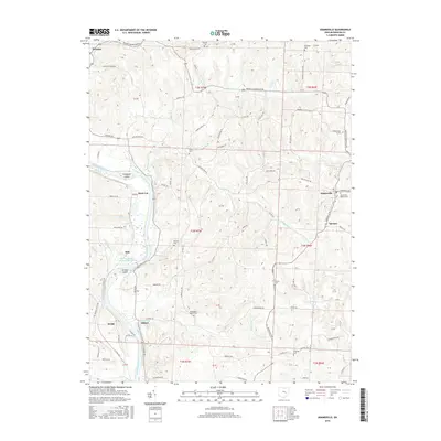 2016 Adamsville2016 Print · USGSCovers Dresden, including Adamsville, Drake, and other nearby areas
 - 2016 Map of Dresden, 2016 Print
 2016 Dresden2016 Print · USGSCovers Dresden, including Zanesville, Frazeysburg, and other nearby areas
 - 2019 Map of Adamsville, 2019 Print
 2019 Adamsville2019 Print · USGSCovers Dresden, including Adamsville, Drake, and other nearby areas
 - 2019 Map of Trinway, 2019 Print
 2019 Trinway2019 Print · USGSCovers Dresden, including Frazeysburg, Virginia Township, and other nearby areas
 - 2019 Map of Dresden, 2019 Print
 2019 Dresden2019 Print · USGSCovers Dresden, including Zanesville, Frazeysburg, and other nearby areas
 - 2023 Map of Adamsville, 2023 Print
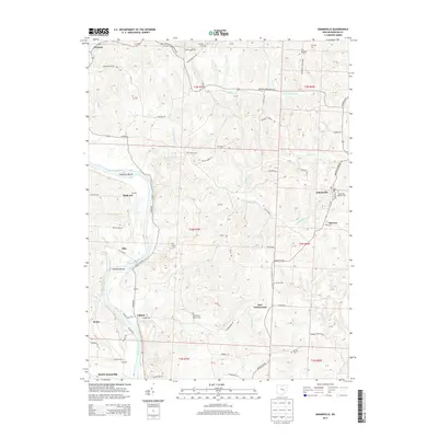
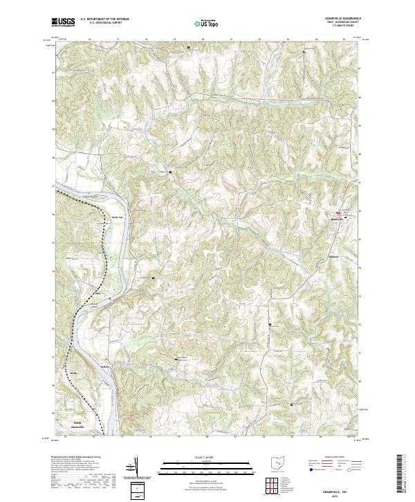 2023 Adamsville2023 Print · USGSMuskingum County's rural heartland is documented here in the early twenty-first century, showing the intricate ridges above the Muskingum River. Genealogists can locate family burial sites like Stoner Cem and Vernon Cem or trace the early paths of Mollies Rock Rd.
 - 2023 Map of Dresden, 2023 Print
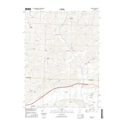
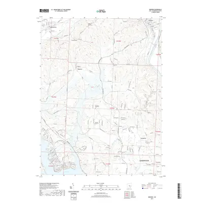
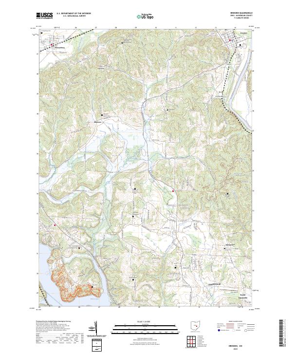 2023 Dresden2023 Print · USGSMuskingum County at the start of the 2020s shows the enduring landscape of Dresden and Frazeysburg along the river and creek valleys. Genealogists can trace family heritage through isolated sites like Mattingly Settlement Cem and Black Log Cem.
 - 2023 Map of Trinway, 2023 Print
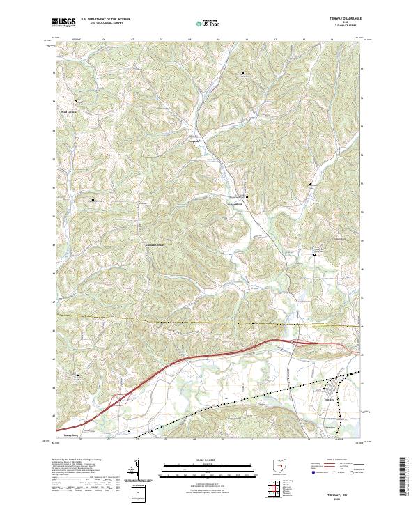 2023 Trinway2023 Print · USGSThe Muskingum and Coshocton county line comes alive in this survey of the river valleys and ridges near Trinway and Dresden. Genealogists can trace family footprints at Broomstick Cem, Chalfant Meeting House Cem, and West Carlisle Cem.
End of results
Showing maps 1-15 of 15
Top cities near Dresden
- Zanesville historical maps
- Coshocton historical maps
- Hopewell historical maps
- South Zanesville historical maps
- Keene historical maps
- Franklin historical maps
See more
Frequently asked questions
- What are the different types of historical maps available for Dresden?
- What is the oldest map of Dresden?
- Where can I purchase historical maps of Dresden for my home or office?
- Where can I download high-res historical maps of Dresden?
- Are there historical topographic maps available for Dresden?
- Is there historical aerial imagery available for Dresden?
- Where are historical maps of Dresden sourced from?