Old Maps of High Hill, Ohio for Metal Detecting
Plan your next treasure hunt with 13 historic maps of High Hill. Find old homesites, ghost towns, trails, and gathering spots that may be lost to time — perfect for identifying promising metal detecting locations.
- Locate forgotten sites: Uncover places like long-lost settlements, abandoned rail lines, or gathering spots.
- Plan better hunts: Use map overlays combined with LiDAR or satellite views to narrow in on historically rich areas.
- Made for detectorists: Thousands of hobbyists use these maps to discover relics, coins, and hidden history.
Use these historic maps to boost your research and find new opportunities beneath the surface of High Hill.
High Hill, OH maps
(13)- 1910 Map of Philo, 1938 Print
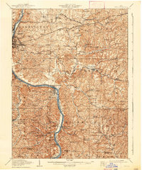 1910 Philo1938 Print · USGSThe Muskingum River valley was a bustling corridor of rail and river commerce at the turn of the century. Genealogists can locate dozens of country schoolhouses like Toadtown School and Sleepy Hollow School, or trace family roots near Taylorsville and the National Road.2 unique versions available
 - 1949 Map of Clarksburg
 1949 Clarksburg1949 Print · USGSThe upper Ohio River valley and the industrial heart of West Virginia come into focus during this post-war period. Genealogists and researchers can trace the rail corridors of the Baltimore and Ohio and locate centers like Fairmont, Grafton, and Waynesburg.
 - 1956 Map of Clarksburg, 1966 Print
 1956 Clarksburg1966 Print · USGSThe Ohio River valley and the industrial heart of West Virginia are seen here in the mid-1950s as rail and river commerce thrived. Researchers can trace historic transport lines like the Baltimore and Ohio RR and locate ancestral homes in Clarksburg, Moundsville, or Parkersburg.2 unique versions available
 - 1961 Map of Clarksburg
 1961 Clarksburg1961 Print · USGSThe mid-century industrial and river landscapes of West Virginia and Ohio are detailed here, centered on the Ohio River. Researchers can trace the Baltimore and Ohio rail lines connecting towns like Parkersburg, Clarksburg, and Monongah.
 - 1961 Map of Ruraldale, 1963 Print
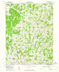 1961 Ruraldale1963 Print · USGSMuskingum and Morgan counties are shown in the early sixties, a time when small rural settlements like Ruraldale and Museville were deeply tied to the land. Genealogists and historians can trace family locations through numerous landmarks, including Bethlehem Cem, Sugar Grove Chapel, and the Blue Rock Lookout Tower.4 unique versions available
 - 1980 Map of Senecaville, 1983 Print
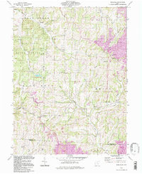
 1980 Senecaville1983 Print · USGSEastern Ohio at the start of the eighties reveals a complex landscape of coal extraction and river commerce. Genealogists and historians can trace rail lines like the Conrail and Baltimore and Ohio RR connecting towns like Byesville and Woodsfield.2 unique versions available
 - 1988 Map of Clarksburg, 1989 Print
 1988 Clarksburg1989 Print · USGSThe central Appalachians are documented in detail during the late eighties, showing the industrial and river-based economies of West Virginia, Ohio, and Pennsylvania. Researchers can trace historic rail routes like the B & O RR and locate river towns from St Marys to Parkersburg.
 - 1994 Map of Ruraldale, 1998 Print
 1994 Ruraldale1998 Print · USGSSoutheast Ohio's ridge-and-hollow country is captured here in the 1990s, where public forest lands meet an evolving industrial landscape. Researchers can locate remote family sites like Bethlehem Cem, the community of Museville, and the Blue Rock Lookout Tower.
 - 2010 Map of Ruraldale, 2010 Print
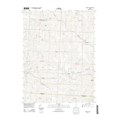
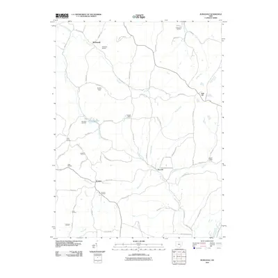 2010 Ruraldale2010 Print · USGSCovers High Hill, including Museville, McDonald, and other nearby areas
 - 2013 Map of Ruraldale, 2013 Print
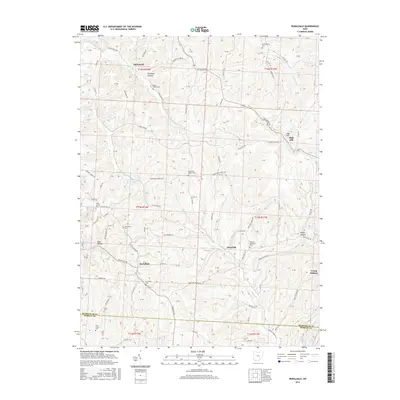
 2013 Ruraldale2013 Print · USGSCovers High Hill, including Museville, McDonald, and other nearby areas
 - 2016 Map of Ruraldale, 2016 Print
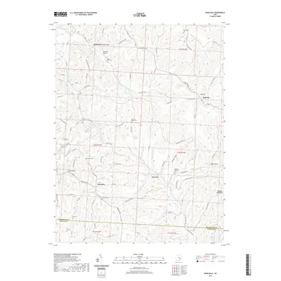
 2016 Ruraldale2016 Print · USGSCovers High Hill, including Museville, McDonald, and other nearby areas
 - 2019 Map of Ruraldale, 2019 Print
 2019 Ruraldale2019 Print · USGSCovers High Hill, including Museville, McDonald, and other nearby areas
 - 2023 Map of Ruraldale, 2023 Print
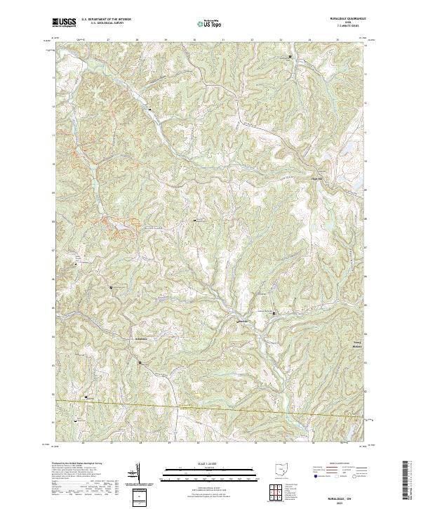 2023 Ruraldale2023 Print · USGSSoutheastern Muskingum County remains a landscape of ridge-top roads and creek-bottom settlements in this modern survey. Genealogists can trace family names through the many country burial grounds, including Bethlehem Cem, Allens Cem, and Ruraldale Cem.
End of results
Showing maps 1-13 of 13
Top cities near High Hill
- Zanesville historical maps
- Cambridge historical maps
- New Concord historical maps
- Byesville historical maps
- McConnelsville historical maps
- Brush Creek historical maps
See more
Frequently asked questions
- What are the different types of historical maps available for High Hill?
- What is the oldest map of High Hill?
- Where can I purchase historical maps of High Hill for my home or office?
- Where can I download high-res historical maps of High Hill?
- Are there historical topographic maps available for High Hill?
- Is there historical aerial imagery available for High Hill?
- Where are historical maps of High Hill sourced from?