Old Maps of Young Hickory, Ohio for Metal Detecting
Plan your next treasure hunt with 13 historic maps of Young Hickory. Find old homesites, ghost towns, trails, and gathering spots that may be lost to time — perfect for identifying promising metal detecting locations.
- Locate forgotten sites: Uncover places like long-lost settlements, abandoned rail lines, or gathering spots.
- Plan better hunts: Use map overlays combined with LiDAR or satellite views to narrow in on historically rich areas.
- Made for detectorists: Thousands of hobbyists use these maps to discover relics, coins, and hidden history.
Use these historic maps to boost your research and find new opportunities beneath the surface of Young Hickory.
Young Hickory, OH maps
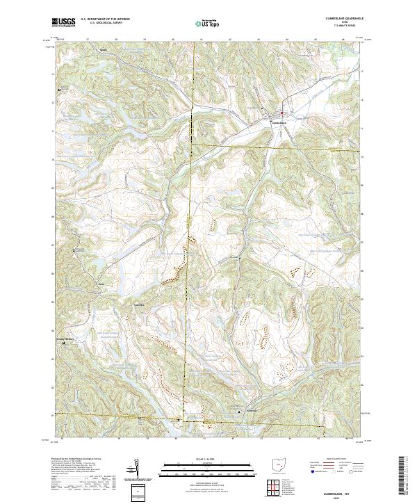
(13)- 1911 Map of Cumberland, 1939 Print
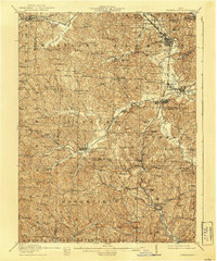 1911 Cumberland1939 Print · USGSSoutheastern Ohio at the start of the twentieth century was a landscape of ridge-top schools and valley rail junctions. Genealogists can trace family footprints through dozens of rural landmarks like Goshen Church, Dogtown, and the Rough and Ready School.2 unique versions available
 - 1949 Map of Clarksburg
 1949 Clarksburg1949 Print · USGSThe upper Ohio River valley and the industrial heart of West Virginia come into focus during this post-war period. Genealogists and researchers can trace the rail corridors of the Baltimore and Ohio and locate centers like Fairmont, Grafton, and Waynesburg.
 - 1956 Map of Clarksburg, 1966 Print
 1956 Clarksburg1966 Print · USGSThe Ohio River valley and the industrial heart of West Virginia are seen here in the mid-1950s as rail and river commerce thrived. Researchers can trace historic transport lines like the Baltimore and Ohio RR and locate ancestral homes in Clarksburg, Moundsville, or Parkersburg.2 unique versions available
 - 1961 Map of Clarksburg
 1961 Clarksburg1961 Print · USGSThe mid-century industrial and river landscapes of West Virginia and Ohio are detailed here, centered on the Ohio River. Researchers can trace the Baltimore and Ohio rail lines connecting towns like Parkersburg, Clarksburg, and Monongah.
 - 1961 Map of Cumberland, 1963 Print
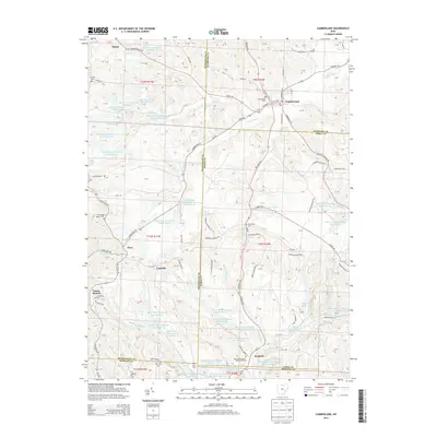
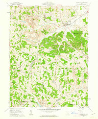 1961 Cumberland1963 Print · USGSSoutheastern Ohio's hill country is captured here during the early sixties, showing a landscape defined by rail transport and surface mining. Trace the Baltimore and Ohio tracks through Cumberland or locate family sites like Brookfield Cem and Ark Springs Ch.4 unique versions available
 - 1980 Map of Senecaville, 1983 Print
 1980 Senecaville1983 Print · USGSEastern Ohio at the start of the eighties reveals a complex landscape of coal extraction and river commerce. Genealogists and historians can trace rail lines like the Conrail and Baltimore and Ohio RR connecting towns like Byesville and Woodsfield.2 unique versions available
 - 1988 Map of Clarksburg, 1989 Print
 1988 Clarksburg1989 Print · USGSThe central Appalachians are documented in detail during the late eighties, showing the industrial and river-based economies of West Virginia, Ohio, and Pennsylvania. Researchers can trace historic rail routes like the B & O RR and locate river towns from St Marys to Parkersburg.
 - 1994 Map of Cumberland, 1998 Print
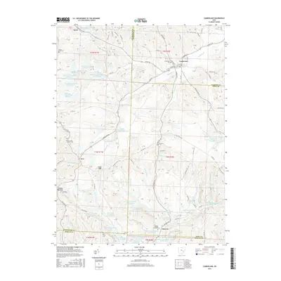
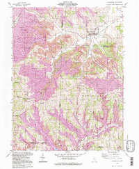 1994 Cumberland1998 Print · USGSSoutheastern Ohio's hill country is captured here during the 1990s as it transitioned through large-scale land reclamation. Genealogists and local historians can trace family locations near Young Hickory, Cumberland, and rural landmarks like Mt Zion Cem or the Township Sch.
 - 2010 Map of Cumberland, 2010 Print
 2010 Cumberland2010 Print · USGSCovers Young Hickory, including Cumberland, Coal Hill, and other nearby areas
 - 2013 Map of Cumberland, 2013 Print
 2013 Cumberland2013 Print · USGSCovers Young Hickory, including Cumberland, Coal Hill, and other nearby areas
 - 2016 Map of Cumberland, 2016 Print
 2016 Cumberland2016 Print · USGSCovers Young Hickory, including Cumberland, Coal Hill, and other nearby areas
 - 2019 Map of Cumberland, 2019 Print
 2019 Cumberland2019 Print · USGSCovers Young Hickory, including Cumberland, Coal Hill, and other nearby areas
 - 2023 Map of Cumberland, 2023 Print
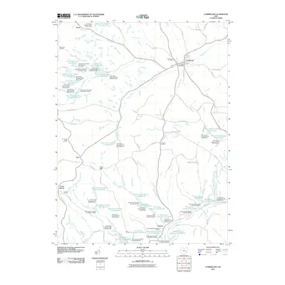
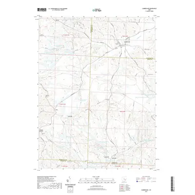
 2023 Cumberland2023 Print · USGSCumberland sits at the four-county corner of Guernsey, Noble, Muskingum, and Morgan during this modern period of industrial land management. Genealogists can trace family burial sites at Cumberland Cem and Lytlesburg Cem among the many Ohio Power Company reservoirs.
End of results
Showing maps 1-13 of 13
Top cities near Young Hickory
- Cambridge historical maps
- New Concord historical maps
- Byesville historical maps
- Caldwell historical maps
- McConnelsville historical maps
- Beverly historical maps
See more
Frequently asked questions
- What are the different types of historical maps available for Young Hickory?
- What is the oldest map of Young Hickory?
- Where can I purchase historical maps of Young Hickory for my home or office?
- Where can I download high-res historical maps of Young Hickory?
- Are there historical topographic maps available for Young Hickory?
- Is there historical aerial imagery available for Young Hickory?
- Where are historical maps of Young Hickory sourced from?