Old Maps of West End, Port Clinton for Metal Detecting
Plan your next treasure hunt with 12 historic maps of West End. Find old homesites, ghost towns, trails, and gathering spots that may be lost to time — perfect for identifying promising metal detecting locations.
- Locate forgotten sites: Uncover places like long-lost settlements, abandoned rail lines, or gathering spots.
- Plan better hunts: Use map overlays combined with LiDAR or satellite views to narrow in on historically rich areas.
- Made for detectorists: Thousands of hobbyists use these maps to discover relics, coins, and hidden history.
Use these historic maps to boost your research and find new opportunities beneath the surface of West End.
West End, Port Clinton maps
(12)- 1901 Map of Put-In-Bay, 1958 Print
 1901 Put-In-Bay1958 Print · USGSOttawa County's shoreline and the famous Lake Erie islands are captured at the start of the twentieth century, before modern development reshaped the coast. Genealogists and historians can trace the rail lines of the Lakeside and Sandusky Line and locate early settlements like Gypsum and St. George.
 - 1903 Map of Put In Bay, 1939 Print
 1903 Put In Bay1939 Print · USGSOttawa County's shoreline and islands are captured in the early twentieth century, showing a world of maritime transit and early rail. Genealogists can trace the early layout of Port Clinton and the distinct settlements of Put in Bay, Gypsum, and Lakeside.
 - 1956 Map of Toledo, 1968 Print
 1956 Toledo1968 Print · USGSNorthwest Ohio and the Lake Erie shoreline are shown in detail during the late fifties, showcasing a landscape of heavy industry, railroads, and island communities. Genealogists and historians can trace rail networks like the Chesapeake & Ohio RR or locate landmarks such as the Erie Proving Ground and Kelleys Island.4 unique versions available
 - 1959 Map of Port Clinton, 1960 Print
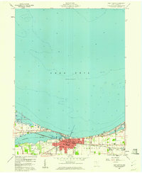 1959 Port Clinton1960 Print · USGSPort Clinton and the industrial shoreline of Lake Erie are captured here during the late fifties as the lakefront economy hummed. Local researchers can trace family plots at Lakeview Cem or locate lost landmarks like the Drive-in Theater and the New York Central rail line.
 - 1961 Map of Toledo
 1961 Toledo1961 Print · USGSThe western basin of Lake Erie and the industrial heart of Northern Ohio are captured here during the post-war era. Researchers can trace historical rail lines like the New York Central or locate landmarks like the Erie Ordnance Depot and Pelee Island.
 - 1969 Map of Port Clinton, 1971 Print
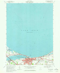 1969 Port Clinton1971 Print · USGSPort Clinton sits at the mouth of the Portage River during a period of steady shoreline growth and industrial activity. Genealogists and local historians can trace family markers at Lakeview Cem, explore the rail layout of the Penn Central, or locate the old Drive-in Theater.
 - 1986 Map of Put-In-Bay
 1986 Put-In-Bay1986 Print · USGSThe Lake Erie archipelago and Ohio shoreline are documented here in the mid-eighties, showing the region's unique maritime and rail connectivity. Trace island life and landmarks like the Marblehead Lighthouse, Put-in-Bay, and Kelleys Island.2 unique versions available
 - 2010 Map of Port Clinton, 2010 Print
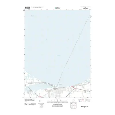 2010 Port Clinton2010 Print · USGSThe Lake Erie shoreline at Port Clinton is captured here during its modern era of maritime commerce and recreation. Researchers can trace the town's layout and local burial sites like Riverview Cemetery or locate navigational aids such as the Port Clinton Light.
 - 2013 Map of Port Clinton, 2013 Print
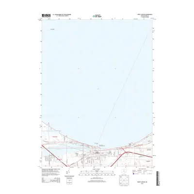 2013 Port Clinton2013 Print · USGSPort Clinton and the Ottawa County shoreline are documented here in the early twenty-first century as a bustling hub of marinas and lakeside industry. Researchers can trace local lineage at Riverview Cem or locate maritime landmarks like the Port Clinton Light.
 - 2016 Map of Port Clinton, 2016 Print
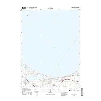 2016 Port Clinton2016 Print · USGSPort Clinton and the Ottawa County shoreline are detailed here in the mid-2010s as the town balances its riverfront roots and coastal aviation. Researchers can pinpoint local landmarks like the Erie-Ottawa International Airport and historic burial sites such as Riverview Cem or Christy Chapel Cem.
 - 2019 Map of Port Clinton, 2019 Print
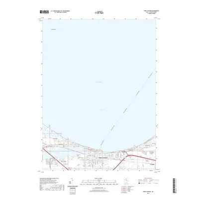 2019 Port Clinton2019 Print · USGSThe Lake Erie shoreline and the mouth of the Portage River are documented here in the late 2010s. Researchers can trace local heritage through sites like Lakeview Cem, the Port Clinton Ferry routes, and the small community of Gypsum.
 - 2023 Map of Port Clinton, 2023 Print
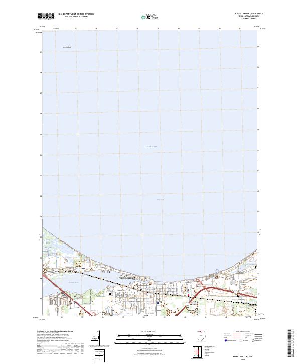 2023 Port Clinton2023 Print · USGSPort Clinton and the Lake Erie shoreline are shown in detail at the start of the 2020s. Researchers can locate family sites at Riverview Cem or Shook Cem and trace the waterfront near the Portage River and Gypsum.
End of results
Showing maps 1-12 of 12
Frequently asked questions
- What are the different types of historical maps available for West End?
- What is the oldest map of West End?
- Where can I purchase historical maps of West End for my home or office?
- Where can I download high-res historical maps of West End?
- Are there historical topographic maps available for West End?
- Is there historical aerial imagery available for West End?
- Where are historical maps of West End sourced from?