Old Maps of Morgan Park, Ohio
Explore 12 old maps of Morgan Park, spanning from 1901 to today. These high-resolution historic maps reveal how streets, neighborhoods, landmarks, and natural features evolved over time — perfect for genealogy, metal detecting, research, and local history exploration.
What you can do with these maps:
- See how Morgan Park changed over time: Compare historical maps to modern-day views to trace roads, homesites, rail lines & more.
- View detailed metadata: Each map includes creators, publishers, year, scale, and archive source.
- Overlay maps with satellite & LiDAR: Visualize the past alongside modern tools to explore terrain & human change.
- Trusted historical sources: Maps sourced from the USGS, Library of Congress, and other archives.
- Access maps your way: View online, download high-res files, or order prints for personal or research use.
Start exploring old maps of Morgan Park to uncover forgotten places, hidden landmarks, and the deep history beneath your feet.
Morgan Park, OH maps
(12)- 1901 Map of Put-In-Bay, 1958 Print
 1901 Put-In-Bay1958 Print · USGSOttawa County's shoreline and the famous Lake Erie islands are captured at the start of the twentieth century, before modern development reshaped the coast. Genealogists and historians can trace the rail lines of the Lakeside and Sandusky Line and locate early settlements like Gypsum and St. George.
 - 1903 Map of Put In Bay, 1939 Print
 1903 Put In Bay1939 Print · USGSOttawa County's shoreline and islands are captured in the early twentieth century, showing a world of maritime transit and early rail. Genealogists can trace the early layout of Port Clinton and the distinct settlements of Put in Bay, Gypsum, and Lakeside.
 - 1956 Map of Toledo, 1968 Print
 1956 Toledo1968 Print · USGSNorthwest Ohio and the Lake Erie shoreline are shown in detail during the late fifties, showcasing a landscape of heavy industry, railroads, and island communities. Genealogists and historians can trace rail networks like the Chesapeake & Ohio RR or locate landmarks such as the Erie Proving Ground and Kelleys Island.4 unique versions available
 - 1959 Map of Put-In-Bay, 1961 Print
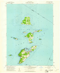 1959 Put-In-Bay1961 Print · USGSThe Lake Erie islands in the late fifties show a thriving archipelago defined by vineyards, ferry travel, and maritime heritage. Genealogists and local historians can trace family locations along Fox Road or near St Pauls Ch, and locate landmarks like the Perry Nat Monument.
 - 1961 Map of Toledo
 1961 Toledo1961 Print · USGSThe western basin of Lake Erie and the industrial heart of Northern Ohio are captured here during the post-war era. Researchers can trace historical rail lines like the New York Central or locate landmarks like the Erie Ordnance Depot and Pelee Island.
 - 1969 Map of Put-In-Bay, 1971 Print
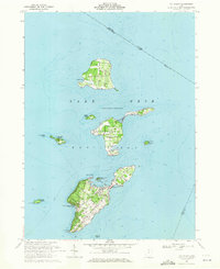 1969 Put-In-Bay1971 Print · USGSThe Bass Islands of Lake Erie appear in the late sixties as a thriving maritime community and summer destination. Genealogists and historians can trace local landmarks like St Pauls Ch, Middle Bass Sch, and the grounds of South Bass Island State Park.
 - 1986 Map of Put-In-Bay
 1986 Put-In-Bay1986 Print · USGSThe Lake Erie archipelago and Ohio shoreline are documented here in the mid-eighties, showing the region's unique maritime and rail connectivity. Trace island life and landmarks like the Marblehead Lighthouse, Put-in-Bay, and Kelleys Island.2 unique versions available
 - 2011 Map of Put-in-Bay, 2011 Print
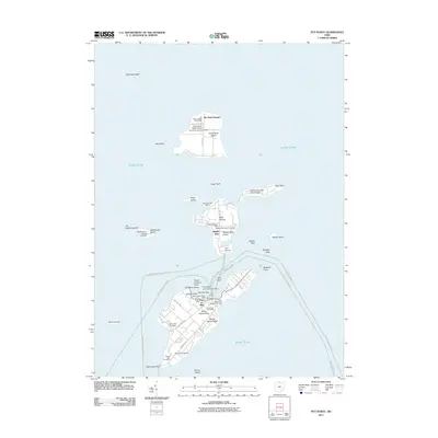 2011 Put-in-Bay2011 Print · USGSThe Bass Islands of Lake Erie are captured here in the early twenty-first century, showing the established maritime networks between these isolated communities. Genealogists can locate family plots at Maple Leaf Cemetery or Crown Hill Cemetery, while historians trace the shoreline from Perry Memorial Monument Light to the docks at Put-in-Bay.
 - 2013 Map of Put-in-Bay, 2013 Print
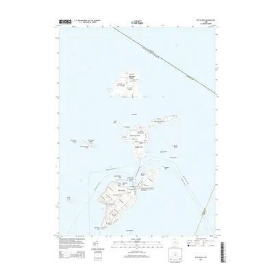 2013 Put-in-Bay2013 Print · USGSThe Lake Erie islands in the early twenty-first century remain vital maritime and aviation hubs near the Canadian border. Researchers can trace local lineage at Maple Leaf Cemetery or explore landmarks like The Boardwalk and the Perry's Victory Memorial.
 - 2016 Map of Put-in-Bay, 2016 Print
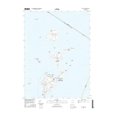 2016 Put-in-Bay2016 Print · USGSThe Bass Islands of Lake Erie appear in detail during the late twenty-tens, showing the established ferry routes and local aviation network. Trace island life from the Peace Memorial to sites like Crown Hill Cem and Lighthouse Point.
 - 2019 Map of Put-in-Bay, 2019 Print
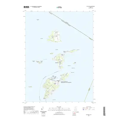 2019 Put-in-Bay2019 Print · USGSThe Lake Erie archipelago comes to life in this detailed view of the island communities and the international boundary. Genealogists and historians can trace cemetery locations like Maple Leaf Cem or explore the transit lines of the Middle Bass Island Ferry.
 - 2023 Map of Put-in-Bay, 2023 Print
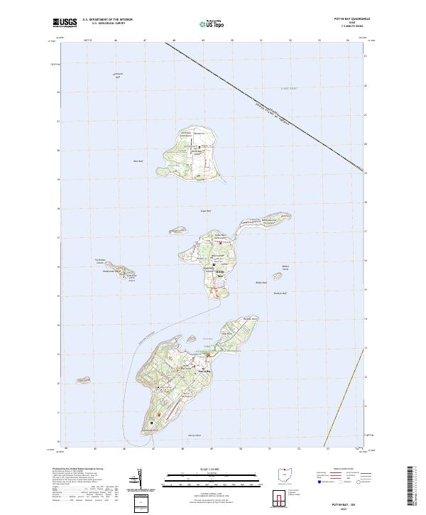 2023 Put-in-Bay2023 Print · USGSThe Bass Islands of Lake Erie are captured in detail during the early 2020s, showing the modern layout of this famous archipelago. Trace family sites at Crown Hill Cem and locate local landmarks like the Perry's Victory and International Peace Memorial.
End of results
Showing maps 1-12 of 12
Frequently asked questions
- What are the different types of historical maps available for Morgan Park?
- What is the oldest map of Morgan Park?
- Where can I purchase historical maps of Morgan Park for my home or office?
- Where can I download high-res historical maps of Morgan Park?
- Are there historical topographic maps available for Morgan Park?
- Is there historical aerial imagery available for Morgan Park?
- Where are historical maps of Morgan Park sourced from?