2000s (21st Century) Maps of Dixie, Ohio
Explore 6 historic maps of Dixie from the 2000s (21st Century). These maps offer a rare glimpse into what life looked like during the 2000s — showing old roads, neighborhoods, homes, and landmarks that have changed or disappeared over time.
Whether you're researching your family's past, planning a metal detecting trip, or studying how Dixie's landscape evolved across the 2000s, these high-resolution maps are a powerful tool for exploring the history of this region.
- Focus on a specific era: All maps on this page are from the 2000s, giving you a focused view of this time period.
- See what’s changed: Compare century-old streets, trails, and buildings to today's modern landscape using overlays and satellite layers.
- Research with precision: Use these maps for genealogy, historical research, land use analysis, or educational projects.
- View, download, or print: Maps are fully viewable online in high resolution, and can be downloaded or printed for your own records.
Start exploring Dixie's history through authentic maps from the 2000s. This is your window into the past.
Dixie, OH maps
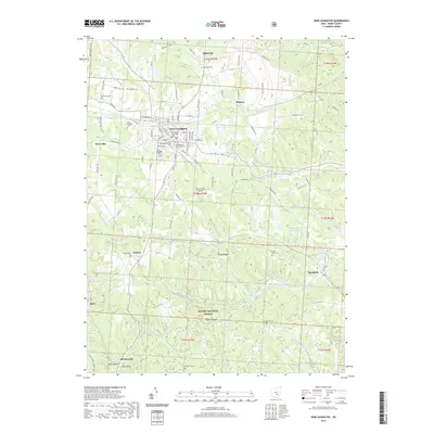
(6)- 2002 Map of New Lexington, 2006 Print
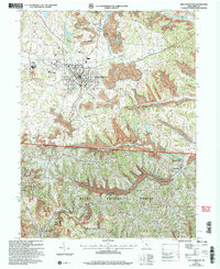 2002 New Lexington2006 Print · USGSNew Lexington and the surrounding Perry County hills are shown here at the turn of the millennium, following decades of coal production and forest recovery. Researchers can trace local genealogy through sites like Maplewood Cemetery and Ironpoint Ch, or locate the old Strip Mine and Tipple sites that once fueled the local economy.
 - 2011 Map of New Lexington, 2011 Print
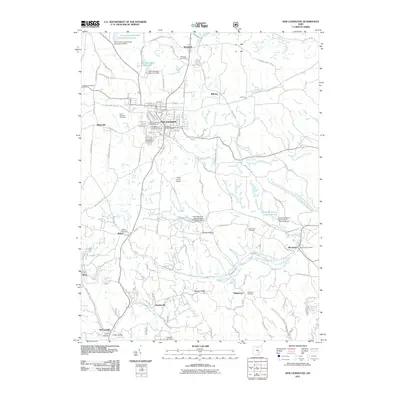 2011 New Lexington2011 Print · USGSCovers Dixie, including New Lexington, Bristol, and other nearby areas
 - 2013 Map of New Lexington, 2013 Print
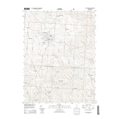 2013 New Lexington2013 Print · USGSCovers Dixie, including New Lexington, Bristol, and other nearby areas
 - 2016 Map of New Lexington, 2016 Print
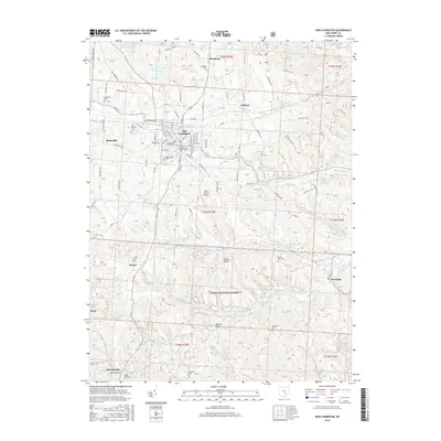 2016 New Lexington2016 Print · USGSCovers Dixie, including New Lexington, Bristol, and other nearby areas
 - 2019 Map of New Lexington, 2019 Print
 2019 New Lexington2019 Print · USGSCovers Dixie, including New Lexington, Bristol, and other nearby areas
 - 2023 Map of New Lexington, 2023 Print
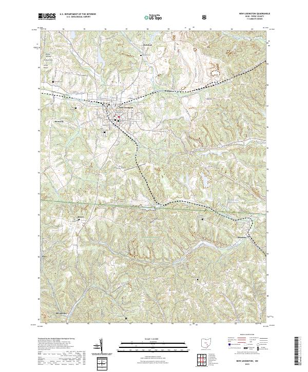 2023 New Lexington2023 Print · USGSNew Lexington and the surrounding Perry County hills are shown here in recent years as the regional seat of government. Researchers can find numerous family burial sites like Rehoboth Cem, local landmarks such as Wilson Mound, and the footprint of the Wayne National Forest.
End of results
Showing maps 1-6 of 6
Top cities near Dixie
- Nelsonville historical maps
- New Lexington historical maps
- Crooksville historical maps
- Glouster historical maps
- Somerset historical maps
- Bremen historical maps
See more
Frequently asked questions
- What are the different types of historical maps available for Dixie?
- What is the oldest map of Dixie?
- Where can I purchase historical maps of Dixie for my home or office?
- Where can I download high-res historical maps of Dixie?
- Are there historical topographic maps available for Dixie?
- Is there historical aerial imagery available for Dixie?
- Where are historical maps of Dixie sourced from?