2000s (21st Century) Maps of Maxville, Ohio
Explore 6 historic maps of Maxville from the 2000s (21st Century). These maps offer a rare glimpse into what life looked like during the 2000s — showing old roads, neighborhoods, homes, and landmarks that have changed or disappeared over time.
Whether you're researching your family's past, planning a metal detecting trip, or studying how Maxville's landscape evolved across the 2000s, these high-resolution maps are a powerful tool for exploring the history of this region.
- Focus on a specific era: All maps on this page are from the 2000s, giving you a focused view of this time period.
- See what’s changed: Compare century-old streets, trails, and buildings to today's modern landscape using overlays and satellite layers.
- Research with precision: Use these maps for genealogy, historical research, land use analysis, or educational projects.
- View, download, or print: Maps are fully viewable online in high resolution, and can be downloaded or printed for your own records.
Start exploring Maxville's history through authentic maps from the 2000s. This is your window into the past.
Maxville, OH maps
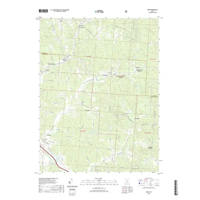
(6)- 2002 Map of Gore, 2006 Print
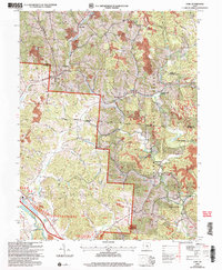 2002 Gore2006 Print · USGSThe Hocking Valley hills reveal a landscape of mining and rail history at the start of the twenty-first century. Genealogists and industrial historians can trace family cemeteries like Davis Cem alongside coal-era relics such as the Bessie Tipple.
 - 2011 Map of Gore, 2011 Print
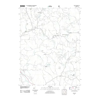 2011 Gore2011 Print · USGSCovers Maxville, including Logan, Webb Summit, and other nearby areas
 - 2013 Map of Gore, 2013 Print
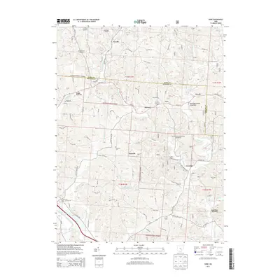 2013 Gore2013 Print · USGSCovers Maxville, including Logan, Webb Summit, and other nearby areas
 - 2016 Map of Gore, 2016 Print
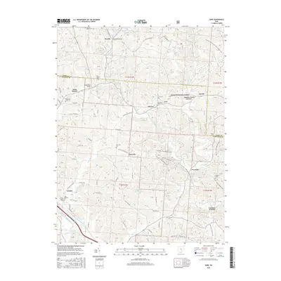 2016 Gore2016 Print · USGSCovers Maxville, including Logan, Webb Summit, and other nearby areas
 - 2019 Map of Gore, 2019 Print
 2019 Gore2019 Print · USGSCovers Maxville, including Logan, Webb Summit, and other nearby areas
 - 2023 Map of Gore, 2023 Print
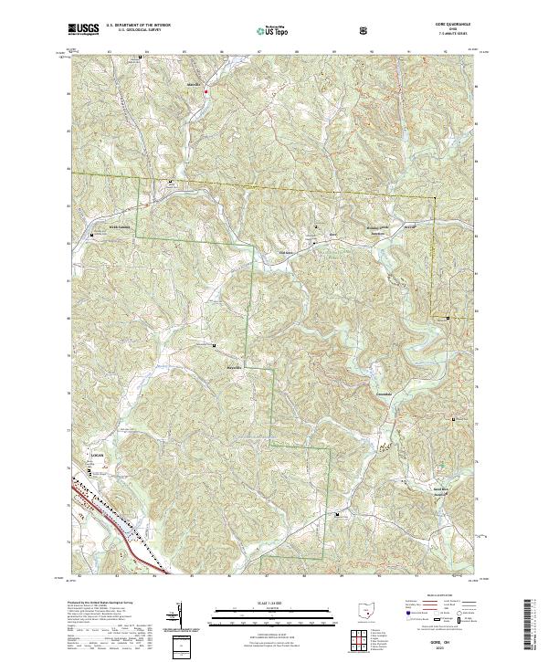 2023 Gore2023 Print · USGSHocking County’s wooded ridges and creek valleys are documented here in the early twenty-first century, showing the enduring rural layout of this corner of Ohio. Genealogists can locate family landmarks like Webb Chapel Cem, Gore, and Webb Summit.
End of results
Showing maps 1-6 of 6
Top cities near Maxville
- Lancaster historical maps
- Nelsonville historical maps
- New Lexington historical maps
- Crooksville historical maps
- Somerset historical maps
- Starr historical maps
See more
Frequently asked questions
- What are the different types of historical maps available for Maxville?
- What is the oldest map of Maxville?
- Where can I purchase historical maps of Maxville for my home or office?
- Where can I download high-res historical maps of Maxville?
- Are there historical topographic maps available for Maxville?
- Is there historical aerial imagery available for Maxville?
- Where are historical maps of Maxville sourced from?