2000s (21st Century) Maps of Plain City, Ohio
Explore 10 historic maps of Plain City from the 2000s (21st Century). These maps offer a rare glimpse into what life looked like during the 2000s — showing old roads, neighborhoods, homes, and landmarks that have changed or disappeared over time.
Whether you're researching your family's past, planning a metal detecting trip, or studying how Plain City's landscape evolved across the 2000s, these high-resolution maps are a powerful tool for exploring the history of this region.
- Focus on a specific era: All maps on this page are from the 2000s, giving you a focused view of this time period.
- See what’s changed: Compare century-old streets, trails, and buildings to today's modern landscape using overlays and satellite layers.
- Research with precision: Use these maps for genealogy, historical research, land use analysis, or educational projects.
- View, download, or print: Maps are fully viewable online in high resolution, and can be downloaded or printed for your own records.
Start exploring Plain City's history through authentic maps from the 2000s. This is your window into the past.
Plain City, OH maps
(10)- 2010 Map of Hilliard, 2010 Print
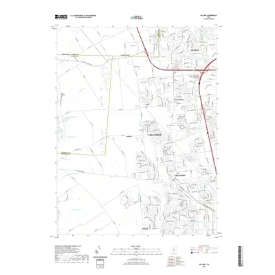
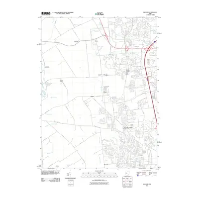 2010 Hilliard2010 Print · USGSCovers Plain City, including Columbus, Dublin, and other nearby areas
 - 2010 Map of Plain City, 2010 Print
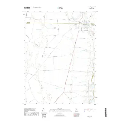
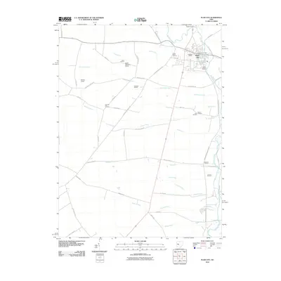 2010 Plain City2010 Print · USGSCovers Plain City, including Monroe Township, Darby Township, and other nearby areas
 - 2013 Map of Hilliard, 2013 Print
 2013 Hilliard2013 Print · USGSCovers Plain City, including Columbus, Dublin, and other nearby areas
 - 2013 Map of Plain City, 2013 Print
 2013 Plain City2013 Print · USGSCovers Plain City, including Monroe Township, Darby Township, and other nearby areas
 - 2016 Map of Plain City, 2016 Print
 2016 Plain City2016 Print · USGSCovers Plain City, including Monroe Township, Darby Township, and other nearby areas
 - 2016 Map of Hilliard, 2016 Print
 2016 Hilliard2016 Print · USGSCovers Plain City, including Columbus, Dublin, and other nearby areas
 - 2019 Map of Plain City, 2019 Print
 2019 Plain City2019 Print · USGSCovers Plain City, including Monroe Township, Darby Township, and other nearby areas
 - 2019 Map of Hilliard, 2019 Print
 2019 Hilliard2019 Print · USGSCovers Plain City, including Columbus, Dublin, and other nearby areas
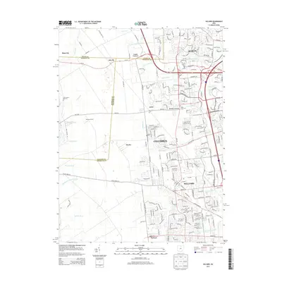
 - 2023 Map of Hilliard, 2023 Print
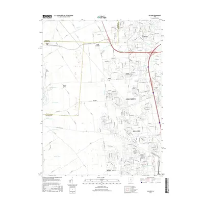
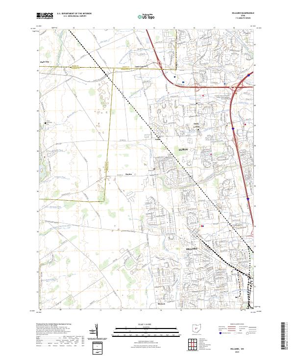 2023 Hilliard2023 Print · USGSHilliard and Dublin exhibit significant suburban transformation in the early twenty-first century as they expand across the Franklin and Madison county lines. Researchers can trace the enduring footprints of early hamlets at Lamb Corners and Amlin or locate family sites near Sandy Corners Cem and Rings Cem.
 - 2023 Map of Plain City, 2023 Print
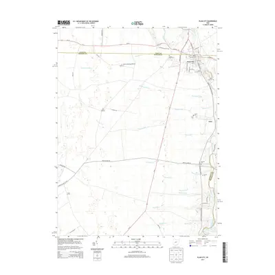
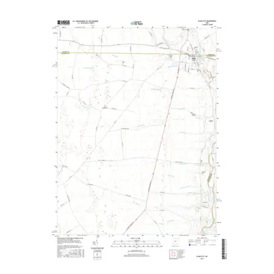
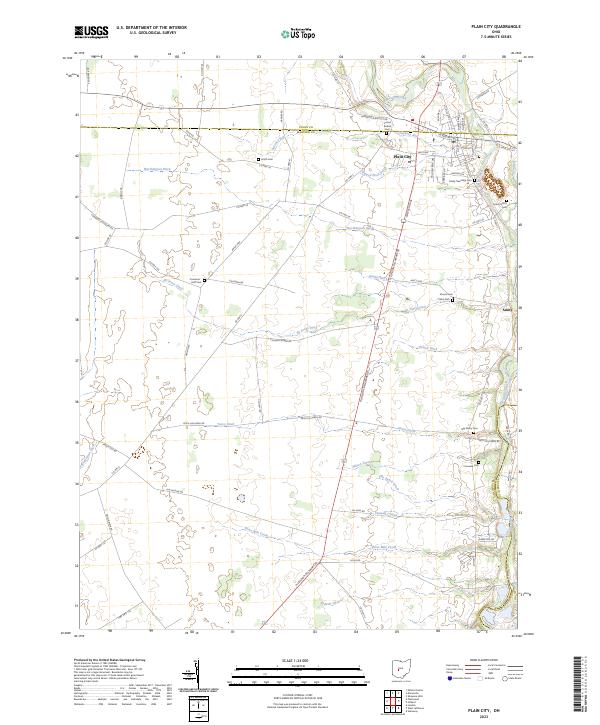 2023 Plain City2023 Print · USGSCentral Ohio farm country and the village of Plain City are documented in the early twenty-first century. Genealogists can locate several burial grounds like Forest Grove Cem and Smith Cem alongside historic routes like Amish Pike.
End of results
Showing maps 1-10 of 10
Top cities near Plain City
- Columbus historical maps
- Dublin historical maps
- Delaware historical maps
- Hilliard historical maps
- Upper Arlington historical maps
- Grove City historical maps
See more
Frequently asked questions
- What are the different types of historical maps available for Plain City?
- What is the oldest map of Plain City?
- Where can I purchase historical maps of Plain City for my home or office?
- Where can I download high-res historical maps of Plain City?
- Are there historical topographic maps available for Plain City?
- Is there historical aerial imagery available for Plain City?
- Where are historical maps of Plain City sourced from?