2000s (21st Century) Maps of Atwater Township, Ohio
Explore 20 historic maps of Atwater Township from the 2000s (21st Century). These maps offer a rare glimpse into what life looked like during the 2000s — showing old roads, neighborhoods, homes, and landmarks that have changed or disappeared over time.
Whether you're researching your family's past, planning a metal detecting trip, or studying how Atwater Township's landscape evolved across the 2000s, these high-resolution maps are a powerful tool for exploring the history of this region.
- Focus on a specific era: All maps on this page are from the 2000s, giving you a focused view of this time period.
- See what’s changed: Compare century-old streets, trails, and buildings to today's modern landscape using overlays and satellite layers.
- Research with precision: Use these maps for genealogy, historical research, land use analysis, or educational projects.
- View, download, or print: Maps are fully viewable online in high resolution, and can be downloaded or printed for your own records.
Start exploring Atwater Township's history through authentic maps from the 2000s. This is your window into the past.
Atwater Township, OH maps
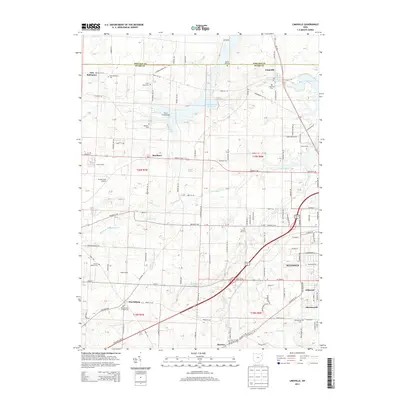
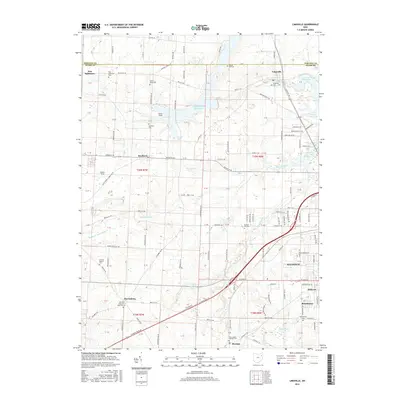
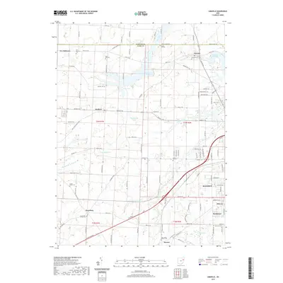
(20)- 2010 Map of Atwater, 2010 Print
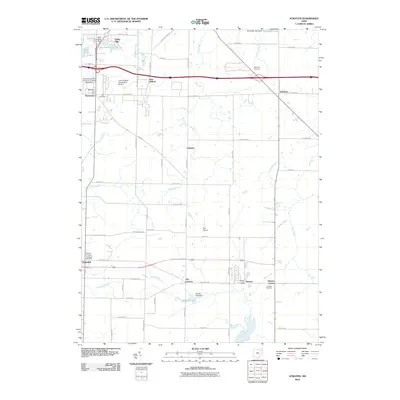 2010 Atwater2010 Print · USGSCovers Atwater Township, including Rootstown, Randolph, and other nearby areas
 - 2010 Map of Limaville, 2010 Print
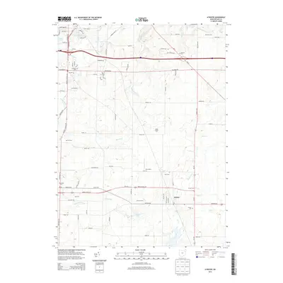
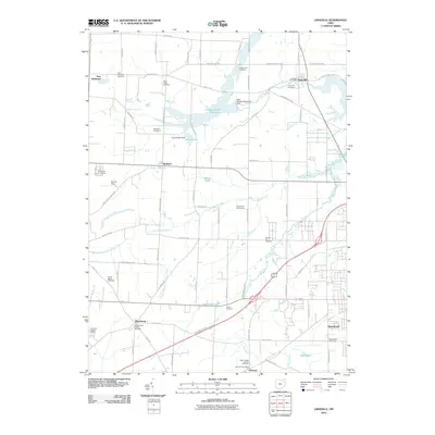 2010 Limaville2010 Print · USGSCovers Atwater Township, including Alliance, Marlboro, and other nearby areas
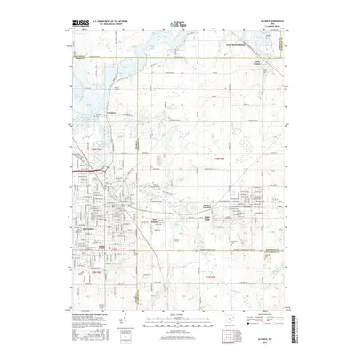
 - 2010 Map of Alliance, 2010 Print
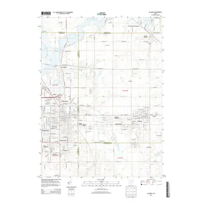
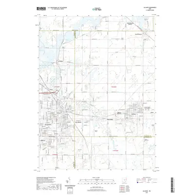
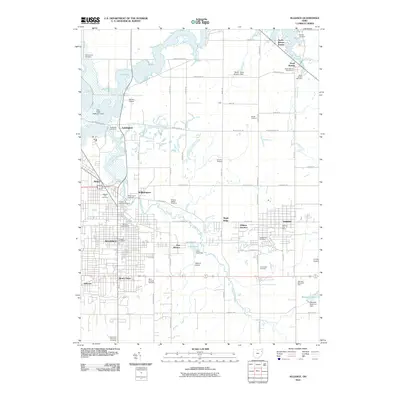 2010 Alliance2010 Print · USGSCovers Atwater Township, including Alliance, Lexington, and other nearby areas
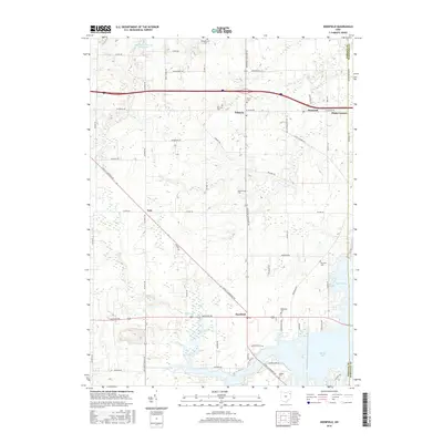
 - 2010 Map of Deerfield, 2010 Print
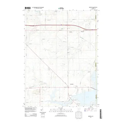
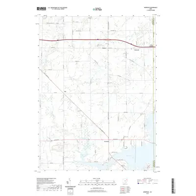
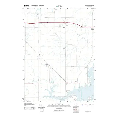 2010 Deerfield2010 Print · USGSCovers Atwater Township, including Deerfield, Palmyra, and other nearby areas
 - 2013 Map of Limaville, 2013 Print
 2013 Limaville2013 Print · USGSCovers Atwater Township, including Alliance, Marlboro, and other nearby areas
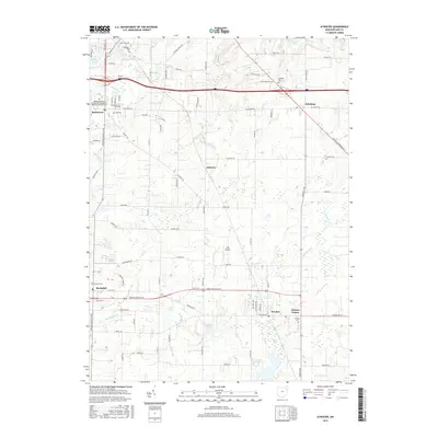
 - 2013 Map of Atwater, 2013 Print
 2013 Atwater2013 Print · USGSCovers Atwater Township, including Rootstown, Randolph, and other nearby areas
 - 2013 Map of Deerfield, 2013 Print
 2013 Deerfield2013 Print · USGSCovers Atwater Township, including Deerfield, Palmyra, and other nearby areas
 - 2013 Map of Alliance, 2013 Print
 2013 Alliance2013 Print · USGSCovers Atwater Township, including Alliance, Lexington, and other nearby areas
 - 2016 Map of Limaville, 2016 Print
 2016 Limaville2016 Print · USGSCovers Atwater Township, including Alliance, Marlboro, and other nearby areas
 - 2016 Map of Deerfield, 2016 Print
 2016 Deerfield2016 Print · USGSCovers Atwater Township, including Deerfield, Palmyra, and other nearby areas
 - 2016 Map of Atwater, 2016 Print
 2016 Atwater2016 Print · USGSCovers Atwater Township, including Rootstown, Randolph, and other nearby areas
 - 2016 Map of Alliance, 2016 Print
 2016 Alliance2016 Print · USGSCovers Atwater Township, including Alliance, Lexington, and other nearby areas
 - 2019 Map of Limaville, 2019 Print
 2019 Limaville2019 Print · USGSCovers Atwater Township, including Alliance, Marlboro, and other nearby areas
 - 2019 Map of Atwater, 2019 Print
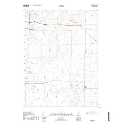 2019 Atwater2019 Print · USGSCovers Atwater Township, including Rootstown, Randolph, and other nearby areas
 - 2019 Map of Deerfield, 2019 Print
 2019 Deerfield2019 Print · USGSCovers Atwater Township, including Deerfield, Palmyra, and other nearby areas
 - 2019 Map of Alliance, 2019 Print
 2019 Alliance2019 Print · USGSCovers Atwater Township, including Alliance, Lexington, and other nearby areas
 - 2023 Map of Alliance, 2023 Print
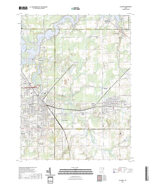 2023 Alliance2023 Print · USGSThe tri-county border area of Stark, Mahoning, and Columbiana comes alive in this contemporary look at the ALLIANCE region. Researchers can trace family roots at the University of Mount Union or through local sites like Dutch Church and Williamsport Cem.
 - 2023 Map of Limaville, 2023 Print
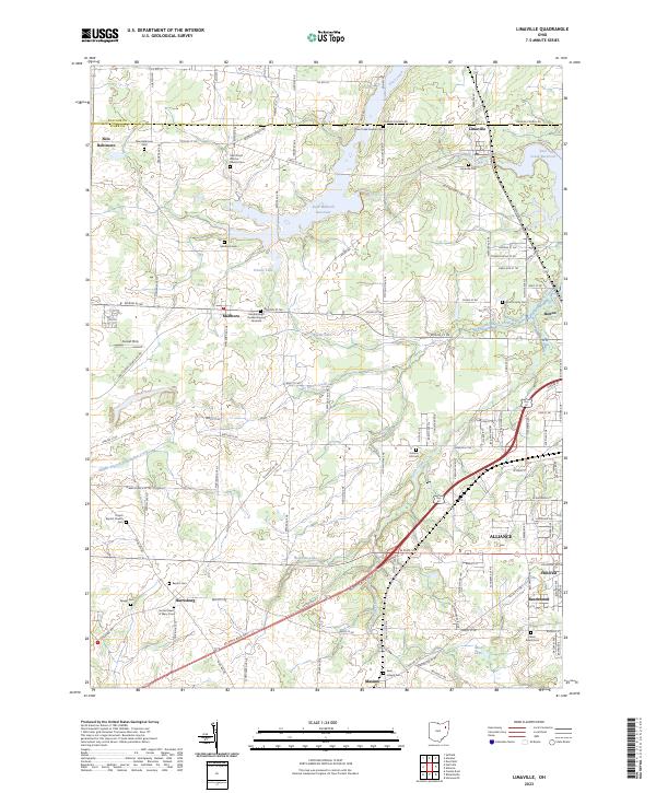 2023 Limaville2023 Print · USGSNortheastern Ohio’s rural landscape is captured here in the early twenty-first century as it balances legacy homesteads with major water projects. Genealogists can locate family-named sites like Wood Family Cem and the Marlboro Quaker Burying Grounds near settlements like Harrisburg.
 - 2023 Map of Atwater, 2023 Print
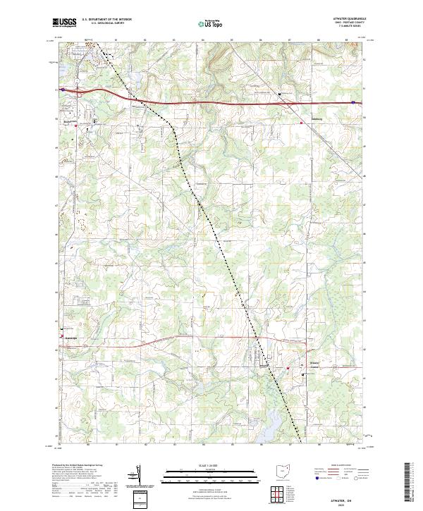 2023 Atwater2023 Print · USGSPortage County at the start of the 2020s shows a landscape where deep-rooted agricultural roots meet institutional growth. Local researchers can trace family lines through sites like Edinburg Cemetery and Homeland Cemetery or locate old farm boundaries near Atwater Center and Muzzy Lake.
 - 2023 Map of Deerfield, 2023 Print
 2023 Deerfield2023 Print · USGSPortage County at the start of the 2020s shows a landscape of established crossroads settlements and the expansive waters of Berlin Lake. Researchers can locate ancestral resting places like Whippoorwill Cem and Deerfield Cem or trace the early paths of Yale and Diamond.
End of results
Showing maps 1-20 of 20
Top cities near Atwater Township
- Canton historical maps
- Plain historical maps
- Kent historical maps
- Alliance historical maps
- North Canton historical maps
- Streetsboro historical maps
See more
Top neighborhoods of Atwater Township
Frequently asked questions
- What are the different types of historical maps available for Atwater Township?
- What is the oldest map of Atwater Township?
- Where can I purchase historical maps of Atwater Township for my home or office?
- Where can I download high-res historical maps of Atwater Township?
- Are there historical topographic maps available for Atwater Township?
- Is there historical aerial imagery available for Atwater Township?
- Where are historical maps of Atwater Township sourced from?