Old Maps of Jackson Township, Ohio for Genealogy
Trace your family roots with 34 historic maps of Jackson Township. These high-res maps reveal old neighborhoods, homesites, landmarks, and streets — helping you uncover where your ancestors lived and how the area evolved over time.
- Explore historic neighborhoods: Identify where your relatives may have lived in the 1800s or 1900s.
- Compare maps over time: Trace the changes in streets, buildings, and landmarks for multi-generational research.
- Perfect for genealogy & ancestry research: Used by family historians and researchers to map out lineage and migration.
These maps are an incredible resource for exploring your personal connection to Jackson Township's past.
Jackson Township, OH maps
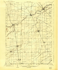
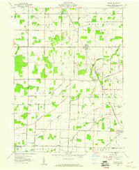
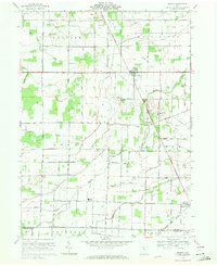
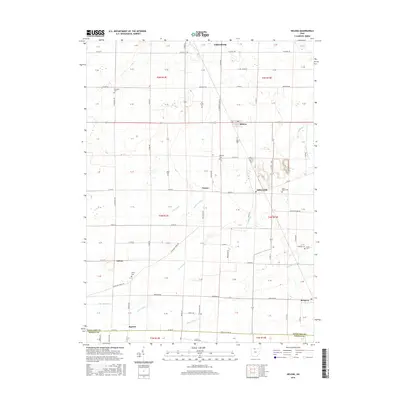
(34)- 1901 Map of Fostoria, 1958 Print
 1901 Fostoria1958 Print · USGSNorthwest Ohio at the turn of the century is captured here as a thriving rail hub where three counties meet. Genealogists and rail historians can trace the early networks of Fostoria and locate long-standing settlements like New Riegel, Alvada, and Bascom.
 - 1901 Map of Elmore, 1961 Print
 1901 Elmore1961 Print · USGSNorthwest Ohio at the turn of the century was a landscape of thriving rail towns and fertile township acreage. You can trace the path of the Lake Shore Electric Railway through Woodville or locate early settlements like Pemberville and Rising Sun.
 - 1903 Map of Fostoria, 1939 Print
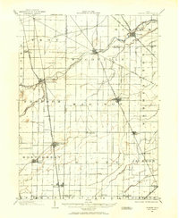
 1903 Fostoria1939 Print · USGSFostoria at the turn of the century was a burgeoning rail center where seven major lines crossed paths at a triple-county border. Genealogists can trace family footprints in small outlying settlements like New Riegel, Bascom, and West Independence or follow the path of the Hocking Valley RR.
 - 1903 Map of Elmore, 1943 Print
 1903 Elmore1943 Print · USGSNorthwest Ohio at the turn of the century was a hive of competing rail lines and riverside market towns. Researchers can trace the early industrial footprints of Gibsonburg, Pemberville, and Elmore alongside the Ohio Central System and Wolf Creek.
 - 1956 Map of Toledo, 1968 Print
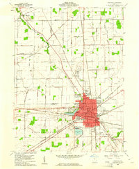
 1956 Toledo1968 Print · USGSNorthwest Ohio and the Lake Erie shoreline are shown in detail during the late fifties, showcasing a landscape of heavy industry, railroads, and island communities. Genealogists and historians can trace rail networks like the Chesapeake & Ohio RR or locate landmarks such as the Erie Proving Ground and Kelleys Island.4 unique versions available
 - 1958 Map of Bradner, 1960 Print
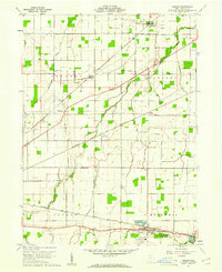
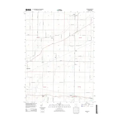
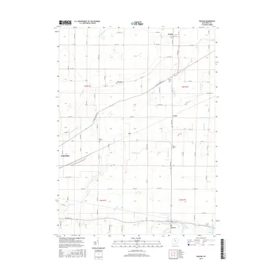
 1958 Bradner1960 Print · USGSMid-century Wood County and Sandusky County thrive along a busy rail corridor in the late fifties. Researchers can trace the extensive network of Oil Wells around Bradner and locate family-history landmarks like the Graham Cem and Township Sch.
 - 1959 Map of Helena, 1960 Print
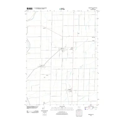
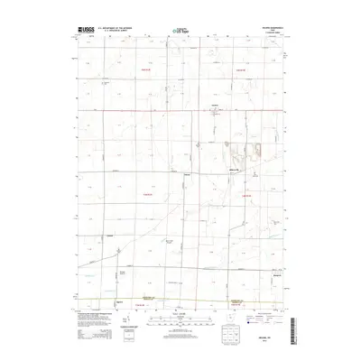
 1959 Helena1960 Print · USGSSandusky County's rural landscape at the close of the 1950s shows a productive mix of agriculture and oil production. Researchers can locate family landmarks like St Marys Cem and Smith Cem, or trace the rail lines through Helena and Burgoon.2 unique versions available
 - 1960 Map of Bascom, 1961 Print
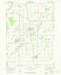
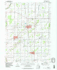
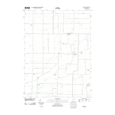
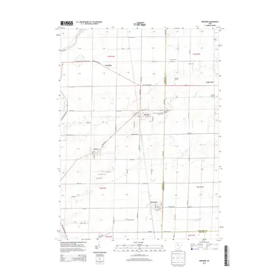
 1960 Bascom1961 Print · USGSSeneca County's agricultural heartland was a busy corridor for the Baltimore and Ohio and Nickel Plate railroads at the start of the 1960s. Genealogists can locate family landmarks like Null Cem, Zion Ch, and the rural Iler (Ilers Sta).2 unique versions available
 - 1960 Map of Fostoria, 1961 Print
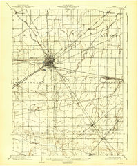
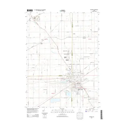
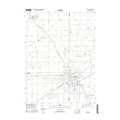
 1960 Fostoria1961 Print · USGSFostoria is captured at the height of its mid-century industrial prominence, serving as a vital crossroads for four major railroads. Genealogists and local historians can trace the city's growth alongside rural landmarks like Dysinger Cem, Field Sch, and Lake Lamberjack.2 unique versions available
 - 1961 Map of Toledo
 1961 Toledo1961 Print · USGSThe western basin of Lake Erie and the industrial heart of Northern Ohio are captured here during the post-war era. Researchers can trace historical rail lines like the New York Central or locate landmarks like the Erie Ordnance Depot and Pelee Island.
 - 1969 Map of Bradner, 1971 Print
 1969 Bradner1971 Print · USGSNorthwest Ohio's oil-producing landscape is captured here in the late sixties, showing the industrial density of Wood and Sandusky Counties. Genealogists and researchers can pinpoint family landmarks like Bell Cem and St James Ch or trace the Penn Central rail line through Bradner and Risingsun.3 unique versions available
 - 1969 Map of Helena, 1971 Print
 1969 Helena1971 Print · USGSSandusky County's rural landscape is captured here in the late sixties, showing a region defined by family farms, oil wells, and intersecting railroads. Genealogists and local historians can trace legacy sites like Quinshan Cemetery, the settlement of Tinney, and the Lakota High School.
 - 1986 Map of Findlay
 1986 Findlay1986 Print · USGSNorthwest Ohio's industrial and agricultural heartland is documented here in the mid-1980s, centered on the major hubs of Findlay, Fostoria, and Tiffin. Researchers can trace the intersections of the BALTIMORE AND OHIO railroad and family sites near Greenlawn Cem or Sagar Ridge.2 unique versions available
 - 1994 Map of Bradner, 1998 Print
 1994 Bradner1998 Print · USGSNorthwestern Ohio's farmland and oil fields are captured here in the late twentieth century. Researchers can trace the layout of Bradner, Wayne, and Risingsun, or locate genealogy sites like Graham Cem and the small settlement of Hatton.
 - 2010 Map of Fostoria, 2010 Print
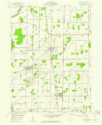
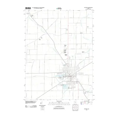 2010 Fostoria2010 Print · USGSCovers Jackson Township, including Fostoria, West Millgrove, and other nearby areas
 - 2010 Map of Bascom, 2010 Print
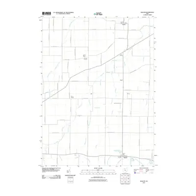 2010 Bascom2010 Print · USGSCovers Jackson Township, including Fostoria, Liberty Township, and other nearby areas
 - 2010 Map of Helena, 2010 Print
 2010 Helena2010 Print · USGSCovers Jackson Township, including Gibsonburg, Helena, and other nearby areas
 - 2010 Map of Bradner, 2010 Print
 2010 Bradner2010 Print · USGSCovers Jackson Township, including Bradner, Wayne, and other nearby areas
 - 2013 Map of Helena, 2013 Print
 2013 Helena2013 Print · USGSCovers Jackson Township, including Gibsonburg, Helena, and other nearby areas
 - 2013 Map of Bascom, 2013 Print
 2013 Bascom2013 Print · USGSCovers Jackson Township, including Fostoria, Liberty Township, and other nearby areas
 - 2013 Map of Bradner, 2013 Print
 2013 Bradner2013 Print · USGSCovers Jackson Township, including Bradner, Wayne, and other nearby areas
 - 2013 Map of Fostoria, 2013 Print
 2013 Fostoria2013 Print · USGSCovers Jackson Township, including Fostoria, West Millgrove, and other nearby areas
 - 2016 Map of Fostoria, 2016 Print
 2016 Fostoria2016 Print · USGSCovers Jackson Township, including Fostoria, West Millgrove, and other nearby areas
 - 2016 Map of Bascom, 2016 Print
 2016 Bascom2016 Print · USGSCovers Jackson Township, including Fostoria, Liberty Township, and other nearby areas
 - 2016 Map of Helena, 2016 Print
 2016 Helena2016 Print · USGSCovers Jackson Township, including Gibsonburg, Helena, and other nearby areas
Showing maps 1-25 of 34
Top cities near Jackson Township
- Findlay historical maps
- Tiffin historical maps
- Fremont historical maps
- Fostoria historical maps
- Gibsonburg historical maps
- Pemberville historical maps
See more
Top neighborhoods of Jackson Township
Frequently asked questions
- What are the different types of historical maps available for Jackson Township?
- What is the oldest map of Jackson Township?
- Where can I purchase historical maps of Jackson Township for my home or office?
- Where can I download high-res historical maps of Jackson Township?
- Are there historical topographic maps available for Jackson Township?
- Is there historical aerial imagery available for Jackson Township?
- Where are historical maps of Jackson Township sourced from?