Old Maps of Seneca Township, Ohio for Metal Detecting
Plan your next treasure hunt with 36 historic maps of Seneca Township. Find old homesites, ghost towns, trails, and gathering spots that may be lost to time — perfect for identifying promising metal detecting locations.
- Locate forgotten sites: Uncover places like long-lost settlements, abandoned rail lines, or gathering spots.
- Plan better hunts: Use map overlays combined with LiDAR or satellite views to narrow in on historically rich areas.
- Made for detectorists: Thousands of hobbyists use these maps to discover relics, coins, and hidden history.
Use these historic maps to boost your research and find new opportunities beneath the surface of Seneca Township.
Seneca Township, OH maps
(36)- 1901 Map of Fostoria, 1958 Print
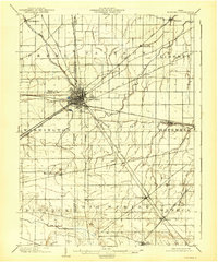
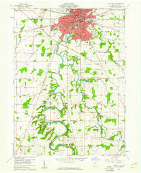
 1901 Fostoria1958 Print · USGSNorthwest Ohio at the turn of the century is captured here as a thriving rail hub where three counties meet. Genealogists and rail historians can trace the early networks of Fostoria and locate long-standing settlements like New Riegel, Alvada, and Bascom.
 - 1903 Map of Fostoria, 1939 Print
 1903 Fostoria1939 Print · USGSFostoria at the turn of the century was a burgeoning rail center where seven major lines crossed paths at a triple-county border. Genealogists can trace family footprints in small outlying settlements like New Riegel, Bascom, and West Independence or follow the path of the Hocking Valley RR.
 - 1906 Map of Sycamore, 1932 Print
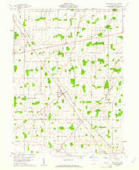
 1906 Sycamore1932 Print · USGSThe rural heart of north-central Ohio is captured here at the height of its steam-rail era. Genealogists and local historians can trace family locations near Sycamore, Nevada, and Belle Vernon, or locate landmarks like Oakgrove School and the Rock Run Church.
 - 1906 Map of Tiffin, 1948 Print
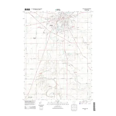
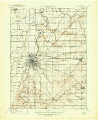 1906 Tiffin1948 Print · USGSSeneca County's rail-and-river network is frozen in time during the first decade of the 1900s. Genealogists can trace family roots through vanished stops like Linden or follow the Seneca Indian Reservation Boundary past Tiffin and Bloomville.
 - 1907 Map of Upper Sandusky, 1943 Print
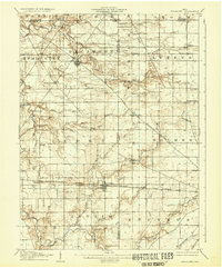
 1907 Upper Sandusky1943 Print · USGSWyandot County at the dawn of the twentieth century was a landscape of thriving rail junctions and dispersed rural school districts. Genealogists and local historians can trace the exact locations of family landmarks like Grace Chapel, the Indian Mill, and numerous rural schools from Moody School to Hendricks School 24.
 - 1950 Map of Marion
 1950 Marion1950 Print · USGSCentral Ohio was a powerhouse of rail and river industry at the mid-century point, serving as a vital corridor between the Great Lakes and the Ohio River valley. Genealogists and rail historians can trace the paths of the Erie RR and Nickel Plate Road through towns like Bucyrus, Galion, and Upper Sandusky.
 - 1956 Map of Toledo, 1968 Print
 1956 Toledo1968 Print · USGSNorthwest Ohio and the Lake Erie shoreline are shown in detail during the late fifties, showcasing a landscape of heavy industry, railroads, and island communities. Genealogists and historians can trace rail networks like the Chesapeake & Ohio RR or locate landmarks such as the Erie Proving Ground and Kelleys Island.4 unique versions available
 - 1960 Map of Sycamore, 1961 Print
 1960 Sycamore1961 Print · USGSThe crossroads of Wyandot and Seneca Counties are captured here in 1960, showing a landscape still defined by rail lines and old treaty lines. Trace the Old Indian Treaty Boundary and find rural landmarks like Quaker Hill Cem and Parker Bridge.3 unique versions available
 - 1960 Map of Tiffin South, 1961 Print
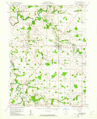
 1960 Tiffin South1961 Print · USGSTiffin was a thriving rail and educational hub in the early sixties, centered on the winding Sandusky River. Researchers can trace old family sites across HOPEWELL and EDEN townships, locating St Marys Cem, Heidelberg College, and the County Fairground.3 unique versions available
 - 1960 Map of New Riegel, 1961 Print
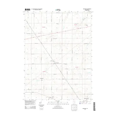
 1960 New Riegel1961 Print · USGSSeneca County's agricultural heartland is documented here just as the sixties began, showing the organized landscape of the historic Congress Lands. Genealogists and local historians can trace family locations near New Riegel, Frenchtown, and the Jerusalem Cem along the New York Central line.3 unique versions available
 - 1960 Map of Mc Cutchenville, 1962 Print
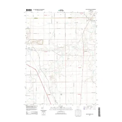
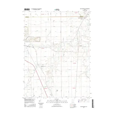
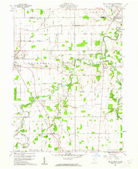 1960 Mc Cutchenville1962 Print · USGSWyandot County at the start of the 1960s shows a landscape of steady agricultural life bounded by the Old Indian Treaty Boundary. Genealogists can locate family landmarks like Knowlton Cem and Baker Cem or trace the early paths of the New York Central railroad.2 unique versions available
 - 1961 Map of Toledo
 1961 Toledo1961 Print · USGSThe western basin of Lake Erie and the industrial heart of Northern Ohio are captured here during the post-war era. Researchers can trace historical rail lines like the New York Central or locate landmarks like the Erie Ordnance Depot and Pelee Island.
 - 1962 Map of Marion
 1962 Marion1962 Print · USGSCentral Ohio during the post-war era showcases a dense network of railroad towns and emerging interstate highways. Genealogists can trace family roots in smaller settlements like Houcktown and Marseilles or locate landmarks near Indian Lake.
 - 1966 Map of Marion, 1968 Print
 1966 Marion1968 Print · USGSCentral Ohio in the mid-sixties is captured during a period of rapid highway expansion and industrial connectivity. Genealogists and historians can trace rail-and-river networks through towns like Marion, Urbana, and Mount Vernon, or locate landmarks such as Malabar Farm and Black Hand Rock.3 unique versions available
 - 1986 Map of Marion
 1986 Marion1986 Print · USGSNorthwest Ohio's agricultural and rail heartland is captured here in the mid-1980s, centered on the expansion of Marion and Kenton. Genealogists can trace family footprints near Bluffton College, old rail stops like Dola, and landmarks such as Indian Lake State Park.2 unique versions available
 - 1986 Map of Findlay
 1986 Findlay1986 Print · USGSNorthwest Ohio's industrial and agricultural heartland is documented here in the mid-1980s, centered on the major hubs of Findlay, Fostoria, and Tiffin. Researchers can trace the intersections of the BALTIMORE AND OHIO railroad and family sites near Greenlawn Cem or Sagar Ridge.2 unique versions available
 - 2010 Map of New Riegel, 2010 Print
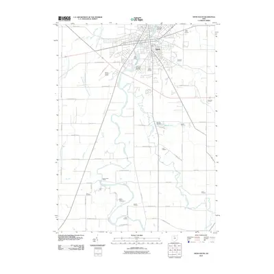
 2010 New Riegel2010 Print · USGSCovers Seneca Township, including New Riegel, Berwick, and other nearby areas
 - 2010 Map of Tiffin South, 2010 Print
 2010 Tiffin South2010 Print · USGSCovers Seneca Township, including Tiffin, Clinton Township, and other nearby areas
 - 2010 Map of Sycamore, 2010 Print
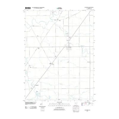 2010 Sycamore2010 Print · USGSCovers Seneca Township, including Sycamore, Tymochtee Township, and other nearby areas
 - 2010 Map of McCutchenville, 2010 Print
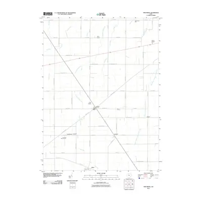
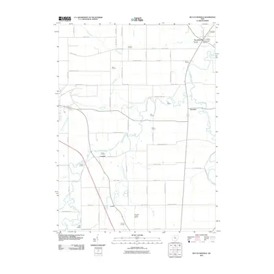 2010 McCutchenville2010 Print · USGSCovers Seneca Township, including Crawford, Carey, and other nearby areas
 - 2013 Map of Sycamore, 2013 Print
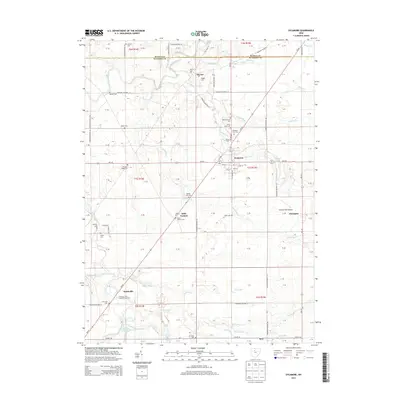 2013 Sycamore2013 Print · USGSCovers Seneca Township, including Sycamore, Tymochtee Township, and other nearby areas
 - 2013 Map of McCutchenville, 2013 Print
 2013 McCutchenville2013 Print · USGSCovers Seneca Township, including Crawford, Carey, and other nearby areas
 - 2013 Map of New Riegel, 2013 Print
 2013 New Riegel2013 Print · USGSCovers Seneca Township, including New Riegel, Berwick, and other nearby areas
 - 2013 Map of Tiffin South, 2013 Print
 2013 Tiffin South2013 Print · USGSCovers Seneca Township, including Tiffin, Clinton Township, and other nearby areas
 - 2016 Map of McCutchenville, 2016 Print
 2016 McCutchenville2016 Print · USGSCovers Seneca Township, including Crawford, Carey, and other nearby areas
Showing maps 1-25 of 36
Top cities near Seneca Township
- Tiffin historical maps
- Fostoria historical maps
- Upper Sandusky historical maps
- Crawford historical maps
- Carey historical maps
- Tymochtee historical maps
See more
Top neighborhoods of Seneca Township
Frequently asked questions
- What are the different types of historical maps available for Seneca Township?
- What is the oldest map of Seneca Township?
- Where can I purchase historical maps of Seneca Township for my home or office?
- Where can I download high-res historical maps of Seneca Township?
- Are there historical topographic maps available for Seneca Township?
- Is there historical aerial imagery available for Seneca Township?
- Where are historical maps of Seneca Township sourced from?