Old Maps of Jackson Township, Ohio
Explore 39 old maps of Jackson Township, spanning from 1901 to today. These high-resolution historic maps reveal how streets, neighborhoods, landmarks, and natural features evolved over time — perfect for genealogy, metal detecting, research, and local history exploration.
What you can do with these maps:
- See how Jackson Township changed over time: Compare historical maps to modern-day views to trace roads, homesites, rail lines & more.
- View detailed metadata: Each map includes creators, publishers, year, scale, and archive source.
- Overlay maps with satellite & LiDAR: Visualize the past alongside modern tools to explore terrain & human change.
- Trusted historical sources: Maps sourced from the USGS, Library of Congress, and other archives.
- Access maps your way: View online, download high-res files, or order prints for personal or research use.
Start exploring old maps of Jackson Township to uncover forgotten places, hidden landmarks, and the deep history beneath your feet.
Jackson Township, OH maps
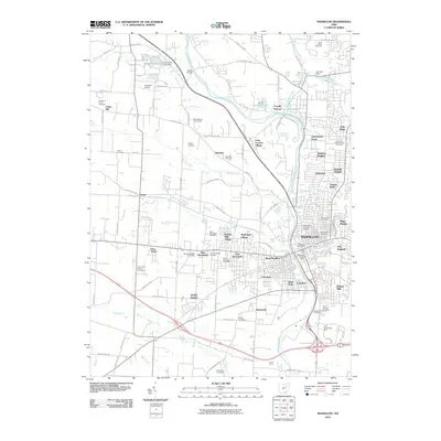
(39)- 1901 Map of Massillon, 1955 Print
 1901 Massillon1955 Print · USGSMassillon and the Tuscarawas valley thrive at the turn of the century as centers of canal transit and heavy rail industry. Local historians can trace the paths of the Ohio and Erie Canal, the massive Insane Asylum, and coal operations like the Turkeyfoot Mine.2 unique versions available
 - 1901 Map of Canton, 1958 Print
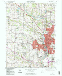
 1901 Canton1958 Print · USGSStark County at the turn of the century is a landscape of growing industrial towns and busy rail corridors. Genealogists can trace family roots in New Berlin and Louisville or locate landmarks like Westlawn Cem and the Infirmary.
 - 1903 Map of Massillon, 1934 Print
 1903 Massillon1934 Print · USGSNortheastern Ohio at the start of the century is a landscape of industrial growth and intricate canal-side settlements. Genealogists and historians can trace the early rail-and-water economy through features like the Ohio Canal, Turkeyfoot Mine, and the Insane Asylum.2 unique versions available
 - 1903 Map of Canton, 1939 Print
 1903 Canton1939 Print · USGSCanton was a flourishing rail and manufacturing center at the dawn of the century, serving as the nexus for multiple major lines. Genealogists can trace early homesteads and community centers near New Berlin, Osnaburg, and the Westlawn Cem.2 unique versions available
 - 1951 Map of Canton
 1951 Canton1951 Print · USGSThe industrial heartland of Ohio and Pennsylvania reached its mid-century peak during this era of heavy rail and river transit. Genealogists and historians can trace the development of steel towns like Aliquippa and Weirton alongside the Ohio River and major lines of the Pennsylvania RR.
 - 1953 Map of Canton
 1953 Canton1953 Print · USGSThe industrial heartland of Ohio and Pennsylvania is captured at its mid-century peak in this detailed regional survey. Genealogists and historians can trace the vast rail networks of the Pennsylvania RR and find local landmarks like Nimisila Reservoir and Tappan Reservoir.
 - 1957 Map of Canton, 1971 Print
 1957 Canton1971 Print · USGSThe industrial heartland of eastern Ohio and western Pennsylvania comes alive in this mid-century survey of the Ohio River Valley. Trace the heritage of rail and river commerce through Pittsburgh, the massive steel towns along the Ohio River, and major junctions on the Pennsylvania RR.3 unique versions available
 - 1958 Map of Canal Fulton, 1959 Print
 1958 Canal Fulton1959 Print · USGSNortheastern Ohio’s transition from a canal-era landscape to a post-war recreational and suburban hub is on display during the late fifties. Genealogists and local historians can trace family locations near Manchester, identify old rural schools like Township Sch, or locate the path of the Ohio Canal.4 unique versions available
 - 1958 Map of North Canton, 1959 Print
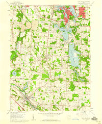
 1958 North Canton1959 Print · USGSNortheast Ohio saw significant expansion in the late fifties as suburban life developed around major transportation hubs. Genealogists and local historians can trace the footprint of Greentown and Uniontown, or locate smaller sites like Tritts Millpond and Klinefelter Cem.
 - 1958 Map of Canton West, 1960 Print
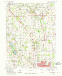
 1958 Canton West1960 Print · USGSWestern Canton and its surrounding townships show a period of rapid suburban growth and industrial strength during the late fifties. Genealogists and local historians can trace family locations near Calvary Cemetery, Sippo Lake, and dozens of neighborhood schools like Lehman High Sch.
 - 1961 Map of Massillon, 1963 Print
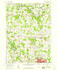
 1961 Massillon1963 Print · USGSMassillon and its surrounding Stark County townships are shown in the early sixties as industrial growth meets the quiet of the Ohio countryside. Genealogists and researchers can trace family roots at Rose Hill Memorial Park, the Old Quaker Cem, or the Massillon State Hospital grounds.4 unique versions available
 - 1962 Map of Canton
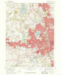
 1962 Canton1962 Print · USGSThe industrial heartland of Eastern Ohio and Western Pennsylvania thrives in the early sixties as steel mills and rail lines dominate the river valleys. Genealogists and historians can trace local landmarks like McKinley National Memorial, Malone College, and industrial sites such as Republic Steel Corp.2 unique versions available
 - 1967 Map of Canton West, 1969 Print
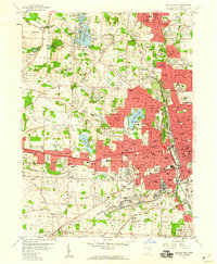
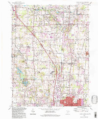
 1967 Canton West1969 Print · USGSStark County in the late sixties shows the dense urban corridor connecting Canton and Massillon. Genealogists can trace family landmarks like Calvary Cemetery and Brunnerdale Seminary, or locate the Nat Pro Football Hall of Fame.3 unique versions available
 - 1967 Map of North Canton, 1970 Print
 1967 North Canton1970 Print · USGSNorth Canton and the surrounding townships of Stark and Summit counties are shown here in the late sixties as suburban development meets rural industry. Genealogists can trace family roots through Greensburg Cem, Tritts Millpond, and local landmarks like Queen of Heaven Ch.3 unique versions available
 - 1986 Map of Canton
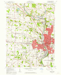
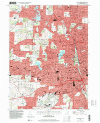
 1986 Canton1986 Print · USGSNortheastern Ohio’s industrial corridor and rural heartland are captured here in the mid-1980s as the region's rail and highway networks reached their modern form. Researchers can trace the layout of Canton and Massillon, locate family sites near West Lawn Cemetery, or explore the grounds of Malone College and Walsh College.2 unique versions available
 - 1994 Map of North Canton, 1997 Print
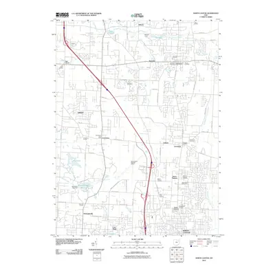
 1994 North Canton1997 Print · USGSThe crossroads of the historic Western Reserve and Congress Lands are revealed in this detailed survey of the corridor between Akron and Canton in the late twentieth century. Researchers can locate ancestral sites including Greensburg Cem, Millroy Sch, and the community of Uniontown.
 - 1994 Map of Canal Fulton, 1997 Print
 1994 Canal Fulton1997 Print · USGSStark and Summit counties meet in this 1990s survey of a historic canal and river corridor. Genealogists can trace family sites near Manchester and Canal Fulton, while collectors will find the legacy of the Ohio Canal and Penn Central rail lines.
 - 1994 Map of Massillon, 1998 Print
 1994 Massillon1998 Print · USGSMassillon and the Tuscarawas River valley are shown here in the mid-1990s as the region's industrial roots met modern suburban growth. Genealogists and local historians can trace family-named sites like Clapper Cem or locate the sprawling Massillon State Hospital.
 - 1994 Map of Canton West, 2000 Print
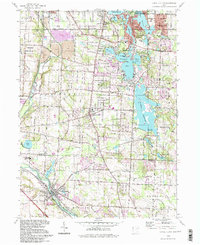
 1994 Canton West2000 Print · USGSStark County’s urban core and surrounding neighborhoods are captured here in the mid-1990s as the suburbs of North Canton and Genoa expanded. Genealogists and local historians can locate family plots in Calvary Cemetery or trace landmarks like McKinley Memorial Park and Meyers Lake.
 - 2010 Map of Canton West, 2010 Print
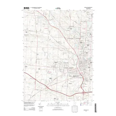
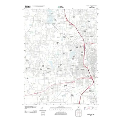 2010 Canton West2010 Print · USGSCovers Jackson Township, including Canton, Massillon, and other nearby areas
 - 2010 Map of Canal Fulton, 2010 Print
 2010 Canal Fulton2010 Print · USGSCovers Jackson Township, including Akron, Green, and other nearby areas
 - 2010 Map of Massillon, 2010 Print
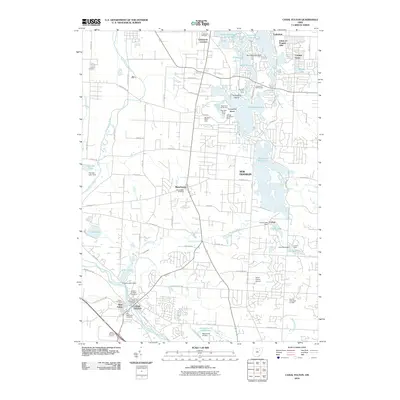
 2010 Massillon2010 Print · USGSCovers Jackson Township, including Massillon, Urban Hill, and other nearby areas
 - 2010 Map of North Canton, 2010 Print
 2010 North Canton2010 Print · USGSCovers Jackson Township, including Green, North Canton, and other nearby areas
 - 2013 Map of Massillon, 2013 Print
 2013 Massillon2013 Print · USGSCovers Jackson Township, including Massillon, Urban Hill, and other nearby areas
 - 2013 Map of North Canton, 2013 Print
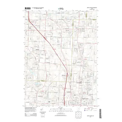 2013 North Canton2013 Print · USGSCovers Jackson Township, including Green, North Canton, and other nearby areas
Showing maps 1-25 of 39
Top cities near Jackson Township
- Akron historical maps
- Canton historical maps
- Plain historical maps
- Massillon historical maps
- Green historical maps
- Barberton historical maps
See more
Top neighborhoods of Jackson Township
- Monterey Heights historical maps
- Oak Ridge historical maps
- Amherst Heights historical maps
- Crystal Springs historical maps
- Greenwood Acres historical maps
- Kendall Heights historical maps
See more
Frequently asked questions
- What are the different types of historical maps available for Jackson Township?
- What is the oldest map of Jackson Township?
- Where can I purchase historical maps of Jackson Township for my home or office?
- Where can I download high-res historical maps of Jackson Township?
- Are there historical topographic maps available for Jackson Township?
- Is there historical aerial imagery available for Jackson Township?
- Where are historical maps of Jackson Township sourced from?