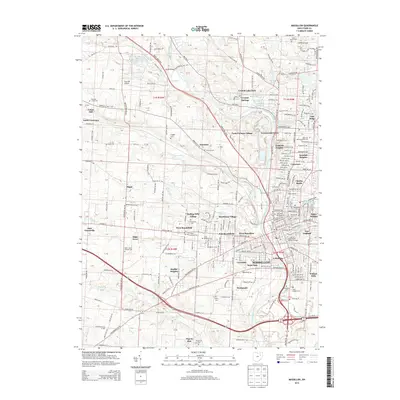
2013 Map of Massillon
USGS Topo · Published 2013About this map
The Tuscarawas River carves through the heart of Massillon in this 2013 survey, reflecting a landscape defined by industrial legacy and twentieth-century suburban expansion. The city is surrounded by a dense network of residential developments and distinct neighborhoods, including Amherst Heights, Columbia, and Lawndale. Evidence of the area's early settlement persists in its many graveyards, from the Old Quaker Cem and Old Kendal Cem near the city center to the outlying Saint Johns Sixteen Cem.
Find a feature on this map
190 named features on this map. Tap any name to fly to it.
Don’t see what you’re looking for? This feature index may not catch every label — zoom into the map to look around manually.
Map Details
Editions of this 2013 Massillon Map
This is the sole edition of this map. No revisions or reprints were ever made.
Other maps of this area

1901 · Massillon
USGS Topo · 1:62,500

1901 · Canton
USGS Topo · 1:62,500

1903 · Massillon
USGS Topo · 1:62,500

1903 · Canton
USGS Topo · 1:62,500

1912 · Dover
USGS Topo · 1:62,500

1914 · Navarre
USGS Topo · 1:62,500

1944 · Navarre
USGS Topo · 1:62,500

1944 · Dover
USGS Topo · 1:62,500

1951 · Canton
USGS Topo · 1:250,000

1951 · Bolivar
USGS Topo · 1:24,000