
Loading...
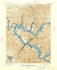
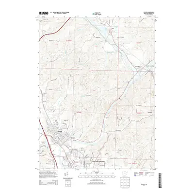
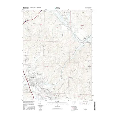
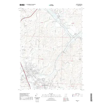
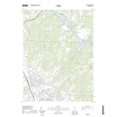
Loading map...1944 Map of Dover
USGS Topo · Published 1944About this map
The Tuscarawas River and Sandy Creek form a central corridor of industry and transport on this wartime survey of the region. This area is defined by its complex network of railroads, including the Baltimore and Ohio, Pennsylvania, and Wheeling and Lake Erie, which converge at Valley Junction. This infrastructure supported the various settlements such as Mineral City and Zoar, while also weaving through significant tracts of U S Military Land.
Find a feature on this map
81 named features on this map. Tap any name to fly to it.
Don’t see what you’re looking for? This feature index may not catch every label — zoom into the map to look around manually.
Map Details
Date Portrayed1944
Date Published1944
PublisherU.S. Geological Survey
Map TypeTopographic
Scale1:62,500
Physical Dimensions17.1 x 20.8 inches
Editions of this 1944 Dover Map
This is the sole edition of this map. No revisions or reprints were ever made.
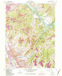
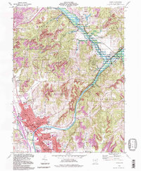
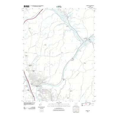
Historical Maps of Canton Through Time
9 maps found
Featured Locations
Source Details
SourceU.S. Geological Survey
CopyrightPublic Domain