Old Maps of Fairlawn, Ohio for Genealogy
Trace your family roots with 39 historic maps of Fairlawn. These high-res maps reveal old neighborhoods, homesites, landmarks, and streets — helping you uncover where your ancestors lived and how the area evolved over time.
- Explore historic neighborhoods: Identify where your relatives may have lived in the 1800s or 1900s.
- Compare maps over time: Trace the changes in streets, buildings, and landmarks for multi-generational research.
- Perfect for genealogy & ancestry research: Used by family historians and researchers to map out lineage and migration.
These maps are an incredible resource for exploring your personal connection to Fairlawn's past.
Fairlawn, OH maps
(39)- 1903 Map of Akron, 1961 Print
 1903 Akron1961 Print · USGSAkron and the surrounding Summit County townships were at a peak of rail and canal activity in the early 1900s. Trace the Ohio and Erie Canal locks, family-named crossroads like Osborn Corners, and local landmarks from Glendale Cemetery to the Boston Ledges.
 - 1905 Map of Akron
 1905 Akron1905 Print · USGSIn the first years of the twentieth century, the industrial corridor between Akron and Barberton was a hive of canal and rail activity. Trace the path of the Ohio Canal through Peninsula and locate early settlements like Ghent and Coddingville.7 unique versions available
 - 1950 Map of Cleveland
 1950 Cleveland1950 Print · USGSCovers Fairlawn, including Cleveland, Akron, and other nearby areas
 - 1953 Map of West Richfield, 1955 Print
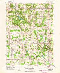 1953 West Richfield1955 Print · USGSMedina and Summit counties show a landscape of transition in the early fifties as historic rural townships began to grow. Genealogists and local historians can trace family locations near Morris Chapel, Hinckley Lake, and old burial grounds like Beach Cem.
 - 1953 Map of Peninsula, 1955 Print
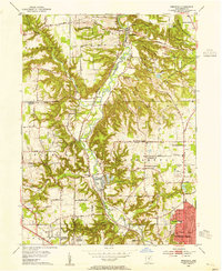 1953 Peninsula1955 Print · USGSSummit County in the early fifties showcases a river valley caught between its industrial heritage and burgeoning parklands. You can trace the historic Ohio and Erie Canal past settlements like Everett and Botzum, or locate local landmarks like East Bath Cem and Camp Manatoc.
 - 1956 Map of Cleveland, 1967 Print
 1956 Cleveland1967 Print · USGSNortheast Ohio and Western Pennsylvania are shown at their industrial height during the mid-fifties, from the steel mills to the lakeshore. Researchers can trace the massive Ravenna Arsenal, the Ohio Turnpike, and vanished rail sidings of the B & O RR.3 unique versions available
 - 1958 Map of Wadsworth, 1959 Print
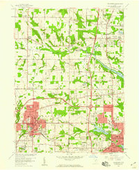 1958 Wadsworth1959 Print · USGSMedina and Summit Counties are captured here in the late fifties as residential growth begins to bridge the gaps between industrial hubs. Genealogists and local historians can trace family roots through Woodlawn Cemetery, Sharon Center, and neighborhood landmarks like Mt Zwingle Ch and Lincoln Sch.
 - 1958 Map of Akron West, 1959 Print
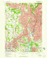 1958 Akron West1959 Print · USGSAkron and Barberton are shown at a peak of industrial and suburban growth in the late fifties. Researchers can trace historic family landmarks and transit routes like Summit Lake, Lake Anna, and the winding Ohio and Erie Canal.
 - 1962 Map of Cleveland
 1962 Cleveland1962 Print · USGSNortheast Ohio and the Pennsylvania borderlands appear here during the industrial peak of the early sixties. Genealogists and historians can trace the expansive rail lines of the Nickel Plate Road and the growth of suburbs from Parma to Lyndhurst.
 - 1963 Map of West Richfield, 1964 Print
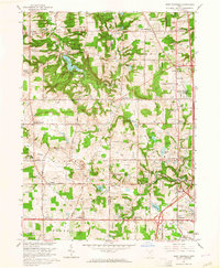 1963 West Richfield1964 Print · USGSThe Western Reserve landscape of Medina and Summit Counties was evolving quickly in the early sixties as suburban growth met rural industry. Genealogists and historians can trace family plots at Hinckley Ridge Cem or locate the site of the Cleveland Ordnance Plant.5 unique versions available
 - 1963 Map of Peninsula, 1965 Print
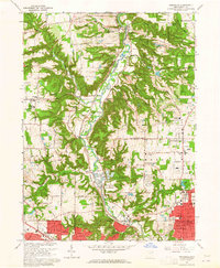 1963 Peninsula1965 Print · USGSThe Cuyahoga Valley was entering a period of suburban expansion in the early sixties while maintaining its industrial rail heritage. Traces of local history are found at Smith Chapel, Ira Cem, and the Baltimore and Ohio line through Peninsula.5 unique versions available
 - 1967 Map of Akron West, 1970 Print
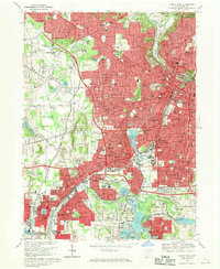 1967 Akron West1970 Print · USGSAkron and Barberton are shown in great detail during the late 1960s, a period of peak industrial and suburban development. Researchers can trace dozens of local schools and landmarks like the University of Akron Memorial Stadium, St Nicholas Ch, and Lake Anna.6 unique versions available
 - 1969 Map of Wadsworth, 1971 Print
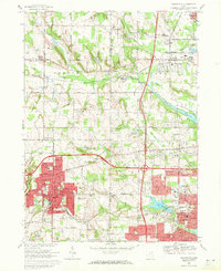 1969 Wadsworth1971 Print · USGSWestern Medina and Summit Counties are shown in the late sixties as suburban growth begins to merge old farming communities with industrial hubs. Researchers can trace the development of Wadsworth and Norton, locating vanished landmarks like the Drive-In Theater or long-standing sites like Sharon Center.2 unique versions available
 - 1986 Map of Cleveland South
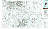 1986 Cleveland South1986 Print · USGSNortheast Ohio in the mid-eighties shows the expanding reach of the Akron and Cleveland suburbs into the surrounding countryside. Trace the industrial rail networks of the Erie Lackawanna RR or find local landmarks like Kent State University and the Ravenna Arsenal.
 - 1994 Map of Cleveland South
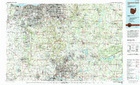 1994 Cleveland South1994 Print · USGSThe metropolitan corridor between Akron and Cleveland is shown here in the mid-nineties during a period of significant suburban growth. Researchers can trace the path of the Ohio Turnpike or explore expansive recreation lands like West Branch State Park.
 - 1994 Map of Wadsworth, 1997 Print
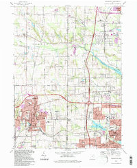 1994 Wadsworth1997 Print · USGSMedina and Summit counties show a complex transition from rural township life to suburban industrial hubs during the mid-nineties. Researchers can locate family landmarks like Woodlawn Cemetery, the historic Sharon Center Ch, and the old settlement of Western Star.
 - 1994 Map of Akron West, 1997 Print
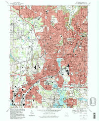 1994 Akron West1997 Print · USGSGreater Akron and Barberton are shown in the mid-1990s as the urban landscape continues to evolve around its historic water and rail corridors. Trace your local history through landmarks like Summit Lake, the Rubber Bowl, and Holy Cross Cem.
 - 1994 Map of West Richfield, 1997 Print
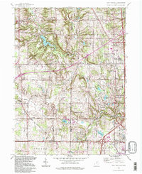 1994 West Richfield1997 Print · USGSMedina and Summit counties are captured during a period of suburban expansion and parkland preservation in the mid-1990s. Researchers can locate long-standing landmarks like Beach Cem, the Township School, and the grounds of the Hinckley Reservation.
 - 1994 Map of Peninsula, 1997 Print
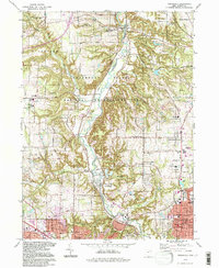 1994 Peninsula1997 Print · USGSIn the mid-nineties, the Cuyahoga Valley remained a preserved corridor of natural terrain between the growing industrial hubs of Akron and Cleveland. Researchers can trace historic cemeteries like Ira Cem, the route of the Ohio Canal, and landmarks like Ritchie Ledges.
 - 2010 Map of Wadsworth, 2010 Print
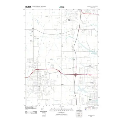 2010 Wadsworth2010 Print · USGSWadsworth and Norton appear in the early 21st century as growing hubs between rural Medina and Summit counties. Genealogists can trace family history through several local burial grounds like Woodlawn Cemetery and Mount Zwingli Cemetery or locate the Sharon Center Post Office.
 - 2010 Map of West Richfield, 2010 Print
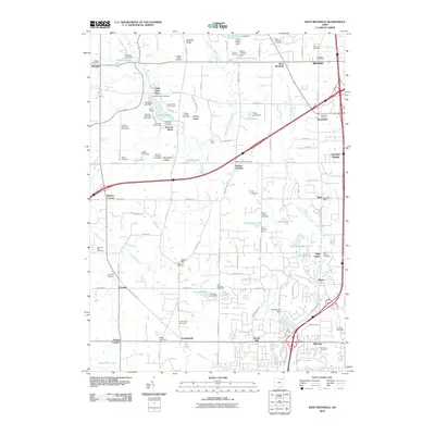 2010 West Richfield2010 Print · USGSThe borderlands of Medina and Summit Counties are captured here in 2010, showing the expansion of settlements from Ghent to Hinckley. Researchers can locate historic family burial grounds like Wheatley Cemetery and trace landmarks such as Worden Heritage Homestead and Buzzard Roost.
 - 2010 Map of Peninsula, 2010 Print
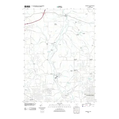 2010 Peninsula2010 Print · USGSThe Cuyahoga River valley in the early twenty-first century remains a corridor of deep history and community roots. Genealogists and researchers can trace family lines through several burial grounds like East Bath Cemetery or locate historic transit points like the Furnace Run Aqueduct.
 - 2010 Map of Akron West, 2010 Print
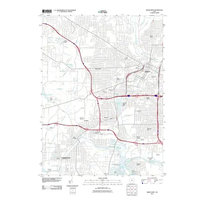 2010 Akron West2010 Print · USGSAkron and Barberton appear at the start of the millennium as deeply established industrial and residential centers. Genealogists and local historians can trace neighborhood growth and burial sites like Akron Hebrew Cemetery or Lakewood Cemetery alongside the Portage Lakes water system.
 - 2013 Map of West Richfield, 2013 Print
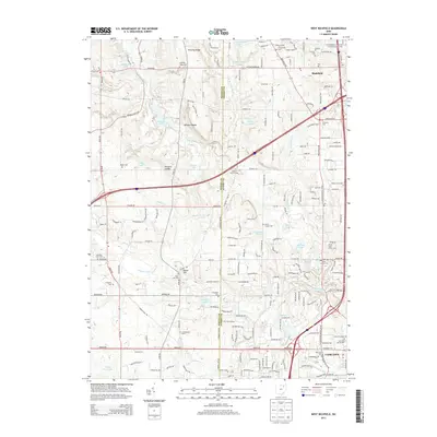 2013 West Richfield2013 Print · USGSThe Medina and Summit county line divides this landscape of glacial lakes and ledge formations in the early 2010s. Researchers can locate many local landmarks, including the Morris Chapel Cem, Whipps Ledges, and the Hamrick Sch.
 - 2013 Map of Akron West, 2013 Print
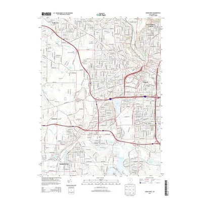 2013 Akron West2013 Print · USGSAkron and its western suburbs of Fairlawn and Barberton are shown in the early 2000s, where urban density meets the glacial lakes of the Portage Lakes system. Genealogists and researchers can trace local landmarks like Glendale Cem, Lake Anna, and the Univ of Akron Main Campus.
Showing maps 1-25 of 39
Top cities near Fairlawn
- Akron historical maps
- Parma historical maps
- Cuyahoga Falls historical maps
- Strongsville historical maps
- Brunswick historical maps
- Stow historical maps
See more
Frequently asked questions
- What are the different types of historical maps available for Fairlawn?
- What is the oldest map of Fairlawn?
- Where can I purchase historical maps of Fairlawn for my home or office?
- Where can I download high-res historical maps of Fairlawn?
- Are there historical topographic maps available for Fairlawn?
- Is there historical aerial imagery available for Fairlawn?
- Where are historical maps of Fairlawn sourced from?