2020s Maps of Millheim, Springfield Township
Explore 1 historic maps of Millheim from the 2020s. These maps offer a rare glimpse into what life looked like during the 2020s — showing old roads, neighborhoods, homes, and landmarks that have changed or disappeared over time.
Whether you're researching your family's past, planning a metal detecting trip, or studying how Millheim's landscape evolved across the 2020s, these high-resolution maps are a powerful tool for exploring the history of this region.
- Focus on a specific era: All maps on this page are from the 2020s, giving you a focused view of this time period.
- See what’s changed: Compare century-old streets, trails, and buildings to today's modern landscape using overlays and satellite layers.
- Research with precision: Use these maps for genealogy, historical research, land use analysis, or educational projects.
- View, download, or print: Maps are fully viewable online in high resolution, and can be downloaded or printed for your own records.
Start exploring Millheim's history through authentic maps from the 2020s. This is your window into the past.
Millheim, Springfield Township maps
(1)- 2023 Map of North Canton, 2023 Print
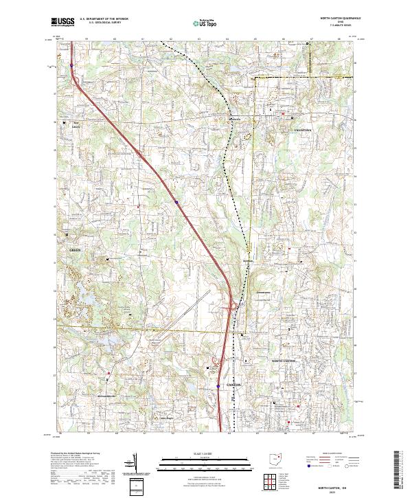 2023 North Canton2023 Print · USGSNortheast Ohio's suburban corridor and rural remnants meet at the Stark-Summit line in the early twenty-first century. Genealogists can locate family sites at the Jonathan Grable Burying Ground, Greentown Cem, or Woods Cem.
End of results
Showing maps 1-1 of 1
Top cities near Millheim
- Akron historical maps
- Canton historical maps
- Plain historical maps
- Cuyahoga Falls historical maps
- Stow historical maps
- Massillon historical maps
See more
Frequently asked questions
- What are the different types of historical maps available for Millheim?
- What is the oldest map of Millheim?
- Where can I purchase historical maps of Millheim for my home or office?
- Where can I download high-res historical maps of Millheim?
- Are there historical topographic maps available for Millheim?
- Is there historical aerial imagery available for Millheim?
- Where are historical maps of Millheim sourced from?