2000s (21st Century) Maps of Bazetta Township, Ohio
Explore 10 historic maps of Bazetta Township from the 2000s (21st Century). These maps offer a rare glimpse into what life looked like during the 2000s — showing old roads, neighborhoods, homes, and landmarks that have changed or disappeared over time.
Whether you're researching your family's past, planning a metal detecting trip, or studying how Bazetta Township's landscape evolved across the 2000s, these high-resolution maps are a powerful tool for exploring the history of this region.
- Focus on a specific era: All maps on this page are from the 2000s, giving you a focused view of this time period.
- See what’s changed: Compare century-old streets, trails, and buildings to today's modern landscape using overlays and satellite layers.
- Research with precision: Use these maps for genealogy, historical research, land use analysis, or educational projects.
- View, download, or print: Maps are fully viewable online in high resolution, and can be downloaded or printed for your own records.
Start exploring Bazetta Township's history through authentic maps from the 2000s. This is your window into the past.
Bazetta Township, OH maps
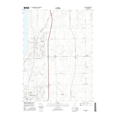
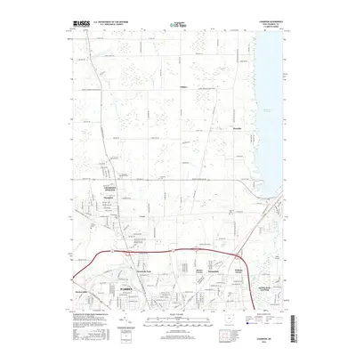
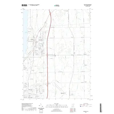
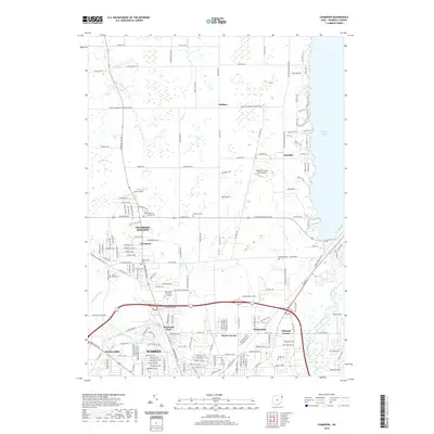
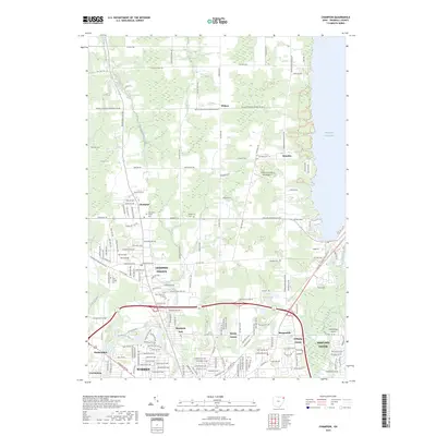
(10)- 2010 Map of Champion, 2010 Print
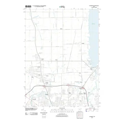 2010 Champion2010 Print · USGSCovers Bazetta Township, including Warren, Howland Township, and other nearby areas
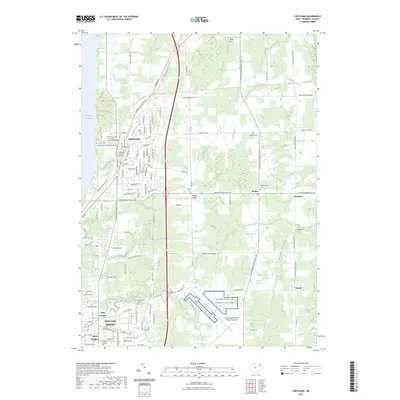
 - 2010 Map of Cortland, 2010 Print
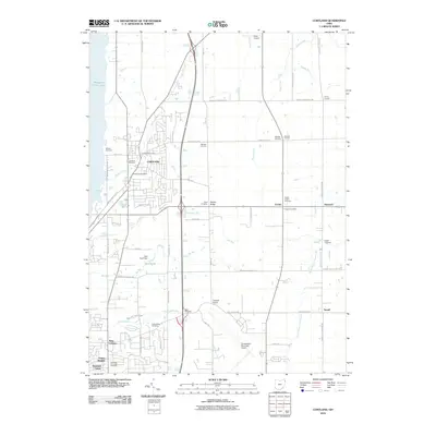 2010 Cortland2010 Print · USGSCovers Bazetta Township, including Howland Township, Cortland, and other nearby areas
 - 2013 Map of Champion, 2013 Print
 2013 Champion2013 Print · USGSCovers Bazetta Township, including Warren, Howland Township, and other nearby areas
 - 2013 Map of Cortland, 2013 Print
 2013 Cortland2013 Print · USGSCovers Bazetta Township, including Howland Township, Cortland, and other nearby areas
 - 2016 Map of Cortland, 2016 Print
 2016 Cortland2016 Print · USGSCovers Bazetta Township, including Howland Township, Cortland, and other nearby areas
 - 2016 Map of Champion, 2016 Print
 2016 Champion2016 Print · USGSCovers Bazetta Township, including Warren, Howland Township, and other nearby areas
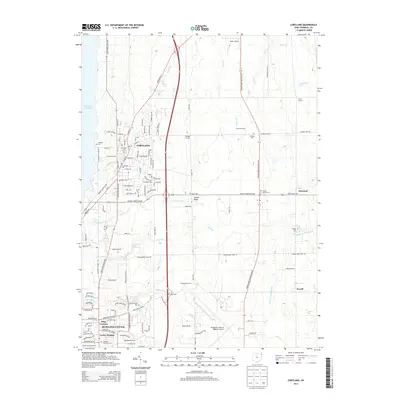
 - 2019 Map of Cortland, 2019 Print
 2019 Cortland2019 Print · USGSCovers Bazetta Township, including Howland Township, Cortland, and other nearby areas
 - 2019 Map of Champion, 2019 Print
 2019 Champion2019 Print · USGSCovers Bazetta Township, including Warren, Howland Township, and other nearby areas
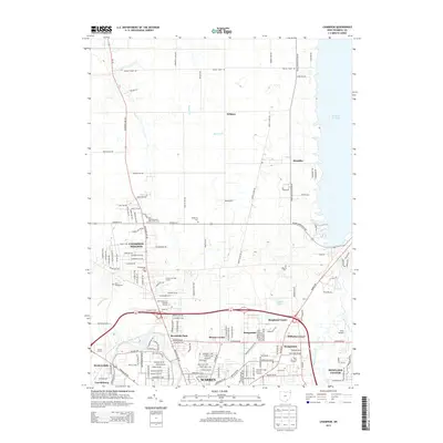
 - 2023 Map of Champion, 2023 Print
 2023 Champion2023 Print · USGSNorthern Trumbull County comes into focus in this contemporary survey of the Warren suburbs and the Mosquito Creek Lake shoreline. Genealogists can locate family sites at Mcmurray Cem, Bazetta Cem, and the historic Saint Joseph Cem.
 - 2023 Map of Cortland, 2023 Print
 2023 Cortland2023 Print · USGSTrumbull County, Ohio, maintains its mix of classic small-town centers and strategic infrastructure in this contemporary survey. Genealogists can trace local roots at Casterline Cem or Sheldon Cem, while aviation enthusiasts can locate the Youngstown Air Reserve Station.
End of results
Showing maps 1-10 of 10
Top cities near Bazetta Township
- Youngstown historical maps
- Warren historical maps
- Austintown historical maps
- Weathersfield Township historical maps
- Howland Township historical maps
- Niles historical maps
See more
Top neighborhoods of Bazetta Township
Frequently asked questions
- What are the different types of historical maps available for Bazetta Township?
- What is the oldest map of Bazetta Township?
- Where can I purchase historical maps of Bazetta Township for my home or office?
- Where can I download high-res historical maps of Bazetta Township?
- Are there historical topographic maps available for Bazetta Township?
- Is there historical aerial imagery available for Bazetta Township?
- Where are historical maps of Bazetta Township sourced from?