Old Maps of Johnston Township, Ohio for Academic Research
Study the evolution of Johnston Township with 33 high-resolution historic maps. Whether you're teaching, researching, or modeling changes in land use, these maps provide essential visual documentation of urban, environmental, and geographic change.
- Analyze long-term change: Track patterns in development, transportation, and natural features.
- Ideal for environmental or urban studies: Support academic projects with primary historical map data.
- Use in the classroom or lab: Educators and researchers rely on these maps to bring historical context to life.
These maps are a powerful tool for teaching, research, and visualizing how Johnston Township has changed over the decades.
Johnston Township, OH maps
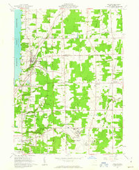
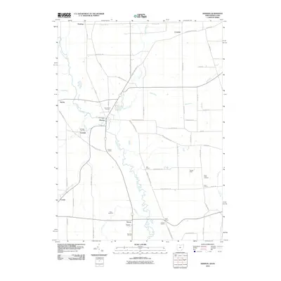
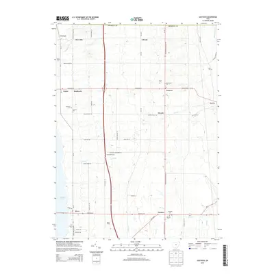
(33)- 1907 Map of Kinsman, 1940 Print
 1907 Kinsman1940 Print · USGSEastern Trumbull County thrived at the start of the century as a vital crossroads of Ohio and Pennsylvania rail lines. Local historians can trace the foundations of Kinsman, Orangeville, and the remote State Line Church during the height of the steam rail era.2 unique versions available
 - 1950 Map of Cleveland
 1950 Cleveland1950 Print · USGSCovers Johnston Township, including Cleveland, Akron, and other nearby areas
 - 1956 Map of Cleveland, 1967 Print
 1956 Cleveland1967 Print · USGSNortheast Ohio and Western Pennsylvania are shown at their industrial height during the mid-fifties, from the steel mills to the lakeshore. Researchers can trace the massive Ravenna Arsenal, the Ohio Turnpike, and vanished rail sidings of the B & O RR.3 unique versions available
 - 1961 Map of Cortland, 1963 Print
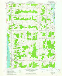
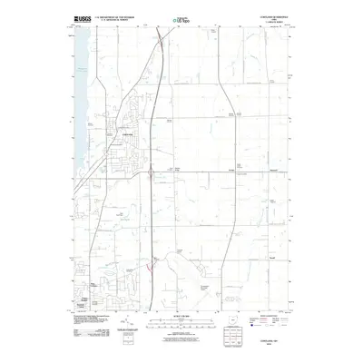
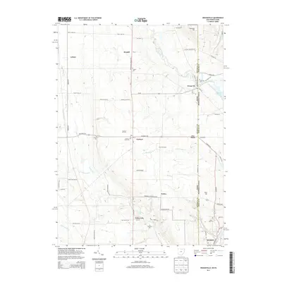
 1961 Cortland1963 Print · USGSTrumbull County is captured here in the early sixties as the suburbs and transportation networks of the post-war era began to expand. Genealogists can trace family names at Hillside Cem and Chadwick Corners or locate the old Nutwood (Fowler Sta) along the rails.3 unique versions available
 - 1961 Map of Gustavus, 1963 Print
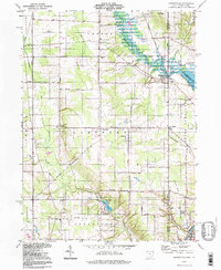
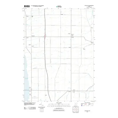
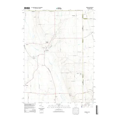
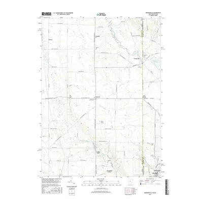
 1961 Gustavus1963 Print · USGSTrumbull County townships appear here in the early sixties as a structured landscape of family farms and historic crossroads. Genealogists can locate family plots at Old Gustavus Cem and Southside Cem or trace vanished rail stops along the New York Central.3 unique versions available
 - 1961 Map of Orangeville, 1963 Print
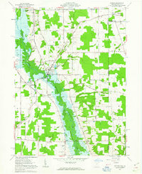
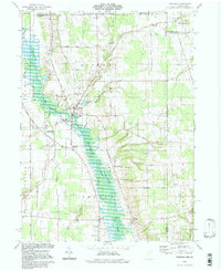
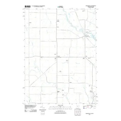
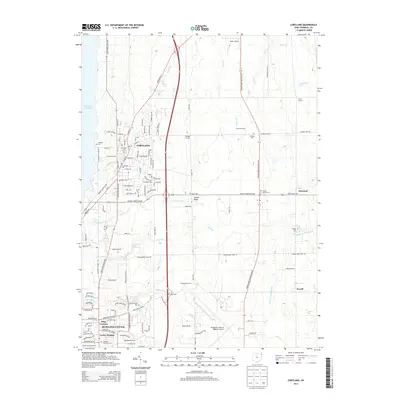
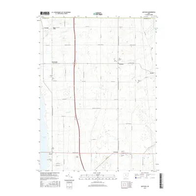
 1961 Orangeville1963 Print · USGSThe Trumbull County borderlands and the village of Orangeville appear here in the early sixties as the Shenango River Reservoir began to reshape the valley. Genealogists and local historians can trace family locations near Artherholt Cem, the Sharon Speedway, and the Erie-Lackawanna rail lines.4 unique versions available
 - 1961 Map of Kinsman, 1963 Print
 1961 Kinsman1963 Print · USGSIn the early sixties, the Trumbull County borderlands were defined by the growing Shenango River Reservoir and a network of traditional farming crossroads. Genealogists can trace family names and local landmarks like Farmdale (Kinsman Sta), Badger High Sch, and Rocky Ridge Cem.3 unique versions available
 - 1962 Map of Cleveland
 1962 Cleveland1962 Print · USGSNortheast Ohio and the Pennsylvania borderlands appear here during the industrial peak of the early sixties. Genealogists and historians can trace the expansive rail lines of the Nickel Plate Road and the growth of suburbs from Parma to Lyndhurst.
 - 1986 Map of Youngstown, 1988 Print
 1986 Youngstown1988 Print · USGSThe industrial corridor of the Mahoning Valley and the collegiate towns of Western Pennsylvania are captured here in the mid-eighties. Researchers can trace the rail lines of the Conrail network or locate historical sites like Churchill and Crown Hill Cem.2 unique versions available
 - 1994 Map of Kinsman, 1997 Print
 1994 Kinsman1997 Print · USGSTrumbull County and the Pennsylvania border are captured in the late twentieth century, showing a landscape of fertile creek valleys and quiet crossroads. Trace family history at Gibson Cem, find the site of Farmdale (Kinsman Sta), or explore the Pymatuning State Wildlife Area.
 - 1994 Map of Gustavus, 1997 Print
 1994 Gustavus1997 Print · USGSNorthwestern Trumbull County remained a landscape of quiet crossroads and conservation in the late twentieth century. Genealogists can locate several family burial sites including Old Gustavus Cem and Greenlawn Cem, while tracing old hamlets like Kenilworth and Irishtown.
 - 1994 Map of Orangeville, 1997 Print
 1994 Orangeville1997 Print · USGSThe Ohio-Pennsylvania state line near Orangeville is captured here in the mid-1990s, showcasing a rural landscape of creek valleys and small settlements. Researchers can trace family sites like St Marys Cemetery and local landmarks like the Sharon Speedway.
 - 1994 Map of Cortland, 1997 Print
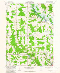
 1994 Cortland1997 Print · USGSTrumbull County in the mid-nineties shows a mix of growing residential hubs and traditional Ohio crossroads. Genealogists can trace family landmarks across Sheldon Corners and several historic burial sites, including Casterline Cem and Sheldon Cem.
 - 2010 Map of Kinsman, 2010 Print
 2010 Kinsman2010 Print · USGSCovers Johnston Township, including Kinsman Township, Kinsman, and other nearby areas
 - 2010 Map of Cortland, 2010 Print
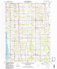
 2010 Cortland2010 Print · USGSCovers Johnston Township, including Howland Township, Cortland, and other nearby areas
 - 2010 Map of Gustavus, 2010 Print
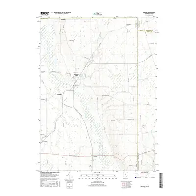
 2010 Gustavus2010 Print · USGSCovers Johnston Township, including Mecca Township, Mecca, and other nearby areas
 - 2010 Map of Orangeville, 2010 Print
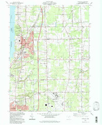
 2010 Orangeville2010 Print · USGSCovers Johnston Township, including Hermitage, Sharon, and other nearby areas
 - 2013 Map of Gustavus, 2013 Print
 2013 Gustavus2013 Print · USGSCovers Johnston Township, including Mecca Township, Mecca, and other nearby areas
 - 2013 Map of Orangeville, 2013 Print
 2013 Orangeville2013 Print · USGSCovers Johnston Township, including Hermitage, Sharon, and other nearby areas
 - 2013 Map of Kinsman, 2013 Print
 2013 Kinsman2013 Print · USGSCovers Johnston Township, including Kinsman Township, Kinsman, and other nearby areas
 - 2013 Map of Cortland, 2013 Print
 2013 Cortland2013 Print · USGSCovers Johnston Township, including Howland Township, Cortland, and other nearby areas
 - 2016 Map of Cortland, 2016 Print
 2016 Cortland2016 Print · USGSCovers Johnston Township, including Howland Township, Cortland, and other nearby areas
 - 2016 Map of Kinsman, 2016 Print
 2016 Kinsman2016 Print · USGSCovers Johnston Township, including Kinsman Township, Kinsman, and other nearby areas
 - 2016 Map of Gustavus, 2016 Print
 2016 Gustavus2016 Print · USGSCovers Johnston Township, including Mecca Township, Mecca, and other nearby areas
 - 2016 Map of Orangeville, 2016 Print
 2016 Orangeville2016 Print · USGSCovers Johnston Township, including Hermitage, Sharon, and other nearby areas
Showing maps 1-25 of 33
Top cities near Johnston Township
- Warren historical maps
- Weathersfield Township historical maps
- Howland Township historical maps
- Niles historical maps
- Hermitage historical maps
- Sharon historical maps
See more
Top neighborhoods of Johnston Township
Frequently asked questions
- What are the different types of historical maps available for Johnston Township?
- What is the oldest map of Johnston Township?
- Where can I purchase historical maps of Johnston Township for my home or office?
- Where can I download high-res historical maps of Johnston Township?
- Are there historical topographic maps available for Johnston Township?
- Is there historical aerial imagery available for Johnston Township?
- Where are historical maps of Johnston Township sourced from?