Old Maps of Mecca Township, Ohio for Hiking & Exploration
Hike through history with 35 historic maps of Mecca Township. Explore old trails, ghost towns, and forgotten backroads — perfect for outdoor adventurers and local explorers.
- Rediscover forgotten places: Map out old mining camps, roads, and footpaths that no longer exist on modern maps.
- Layer with modern tools: Combine with LiDAR or satellite views to plan hikes through historical terrain.
- Made for exploration: Popular among hikers, overlanders, and local history lovers.
Use these maps to find adventure and explore the hidden past of Mecca Township.
Mecca Township, OH maps
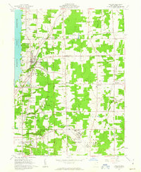
(35)- 1905 Map of Bristolville, 1956 Print
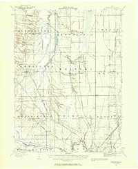 1905 Bristolville1956 Print · USGSTrumbull County at the start of the century was a landscape of thriving rail-connected hamlets and winding river valleys. Genealogists can trace family footprints through historic townships to settlements like Delightful, West Farmington, and the old county Infirmary.
 - 1907 Map of Kinsman, 1940 Print
 1907 Kinsman1940 Print · USGSEastern Trumbull County thrived at the start of the century as a vital crossroads of Ohio and Pennsylvania rail lines. Local historians can trace the foundations of Kinsman, Orangeville, and the remote State Line Church during the height of the steam rail era.2 unique versions available
 - 1907 Map of Bristolville, 1943 Print
 1907 Bristolville1943 Print · USGSTrumbull County at the turn of the century shows a landscape defined by the Grand River and an expanding rail network. Genealogists can trace family roots through historic townships and small stops like West Farmington, Mesopotamia, and the Infirmary south of Oakfield.
 - 1950 Map of Cleveland
 1950 Cleveland1950 Print · USGSCovers Mecca Township, including Cleveland, Akron, and other nearby areas
 - 1956 Map of Cleveland, 1967 Print
 1956 Cleveland1967 Print · USGSNortheast Ohio and Western Pennsylvania are shown at their industrial height during the mid-fifties, from the steel mills to the lakeshore. Researchers can trace the massive Ravenna Arsenal, the Ohio Turnpike, and vanished rail sidings of the B & O RR.3 unique versions available
 - 1960 Map of Bristolville, 1962 Print
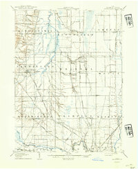
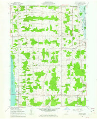
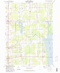
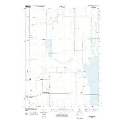
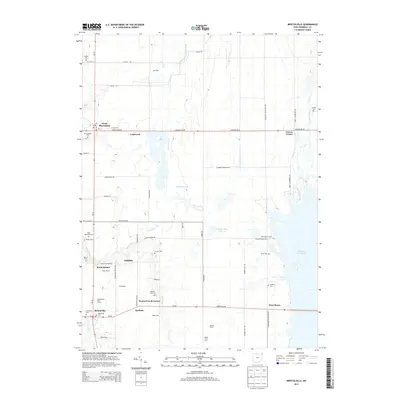
 1960 Bristolville1962 Print · USGSTrumbull County in the early sixties shows a landscape of rural townships and the rising Mosquito Creek Reservoir. Genealogists can trace family names through the Sager Memorial Cemetery and the vanished post office at Spokane.4 unique versions available
 - 1960 Map of Champion Heights, 1962 Print
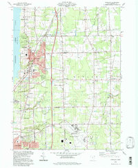
 1960 Champion Heights1962 Print · USGSThe industrial Mahoning Valley meets the rural expanses of Trumbull County in the early sixties. Researchers can trace the Baltimore and Ohio rail lines and locate family landmarks like McMurry Cem or the County Infirmary Farm.5 unique versions available
 - 1961 Map of Cortland, 1963 Print
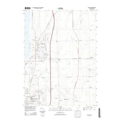
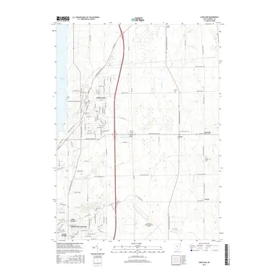
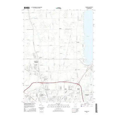
 1961 Cortland1963 Print · USGSTrumbull County is captured here in the early sixties as the suburbs and transportation networks of the post-war era began to expand. Genealogists can trace family names at Hillside Cem and Chadwick Corners or locate the old Nutwood (Fowler Sta) along the rails.3 unique versions available
 - 1961 Map of Gustavus, 1963 Print
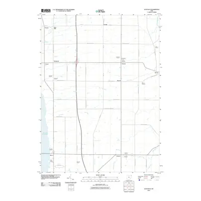
 1961 Gustavus1963 Print · USGSTrumbull County townships appear here in the early sixties as a structured landscape of family farms and historic crossroads. Genealogists can locate family plots at Old Gustavus Cem and Southside Cem or trace vanished rail stops along the New York Central.3 unique versions available
 - 1962 Map of Cleveland
 1962 Cleveland1962 Print · USGSNortheast Ohio and the Pennsylvania borderlands appear here during the industrial peak of the early sixties. Genealogists and historians can trace the expansive rail lines of the Nickel Plate Road and the growth of suburbs from Parma to Lyndhurst.
 - 1986 Map of Youngstown, 1988 Print
 1986 Youngstown1988 Print · USGSThe industrial corridor of the Mahoning Valley and the collegiate towns of Western Pennsylvania are captured here in the mid-eighties. Researchers can trace the rail lines of the Conrail network or locate historical sites like Churchill and Crown Hill Cem.2 unique versions available
 - 1994 Map of Gustavus, 1997 Print
 1994 Gustavus1997 Print · USGSNorthwestern Trumbull County remained a landscape of quiet crossroads and conservation in the late twentieth century. Genealogists can locate several family burial sites including Old Gustavus Cem and Greenlawn Cem, while tracing old hamlets like Kenilworth and Irishtown.
 - 1994 Map of Champion, 1997 Print
 1994 Champion1997 Print · USGSTrumbull County in the late twentieth century shows the intersection of the industrial Warren outskirts with the rural townships of the Western Reserve. Researchers can locate family sites and local landmarks like Hoagland Corner, the McMurray Cem, and Wildare.
 - 1994 Map of Cortland, 1997 Print
 1994 Cortland1997 Print · USGSTrumbull County in the mid-nineties shows a mix of growing residential hubs and traditional Ohio crossroads. Genealogists can trace family landmarks across Sheldon Corners and several historic burial sites, including Casterline Cem and Sheldon Cem.
 - 1994 Map of Bristolville, 1997 Print
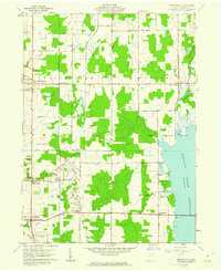
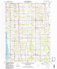
 1994 Bristolville1997 Print · USGSTrumbull County comes into focus in the mid-1990s as the Mosquito Creek Reservoir meets the grid of the Connecticut Western Reserve. Researchers can locate numerous family burial sites like Sager Memorial Cemetery and Deacon Cem, alongside old settlements like Bristolville and Spokane.
 - 2010 Map of Champion, 2010 Print
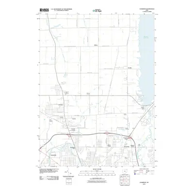 2010 Champion2010 Print · USGSCovers Mecca Township, including Warren, Howland Township, and other nearby areas
 - 2010 Map of Cortland, 2010 Print
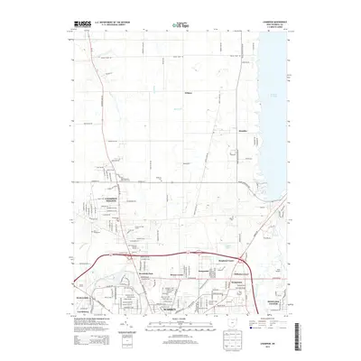
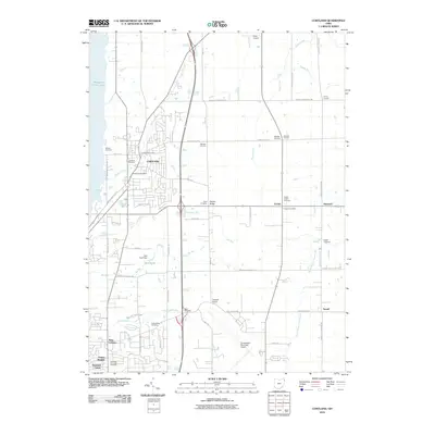 2010 Cortland2010 Print · USGSCovers Mecca Township, including Howland Township, Cortland, and other nearby areas
 - 2010 Map of Gustavus, 2010 Print
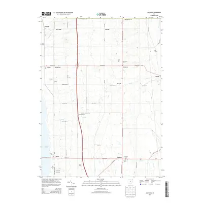
 2010 Gustavus2010 Print · USGSCovers Mecca Township, including Mecca, Johnston Township, and other nearby areas
 - 2010 Map of Bristolville, 2010 Print
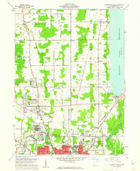
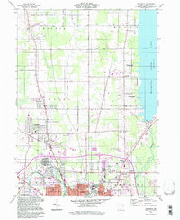
 2010 Bristolville2010 Print · USGSCovers Mecca Township, including Bristol, Bloomfield, and other nearby areas
 - 2013 Map of Gustavus, 2013 Print
 2013 Gustavus2013 Print · USGSCovers Mecca Township, including Mecca, Johnston Township, and other nearby areas
 - 2013 Map of Champion, 2013 Print
 2013 Champion2013 Print · USGSCovers Mecca Township, including Warren, Howland Township, and other nearby areas
 - 2013 Map of Cortland, 2013 Print
 2013 Cortland2013 Print · USGSCovers Mecca Township, including Howland Township, Cortland, and other nearby areas
 - 2013 Map of Bristolville, 2013 Print
 2013 Bristolville2013 Print · USGSCovers Mecca Township, including Bristol, Bloomfield, and other nearby areas
 - 2016 Map of Cortland, 2016 Print
 2016 Cortland2016 Print · USGSCovers Mecca Township, including Howland Township, Cortland, and other nearby areas
 - 2016 Map of Champion, 2016 Print
 2016 Champion2016 Print · USGSCovers Mecca Township, including Warren, Howland Township, and other nearby areas
Showing maps 1-25 of 35
Top cities near Mecca Township
- Warren historical maps
- Weathersfield Township historical maps
- Howland Township historical maps
- Niles historical maps
- Girard historical maps
- Champion historical maps
See more
Top neighborhoods of Mecca Township
Frequently asked questions
- What are the different types of historical maps available for Mecca Township?
- What is the oldest map of Mecca Township?
- Where can I purchase historical maps of Mecca Township for my home or office?
- Where can I download high-res historical maps of Mecca Township?
- Are there historical topographic maps available for Mecca Township?
- Is there historical aerial imagery available for Mecca Township?
- Where are historical maps of Mecca Township sourced from?