Old Maps of Stillwater, Ohio for Academic Research
Study the evolution of Stillwater with 14 high-resolution historic maps. Whether you're teaching, researching, or modeling changes in land use, these maps provide essential visual documentation of urban, environmental, and geographic change.
- Analyze long-term change: Track patterns in development, transportation, and natural features.
- Ideal for environmental or urban studies: Support academic projects with primary historical map data.
- Use in the classroom or lab: Educators and researchers rely on these maps to bring historical context to life.
These maps are a powerful tool for teaching, research, and visualizing how Stillwater has changed over the decades.
Stillwater, OH maps
(14)- 1909 Map of Uhrichsville, 1956 Print
 1909 Uhrichsville1956 Print · USGSThe industrial valleys of Tuscarawas and Harrison Counties come alive in this early twentieth-century survey. Genealogists can trace family roots at Gnadenhutten, Goshen Beidler PO, and dozens of rural sites like Kennedy Church and Latto School.
 - 1911 Map of Uhrichsville, 1937 Print
 1911 Uhrichsville1937 Print · USGSTuscarawas County's industrial river valleys and canal routes are shown here at their height before the mid-century decline of rail. Researchers can trace the path of the Ohio and Erie Canal and locate family-named landmarks like Beidler P O, Wesley Church, and Gnadenhutten.
 - 1951 Map of Canton
 1951 Canton1951 Print · USGSThe industrial heartland of Ohio and Pennsylvania reached its mid-century peak during this era of heavy rail and river transit. Genealogists and historians can trace the development of steel towns like Aliquippa and Weirton alongside the Ohio River and major lines of the Pennsylvania RR.
 - 1953 Map of Canton
 1953 Canton1953 Print · USGSThe industrial heartland of Ohio and Pennsylvania is captured at its mid-century peak in this detailed regional survey. Genealogists and historians can trace the vast rail networks of the Pennsylvania RR and find local landmarks like Nimisila Reservoir and Tappan Reservoir.
 - 1957 Map of Canton, 1971 Print
 1957 Canton1971 Print · USGSThe industrial heartland of eastern Ohio and western Pennsylvania comes alive in this mid-century survey of the Ohio River Valley. Trace the heritage of rail and river commerce through Pittsburgh, the massive steel towns along the Ohio River, and major junctions on the Pennsylvania RR.3 unique versions available
 - 1961 Map of Tippecanoe, 1963 Print
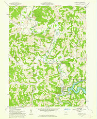 1961 Tippecanoe1963 Print · USGSHarrison County in the early sixties centers on the industrial and agricultural rhythm of the Stillwater Creek valley. Trace your family roots at Feed Springs Cem, locate the old kilns near Newport, or follow the Baltimore and Ohio rail line.3 unique versions available
 - 1962 Map of Canton
 1962 Canton1962 Print · USGSThe industrial heartland of Eastern Ohio and Western Pennsylvania thrives in the early sixties as steel mills and rail lines dominate the river valleys. Genealogists and historians can trace local landmarks like McKinley National Memorial, Malone College, and industrial sites such as Republic Steel Corp.2 unique versions available
 - 1993 Map of Tippecanoe
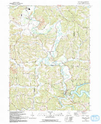 1993 Tippecanoe1993 Print · USGSHarrison and Tuscarawas counties appear in the early nineties as a landscape of winding creek valleys and coal-country history. Researchers can trace family sites like Mays School and Rush Cem or follow the path of an old railroad grade through Stillwater.
 - 1994 Map of Tippecanoe, 1998 Print
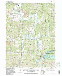 1994 Tippecanoe1998 Print · USGSThe borderlands of Tuscarawas and Harrison Counties come into focus in the 1990s as a landscape of managed watersheds and coal heritage. Trace old family connections at Dutch Valley Cem, Rush Church, or along the Old Railroad Grade.
 - 2010 Map of Tippecanoe, 2010 Print
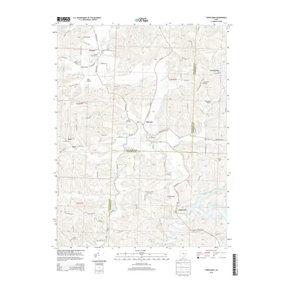
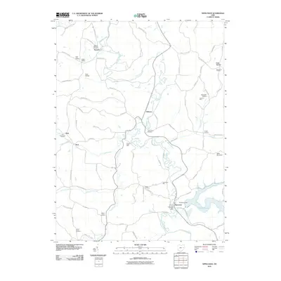 2010 Tippecanoe2010 Print · USGSCovers Stillwater, including Rush, Newport, and other nearby areas
 - 2013 Map of Tippecanoe, 2013 Print
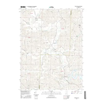
 2013 Tippecanoe2013 Print · USGSCovers Stillwater, including Rush, Newport, and other nearby areas
 - 2016 Map of Tippecanoe, 2016 Print
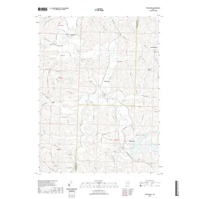
 2016 Tippecanoe2016 Print · USGSCovers Stillwater, including Rush, Newport, and other nearby areas
 - 2019 Map of Tippecanoe, 2019 Print
 2019 Tippecanoe2019 Print · USGSCovers Stillwater, including Rush, Newport, and other nearby areas
 - 2023 Map of Tippecanoe, 2023 Print
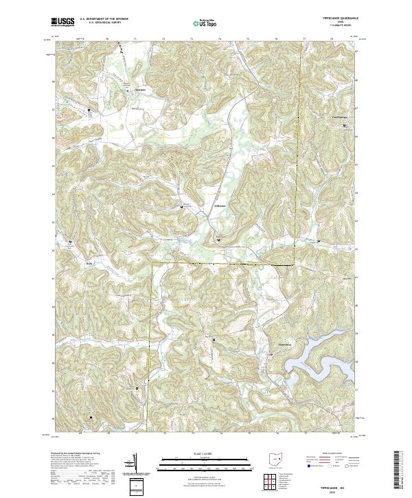 2023 Tippecanoe2023 Print · USGSHarrison and Tuscarawas Counties appear in this modern survey of eastern Ohio’s rolling hills and creek valleys. Genealogists and local historians can trace family locations near Tippecanoe or find ancestral burial sites at Mayes Cem and Feed Spring Cem.
End of results
Showing maps 1-14 of 14
Top cities near Stillwater
- New Philadelphia historical maps
- Dover historical maps
- Uhrichsville historical maps
- Goshen historical maps
- Dennison historical maps
- Gnadenhutten historical maps
See more
Frequently asked questions
- What are the different types of historical maps available for Stillwater?
- What is the oldest map of Stillwater?
- Where can I purchase historical maps of Stillwater for my home or office?
- Where can I download high-res historical maps of Stillwater?
- Are there historical topographic maps available for Stillwater?
- Is there historical aerial imagery available for Stillwater?
- Where are historical maps of Stillwater sourced from?