2020s Maps of Darby Township, Ohio
Explore 4 historic maps of Darby Township from the 2020s. These maps offer a rare glimpse into what life looked like during the 2020s — showing old roads, neighborhoods, homes, and landmarks that have changed or disappeared over time.
Whether you're researching your family's past, planning a metal detecting trip, or studying how Darby Township's landscape evolved across the 2020s, these high-resolution maps are a powerful tool for exploring the history of this region.
- Focus on a specific era: All maps on this page are from the 2020s, giving you a focused view of this time period.
- See what’s changed: Compare century-old streets, trails, and buildings to today's modern landscape using overlays and satellite layers.
- Research with precision: Use these maps for genealogy, historical research, land use analysis, or educational projects.
- View, download, or print: Maps are fully viewable online in high resolution, and can be downloaded or printed for your own records.
Start exploring Darby Township's history through authentic maps from the 2020s. This is your window into the past.
Darby Township, OH maps
(4)- 2023 Map of Plumwood, 2023 Print
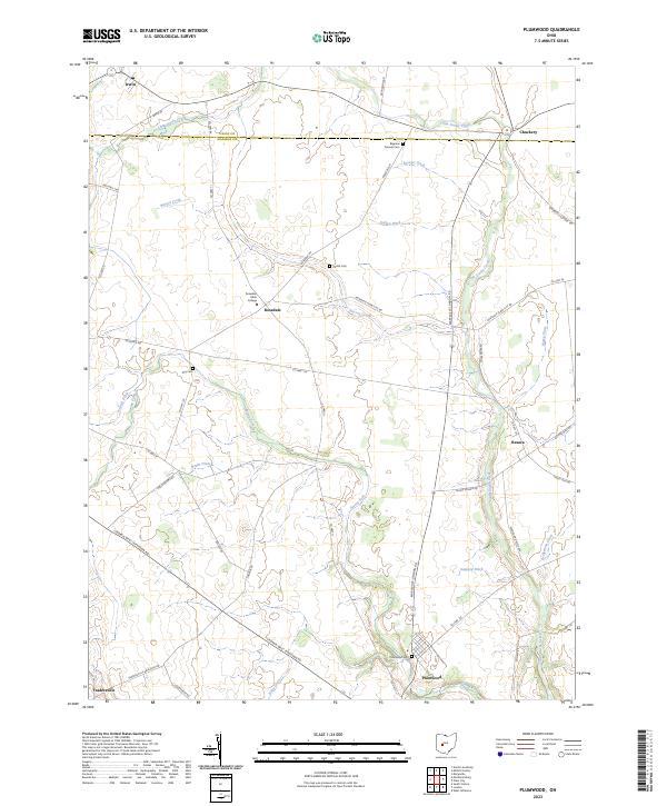 2023 Plumwood2023 Print · USGSMadison and Union counties are shown here as they appear today, featuring a landscape of productive farmland and small rural crossroads. Genealogists can trace family footprints across Bigelow Pioneer Cem, the Rosedale settlement, and Plumwood Cem.
 - 2023 Map of Milford Center, 2023 Print
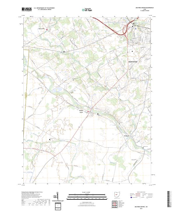 2023 Milford Center2023 Print · USGSAgricultural lands around Milford Center and Marysville are defined by the winding Big Darby Creek. Genealogists can trace family heritage at McDonald Cem, Buck Run Cem, and Milford Center Cem or locate the rural crossroads of Allen Center.
 - 2023 Map of Marysville, 2023 Print
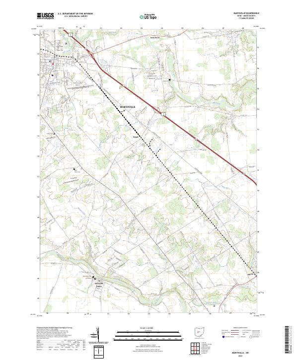 2023 Marysville2023 Print · USGSMarysville and the surrounding Union County townships are documented here in the early 2020s as residential expansion meets the rural landscape. Researchers can locate family sites and local landmarks like Unionville Center, Trinity Cem, and the Union County Courthouse.
 - 2023 Map of Plain City, 2023 Print
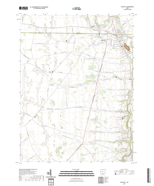 2023 Plain City2023 Print · USGSCentral Ohio farm country and the village of Plain City are documented in the early twenty-first century. Genealogists can locate several burial grounds like Forest Grove Cem and Smith Cem alongside historic routes like Amish Pike.
End of results
Showing maps 1-4 of 4
Top cities near Darby Township
- Columbus historical maps
- Dublin historical maps
- Delaware historical maps
- Hilliard historical maps
- Marysville historical maps
- Jerome historical maps
See more
Top neighborhoods of Darby Township
Frequently asked questions
- What are the different types of historical maps available for Darby Township?
- What is the oldest map of Darby Township?
- Where can I purchase historical maps of Darby Township for my home or office?
- Where can I download high-res historical maps of Darby Township?
- Are there historical topographic maps available for Darby Township?
- Is there historical aerial imagery available for Darby Township?
- Where are historical maps of Darby Township sourced from?