2000s (21st Century) Maps of Brown Township, Ohio
Explore 23 historic maps of Brown Township from the 2000s (21st Century). These maps offer a rare glimpse into what life looked like during the 2000s — showing old roads, neighborhoods, homes, and landmarks that have changed or disappeared over time.
Whether you're researching your family's past, planning a metal detecting trip, or studying how Brown Township's landscape evolved across the 2000s, these high-resolution maps are a powerful tool for exploring the history of this region.
- Focus on a specific era: All maps on this page are from the 2000s, giving you a focused view of this time period.
- See what’s changed: Compare century-old streets, trails, and buildings to today's modern landscape using overlays and satellite layers.
- Research with precision: Use these maps for genealogy, historical research, land use analysis, or educational projects.
- View, download, or print: Maps are fully viewable online in high resolution, and can be downloaded or printed for your own records.
Start exploring Brown Township's history through authentic maps from the 2000s. This is your window into the past.
Brown Township, OH maps
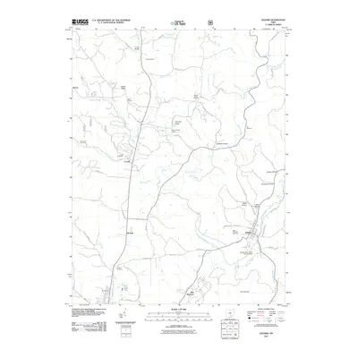
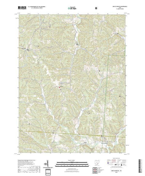
(23)- 2002 Map of New Plymouth, 2006 Print
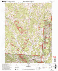 2002 New Plymouth2006 Print · USGSHocking County's ridge-and-hollow terrain is captured here at the start of the millennium, showing a landscape shaped by both the national forest and intensive mining. Researchers can trace rural lineages through numerous sites like Ilesboro Cem, Morris Chapel Cem, and The Ridge Cem.
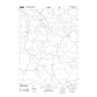
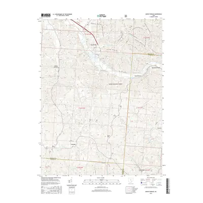
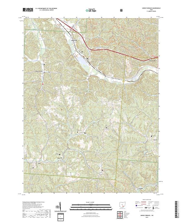
 - 2002 Map of Union Furnace, 2006 Print
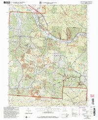 2002 Union Furnace2006 Print · USGSThe southeastern Ohio hill country is documented here at the turn of the twenty-first century, showcasing a landscape defined by coal extraction and conservation. Researchers can trace family history at Haydenville Cem or locate the old Green Sch and the community of Union Furnace.
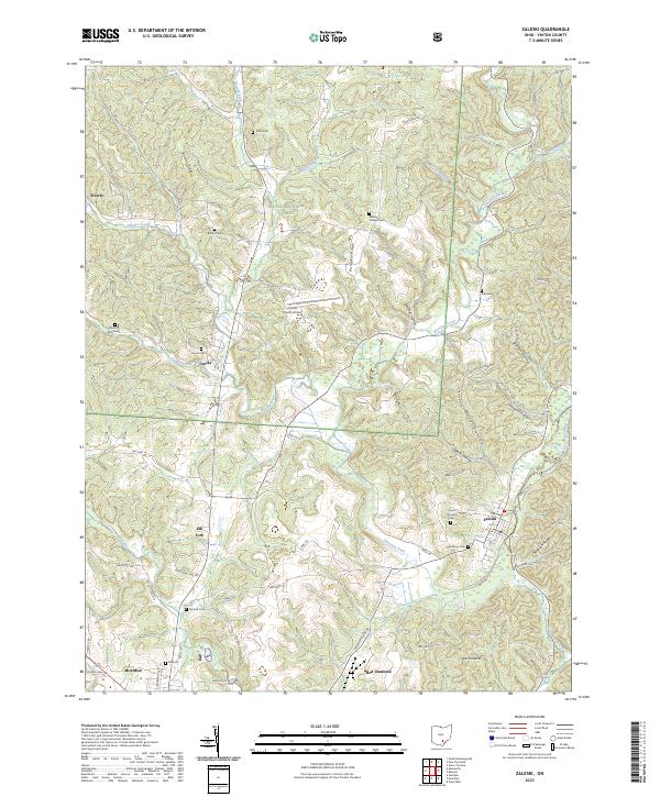
 - 2002 Map of Zaleski, 2006 Print
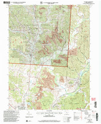 2002 Zaleski2006 Print · USGSVinton County at the turn of the millennium shows a landscape defined by state forestry and industrial reclamation. Genealogists can trace family names at Wesley Chapel Cem or locate the Swan Sch and the County Childrens Home.
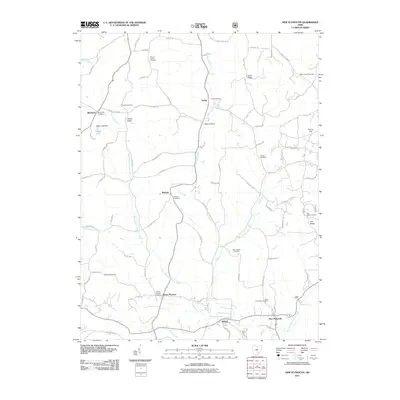
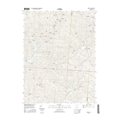
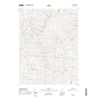
 - 2010 Map of Mineral, 2010 Print
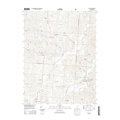
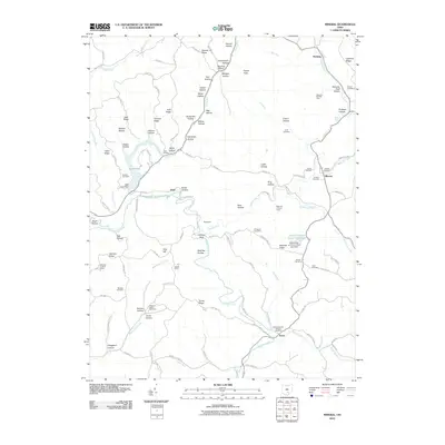 2010 Mineral2010 Print · USGSCovers Brown Township, including Knox, Mineral, and other nearby areas
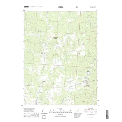
 - 2011 Map of Zaleski, 2011 Print
 2011 Zaleski2011 Print · USGSCovers Brown Township, including McArthur, Zaleski, and other nearby areas
 - 2011 Map of New Plymouth, 2011 Print
 2011 New Plymouth2011 Print · USGSCovers Brown Township, including Ewing, Blackjack, and other nearby areas
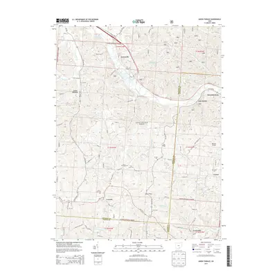
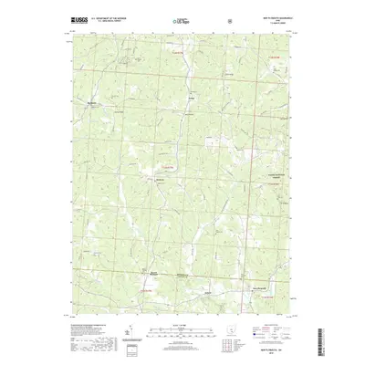
 - 2011 Map of Union Furnace, 2011 Print
 2011 Union Furnace2011 Print · USGSCovers Brown Township, including Nelsonville, Starr, and other nearby areas
 - 2013 Map of Union Furnace, 2013 Print
 2013 Union Furnace2013 Print · USGSCovers Brown Township, including Nelsonville, Starr, and other nearby areas
 - 2013 Map of Zaleski, 2013 Print
 2013 Zaleski2013 Print · USGSCovers Brown Township, including McArthur, Zaleski, and other nearby areas
 - 2013 Map of Mineral, 2013 Print
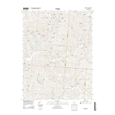 2013 Mineral2013 Print · USGSCovers Brown Township, including Knox, Mineral, and other nearby areas
 - 2013 Map of New Plymouth, 2013 Print
 2013 New Plymouth2013 Print · USGSCovers Brown Township, including Ewing, Blackjack, and other nearby areas
 - 2016 Map of Zaleski, 2016 Print
 2016 Zaleski2016 Print · USGSCovers Brown Township, including McArthur, Zaleski, and other nearby areas
 - 2016 Map of Mineral, 2016 Print
 2016 Mineral2016 Print · USGSCovers Brown Township, including Knox, Mineral, and other nearby areas
 - 2016 Map of New Plymouth, 2016 Print
 2016 New Plymouth2016 Print · USGSCovers Brown Township, including Ewing, Blackjack, and other nearby areas
 - 2016 Map of Union Furnace, 2016 Print
 2016 Union Furnace2016 Print · USGSCovers Brown Township, including Nelsonville, Starr, and other nearby areas
 - 2019 Map of Union Furnace, 2019 Print
 2019 Union Furnace2019 Print · USGSCovers Brown Township, including Nelsonville, Starr, and other nearby areas
 - 2019 Map of Mineral, 2019 Print
 2019 Mineral2019 Print · USGSCovers Brown Township, including Knox, Mineral, and other nearby areas
 - 2019 Map of Zaleski, 2019 Print
 2019 Zaleski2019 Print · USGSCovers Brown Township, including McArthur, Zaleski, and other nearby areas
 - 2019 Map of New Plymouth, 2019 Print
 2019 New Plymouth2019 Print · USGSCovers Brown Township, including Ewing, Blackjack, and other nearby areas
 - 2023 Map of Mineral, 2023 Print
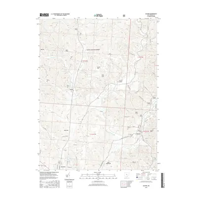
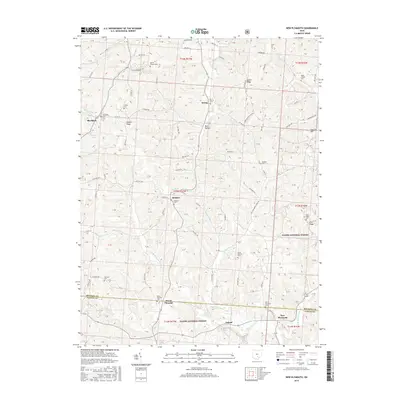
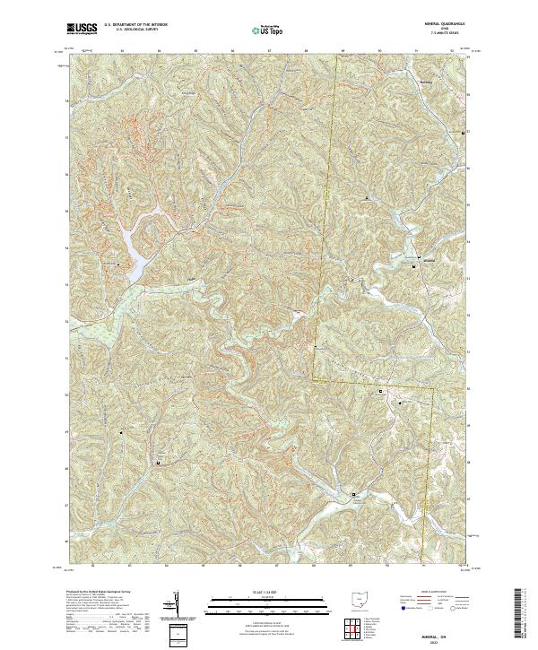 2023 Mineral2023 Print · USGSThe Vinton and Athens county line comes alive in this study of the hollows and ridges near Mineral and Hope. Genealogists can trace family connections through numerous local burial sites like Keeton Cem, Madison Cem, and Pleasant Valley Cem.
 - 2023 Map of New Plymouth, 2023 Print
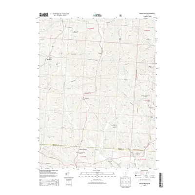
 2023 New Plymouth2023 Print · USGSHocking and Vinton counties come into sharp focus in this recent survey of the ridges and valleys near New Plymouth. Genealogists and local historians can trace family locations through numerous rural burial sites like Morris Chapel Cem, Ilesboro Cem, and Meldrim Cem.
 - 2023 Map of Union Furnace, 2023 Print
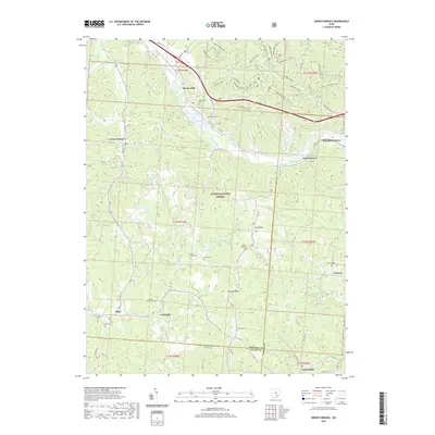
 2023 Union Furnace2023 Print · USGSThe Hocking Valley hills come alive in this survey of the tri-county borderlands during the early twenty-first century. Genealogists can trace family names at Morris Chapel Cem and Starr Cem, or explore old settlements like Haydenville and Coonville.
 - 2023 Map of Zaleski, 2023 Print
 2023 Zaleski2023 Print · USGSVinton County's deeply wooded ridges and hollows are documented in this recent survey, showcasing the area's transition between the forest and local settlements. Genealogists can locate several family-named burial grounds like Prose Cem and Fee Cem near Creola and Siverly.
End of results
Showing maps 1-23 of 23
Top cities near Brown Township
- Athens historical maps
- Wellston historical maps
- Nelsonville historical maps
- The Plains historical maps
- McArthur historical maps
- Starr historical maps
See more
Top neighborhoods of Brown Township
Frequently asked questions
- What are the different types of historical maps available for Brown Township?
- What is the oldest map of Brown Township?
- Where can I purchase historical maps of Brown Township for my home or office?
- Where can I download high-res historical maps of Brown Township?
- Are there historical topographic maps available for Brown Township?
- Is there historical aerial imagery available for Brown Township?
- Where are historical maps of Brown Township sourced from?