Old Maps of Hamilton Township, Ohio for Genealogy
Trace your family roots with 20 historic maps of Hamilton Township. These high-res maps reveal old neighborhoods, homesites, landmarks, and streets — helping you uncover where your ancestors lived and how the area evolved over time.
- Explore historic neighborhoods: Identify where your relatives may have lived in the 1800s or 1900s.
- Compare maps over time: Trace the changes in streets, buildings, and landmarks for multi-generational research.
- Perfect for genealogy & ancestry research: Used by family historians and researchers to map out lineage and migration.
These maps are an incredible resource for exploring your personal connection to Hamilton Township's past.
Hamilton Township, OH maps
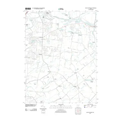
(20)- 1904 Map of Mason, 1958 Print
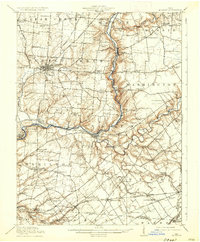
 1904 Mason1958 Print · USGSSouthwestern Ohio at the turn of the century is a landscape of thriving canal-era towns and expanding rail corridors. Genealogists and researchers can trace the early layouts of Union Village, Shaker Village, and the industrial riverside at Kings Mills.
 - 1906 Map of Mason, 1939 Print
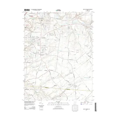
 1906 Mason1939 Print · USGSWarren and Butler counties are shown here in the first decade of the 1900s, when electric railways were transforming rural life. Genealogists can trace family roots through old hubs like Union Village, Kings Mills, and Amanda Excello P O.2 unique versions available
 - 1914 Map of Morrow, 1963 Print
 1914 Morrow1963 Print · USGSWarren County in the years before the Great War is a landscape of thriving river towns and busy rail junctions. Genealogists and historians can trace family locations through numerous rural schoolhouses like Chestnut Ridge School or landmarks like Fort Ancient and Stubbs Mill.
 - 1916 Map of Morrow, 1936 Print
 1916 Morrow1936 Print · USGSWarren County at the start of the Great War is a landscape of thriving river towns and dense rural school districts. Genealogists can locate family-named schools and early settlements like Harveysburg, Maineville, and the landmark Fort Ancient.2 unique versions available
 - 1953 Map of Cincinnati, 1965 Print
 1953 Cincinnati1965 Print · USGSThe Ohio River valley and the industrial heartland of Indiana and Ohio are captured here during the mid-century peak of rail and river commerce. Genealogists and historians can trace connections between Cincinnati and outlying military sites like Camp Atterbury and Bakalar AFB.3 unique versions available
 - 1955 Map of South Lebanon, 1956 Print
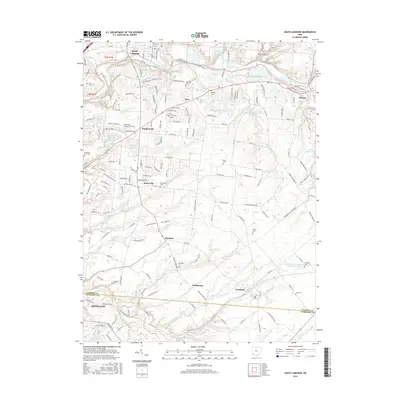
 1955 South Lebanon1956 Print · USGSWarren and Clermont Counties are captured in the mid-fifties, showing the industrial pulse of the Little Miami River valley alongside quiet farming hamlets. Trace family roots at Deerfield Cem, locate the old Township Sch, or explore the rail hubs at Middletown Junction and Morrow.4 unique versions available
 - 1955 Map of Mason, 1956 Print
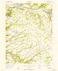
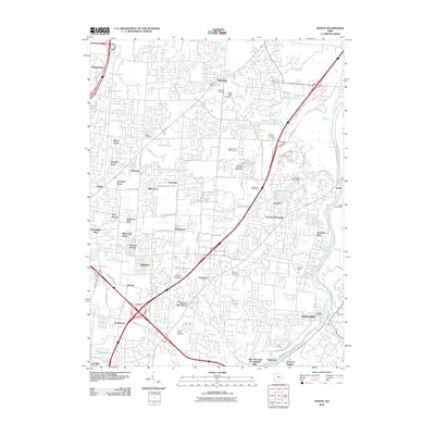
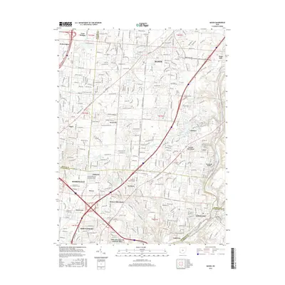
 1955 Mason1956 Print · USGSSouthwestern Ohio was entering a period of suburban expansion in the mid-fifties while maintaining its vital river and rail corridors. Trace the massive Voice of America transmitter site and local landmarks like Kings Mills and Gate of Heaven Cemetery.
 - 1957 Map of Cincinnati
 1957 Cincinnati1957 Print · USGSThe Ohio River valley and its surrounding highlands thrived during the mid-fifties industrial peak, centered on the bustling Cincinnati and Dayton metropolitan hubs. Researchers can trace the extensive rail networks and military sites like Wright-Patterson AFB and Camp Atterbury.
 - 1965 Map of Mason, 1968 Print
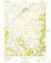
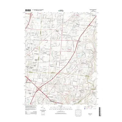
 1965 Mason1968 Print · USGSWarren and Hamilton counties are shown in the mid-sixties as the suburban corridor north of Cincinnati began to accelerate. Researchers can trace the massive U S Reservation Voice of America site, the old crossroads at Sixteen Mile Stand, and landmarks like the Radio Tower (WLW).4 unique versions available
 - 1986 Map of Cincinnati
 1986 Cincinnati1986 Print · USGSGreater Cincinnati and its tri-state surrounds are captured here in the mid-eighties as suburban growth reached into the neighboring hills and river valleys. Researchers can trace the development of transit hubs like Greater Cincinnati International Airport and historic sites such as Spring Grove Cemetery.3 unique versions available
 - 2010 Map of South Lebanon, 2010 Print
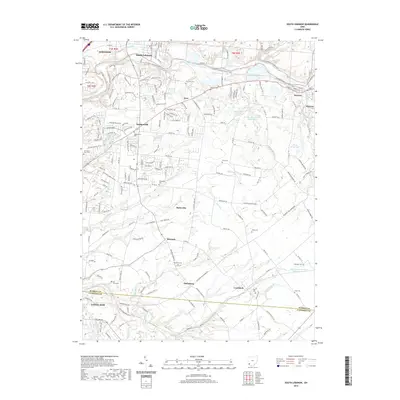
 2010 South Lebanon2010 Print · USGSCovers Hamilton Township, including Lebanon, Loveland, and other nearby areas
 - 2010 Map of Mason, 2010 Print
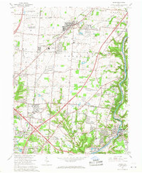
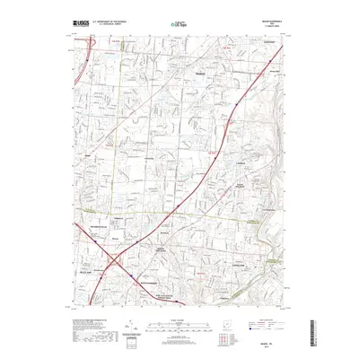
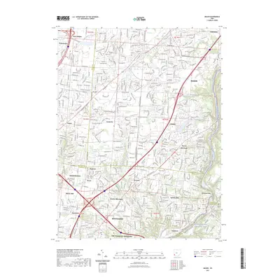
 2010 Mason2010 Print · USGSCovers Hamilton Township, including Mason, Lebanon, and other nearby areas
 - 2013 Map of South Lebanon, 2013 Print
 2013 South Lebanon2013 Print · USGSCovers Hamilton Township, including Lebanon, Loveland, and other nearby areas
 - 2013 Map of Mason, 2013 Print
 2013 Mason2013 Print · USGSCovers Hamilton Township, including Mason, Lebanon, and other nearby areas
 - 2016 Map of South Lebanon, 2016 Print
 2016 South Lebanon2016 Print · USGSCovers Hamilton Township, including Lebanon, Loveland, and other nearby areas
 - 2016 Map of Mason, 2016 Print
 2016 Mason2016 Print · USGSCovers Hamilton Township, including Mason, Lebanon, and other nearby areas
 - 2019 Map of South Lebanon, 2019 Print
 2019 South Lebanon2019 Print · USGSCovers Hamilton Township, including Lebanon, Loveland, and other nearby areas
 - 2019 Map of Mason, 2019 Print
 2019 Mason2019 Print · USGSCovers Hamilton Township, including Mason, Lebanon, and other nearby areas
 - 2023 Map of South Lebanon, 2023 Print
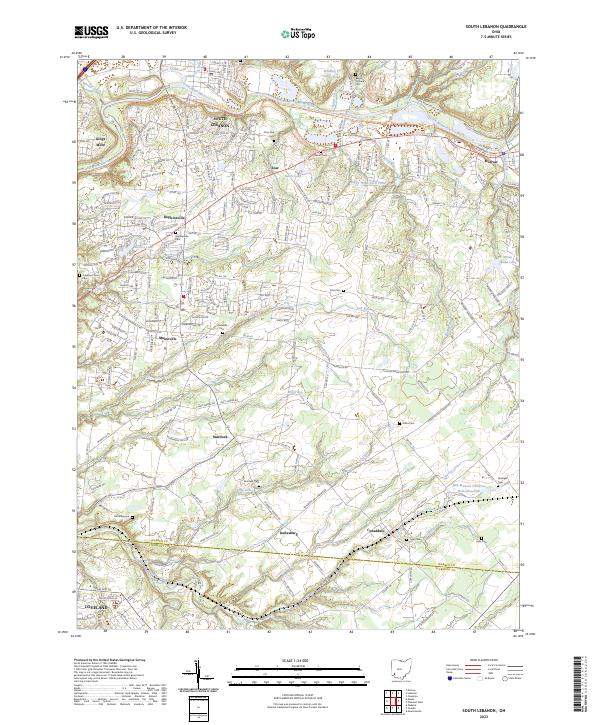 2023 South Lebanon2023 Print · USGSThe Little Miami River corridor in Warren County is captured in this modern survey, showing a landscape of well-connected villages and historic burial grounds. Genealogists and researchers can trace local family lineages at Deerfield Cem, Hill Graveyard, and the Barrett Cem.
 - 2023 Map of Mason, 2023 Print
 2023 Mason2023 Print · USGSMason and the surrounding northern Cincinnati suburbs appear in this contemporary survey, showing a landscape defined by rapid growth. Researchers can trace historic family burial sites like Union Cem and old crossroads such as Sixteen Mile Stand.
End of results
Showing maps 1-20 of 20
Top cities near Hamilton Township
- Cincinnati historical maps
- Middletown historical maps
- Mason historical maps
- Lebanon historical maps
- Springboro historical maps
- Fort Thomas historical maps
See more
Top neighborhoods of Hamilton Township
- Dallasburg historical maps
- Hopkinsville historical maps
- Zoar historical maps
- Murdock historical maps
- Cozaddale historical maps
- Comargo historical maps
See more
Frequently asked questions
- What are the different types of historical maps available for Hamilton Township?
- What is the oldest map of Hamilton Township?
- Where can I purchase historical maps of Hamilton Township for my home or office?
- Where can I download high-res historical maps of Hamilton Township?
- Are there historical topographic maps available for Hamilton Township?
- Is there historical aerial imagery available for Hamilton Township?
- Where are historical maps of Hamilton Township sourced from?