Old Maps of Clinton Township, Ohio for Hiking & Exploration
Hike through history with 34 historic maps of Clinton Township. Explore old trails, ghost towns, and forgotten backroads — perfect for outdoor adventurers and local explorers.
- Rediscover forgotten places: Map out old mining camps, roads, and footpaths that no longer exist on modern maps.
- Layer with modern tools: Combine with LiDAR or satellite views to plan hikes through historical terrain.
- Made for exploration: Popular among hikers, overlanders, and local history lovers.
Use these maps to find adventure and explore the hidden past of Clinton Township.
Clinton Township, OH maps
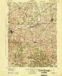
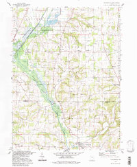
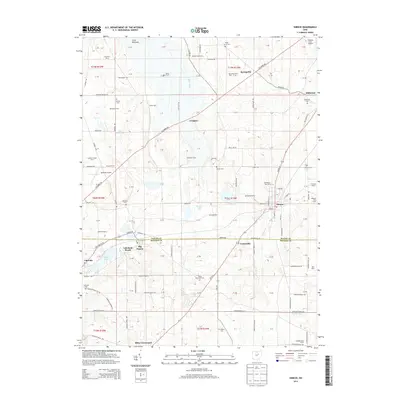
(34)- 1912 Map of Loudonville, 1958 Print
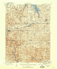 1912 Loudonville1958 Print · USGSBefore modern highways rearranged rural Ohio, this area thrived as a network of rail-side towns and country schoolhouses. Genealogists can trace family footprints at Germany School, the Greenville Treaty Line, and the village of Shreve.
 - 1914 Map of Loudonville, 1944 Print
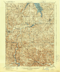 1914 Loudonville1944 Print · USGSNorth-central Ohio is captured here in the years before the Great War, showing a dense network of hill-country farms and railroad towns. Genealogists can trace family roots through dozens of local landmarks like Germany School, Miley Crossroads, and the historic Greenville Treaty Line.
 - 1915 Map of Millersburg, 1935 Print
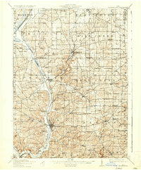 1915 Millersburg1935 Print · USGSHolmes County and southern Wayne County appear here during the early twentieth century, showing a landscape defined by small farming hamlets and a dense network of country schools. Genealogists can trace family footprints near Millersburg or locate landmarks like the GREENVILLE TREATY LINE, Mount Hope, and the Indian Trail.2 unique versions available
 - 1943 Map of Millersburg
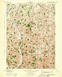 1943 Millersburg1943 Print · USGSHolmes County and southern Wayne County are shown in the 1940s as a landscape of small farms and rail-connected villages. Genealogists can locate numerous local institutions like Hazeldell Sch, follow the Pennsylvania RR through Millersburg, or find early Oil Wells.
 - 1943 Map of Loudonville
 1943 Loudonville1943 Print · USGSAshland and Holmes counties during the early years of the war show a landscape defined by the PENNSYLVANIA rail line and the Mohican River. Genealogists can locate dozens of country schools like Ball Alley Sch and settlements such as Nashville or Big Prairie.
 - 1950 Map of Marion
 1950 Marion1950 Print · USGSCentral Ohio was a powerhouse of rail and river industry at the mid-century point, serving as a vital corridor between the Great Lakes and the Ohio River valley. Genealogists and rail historians can trace the paths of the Erie RR and Nickel Plate Road through towns like Bucyrus, Galion, and Upper Sandusky.
 - 1951 Map of Canton
 1951 Canton1951 Print · USGSThe industrial heartland of Ohio and Pennsylvania reached its mid-century peak during this era of heavy rail and river transit. Genealogists and historians can trace the development of steel towns like Aliquippa and Weirton alongside the Ohio River and major lines of the Pennsylvania RR.
 - 1953 Map of Canton
 1953 Canton1953 Print · USGSThe industrial heartland of Ohio and Pennsylvania is captured at its mid-century peak in this detailed regional survey. Genealogists and historians can trace the vast rail networks of the Pennsylvania RR and find local landmarks like Nimisila Reservoir and Tappan Reservoir.
 - 1957 Map of Canton, 1971 Print
 1957 Canton1971 Print · USGSThe industrial heartland of eastern Ohio and western Pennsylvania comes alive in this mid-century survey of the Ohio River Valley. Trace the heritage of rail and river commerce through Pittsburgh, the massive steel towns along the Ohio River, and major junctions on the Pennsylvania RR.3 unique versions available
 - 1961 Map of Loudonville, 1963 Print
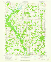
 1961 Loudonville1963 Print · USGSIn the early sixties, the Mohican River valley around Loudonville remained a landscape of active rail transport and rural industry. Researchers can trace family sites at County Line Cem, the local impact of the Mohicanville Dam, and the early oil and gas fields near McZena.3 unique versions available
 - 1961 Map of Holmesville, 1963 Print
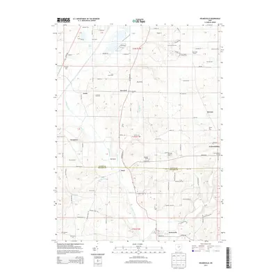
 1961 Holmesville1963 Print · USGSThe agricultural and industrial character of the Wayne and Holmes County border is revealed in the early 1960s. Genealogists and historians can trace the Pennsylvania Railroad Grade through Holmesville or locate rural sites like Moorhead Ch and Franklin Sch.4 unique versions available
 - 1961 Map of Shreve, 1963 Print
 1961 Shreve1963 Print · USGSWayne and Holmes counties in the early sixties reveal a landscape of glacial lakes and established rail towns. Researchers can trace family roots through Shreve Cem and Bigelow Ch Cem or locate the lakeside communities of Lakeland Beach and Lakeville.3 unique versions available
 - 1962 Map of Marion
 1962 Marion1962 Print · USGSCentral Ohio during the post-war era showcases a dense network of railroad towns and emerging interstate highways. Genealogists can trace family roots in smaller settlements like Houcktown and Marseilles or locate landmarks near Indian Lake.
 - 1962 Map of Canton
 1962 Canton1962 Print · USGSThe industrial heartland of Eastern Ohio and Western Pennsylvania thrives in the early sixties as steel mills and rail lines dominate the river valleys. Genealogists and historians can trace local landmarks like McKinley National Memorial, Malone College, and industrial sites such as Republic Steel Corp.2 unique versions available
 - 1966 Map of Marion, 1968 Print
 1966 Marion1968 Print · USGSCentral Ohio in the mid-sixties is captured during a period of rapid highway expansion and industrial connectivity. Genealogists and historians can trace rail-and-river networks through towns like Marion, Urbana, and Mount Vernon, or locate landmarks such as Malabar Farm and Black Hand Rock.3 unique versions available
 - 1986 Map of Mansfield
 1986 Mansfield1986 Print · USGSNorth-central Ohio in the mid-eighties shows a landscape of industrial towns and large-scale water management projects. Researchers can trace historic sites like the Mansfield Reformatory, Malabar Farm State Park, and the racing grounds at Mid-Ohio Race Course.
 - 1986 Map of Canton
 1986 Canton1986 Print · USGSNortheastern Ohio’s industrial corridor and rural heartland are captured here in the mid-1980s as the region's rail and highway networks reached their modern form. Researchers can trace the layout of Canton and Massillon, locate family sites near West Lawn Cemetery, or explore the grounds of Malone College and Walsh College.2 unique versions available
 - 1994 Map of Mansfield
 1994 Mansfield1994 Print · USGSThe Mansfield and Ashland corridor of the 1990s reveals a landscape of industrial rail junctions and extensive state forests. You can trace the drainage of the Mohican River through reservoirs like Charles Mill Lake or locate sites such as Malabar Farm State Park.
 - 1994 Map of Holmesville, 1998 Print
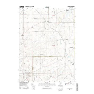
 1994 Holmesville1998 Print · USGSThe rural border of Wayne and Holmes counties is captured here in the 1990s as it appeared before modern development. Researchers can trace the Pennsylvania Railroad corridor and locate historic sites like Franklin Sch and Prairie Cem.2 unique versions available
 - 2010 Map of Loudonville, 2010 Print
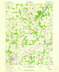
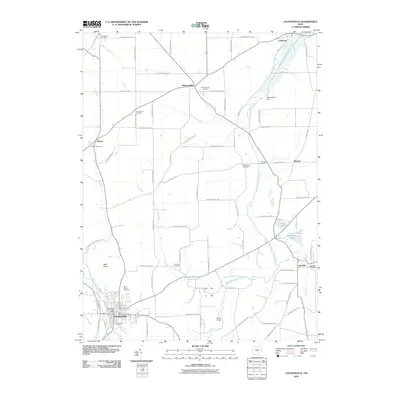 2010 Loudonville2010 Print · USGSCovers Clinton Township, including Loudonville, Lake Township, and other nearby areas
 - 2010 Map of Shreve, 2010 Print
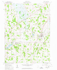
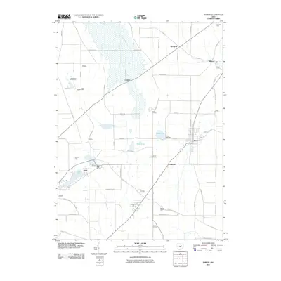 2010 Shreve2010 Print · USGSCovers Clinton Township, including Shreve, Lakeland Beach, and other nearby areas
 - 2010 Map of Holmesville, 2010 Print
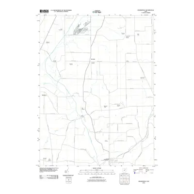 2010 Holmesville2010 Print · USGSCovers Clinton Township, including Wooster, Fredericksburg, and other nearby areas
 - 2013 Map of Shreve, 2013 Print
 2013 Shreve2013 Print · USGSCovers Clinton Township, including Shreve, Lakeland Beach, and other nearby areas
 - 2013 Map of Loudonville, 2013 Print
 2013 Loudonville2013 Print · USGSCovers Clinton Township, including Loudonville, Lake Township, and other nearby areas
 - 2013 Map of Holmesville, 2013 Print
 2013 Holmesville2013 Print · USGSCovers Clinton Township, including Wooster, Fredericksburg, and other nearby areas
Showing maps 1-25 of 34
Top cities near Clinton Township
- Wooster historical maps
- Ashland historical maps
- Millersburg historical maps
- Loudonville historical maps
- Shreve historical maps
- Smithville historical maps
See more
Top neighborhoods of Clinton Township
Frequently asked questions
- What are the different types of historical maps available for Clinton Township?
- What is the oldest map of Clinton Township?
- Where can I purchase historical maps of Clinton Township for my home or office?
- Where can I download high-res historical maps of Clinton Township?
- Are there historical topographic maps available for Clinton Township?
- Is there historical aerial imagery available for Clinton Township?
- Where are historical maps of Clinton Township sourced from?