2020s Maps of Plain Township, Ohio
Explore 6 historic maps of Plain Township from the 2020s. These maps offer a rare glimpse into what life looked like during the 2020s — showing old roads, neighborhoods, homes, and landmarks that have changed or disappeared over time.
Whether you're researching your family's past, planning a metal detecting trip, or studying how Plain Township's landscape evolved across the 2020s, these high-resolution maps are a powerful tool for exploring the history of this region.
- Focus on a specific era: All maps on this page are from the 2020s, giving you a focused view of this time period.
- See what’s changed: Compare century-old streets, trails, and buildings to today's modern landscape using overlays and satellite layers.
- Research with precision: Use these maps for genealogy, historical research, land use analysis, or educational projects.
- View, download, or print: Maps are fully viewable online in high resolution, and can be downloaded or printed for your own records.
Start exploring Plain Township's history through authentic maps from the 2020s. This is your window into the past.
Plain Township, OH maps
(6)- 2023 Map of New Pittsburg, 2023 Print
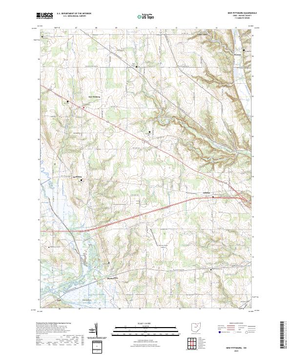 2023 New Pittsburg2023 Print · USGSWayne County's agricultural heartland is documented here in the early twenty-first century, showing a landscape shaped by creek valleys and long-standing hamlets. Genealogists can trace family names through numerous rural burial sites like Eight Square Cem, Yankeetown Cem, and Bethel Cem.
 - 2023 Map of Loudonville, 2023 Print
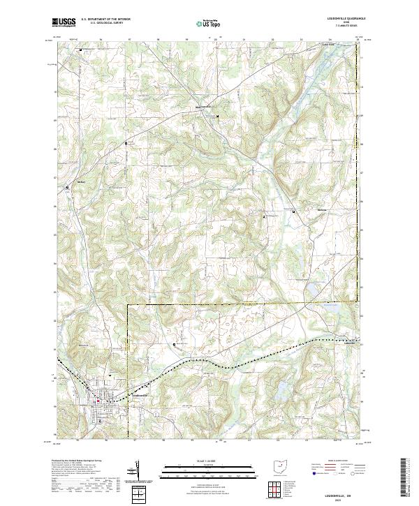 2023 Loudonville2023 Print · USGSLoudonville and the surrounding townships of Ashland and Holmes County are documented here in modern detail. Genealogists and local researchers can trace numerous rural burial sites like Old Sixteen Cem, McKay Cem, and the high ground at Bold Knob.
 - 2023 Map of Shreve, 2023 Print
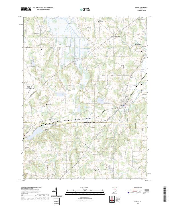 2023 Shreve2023 Print · USGSWayne and Holmes County farmlands meet in this study of North Central Ohio's rural landscape. Genealogists and local historians can trace family roots through numerous sites like Millbrook Cem, Big Prairie, and the wetlands surrounding Shreve Lake.
 - 2023 Map of Jeromesville, 2023 Print
 2023 Jeromesville2023 Print · USGSAshland County farmland and river valleys are shown here during the early twenty-first century. Genealogists can locate family burial sites at Jeromesville Cem and Bushnell Cem or trace the winding course of the Jerome Fork.
 - 2023 Map of Wooster, 2023 Print
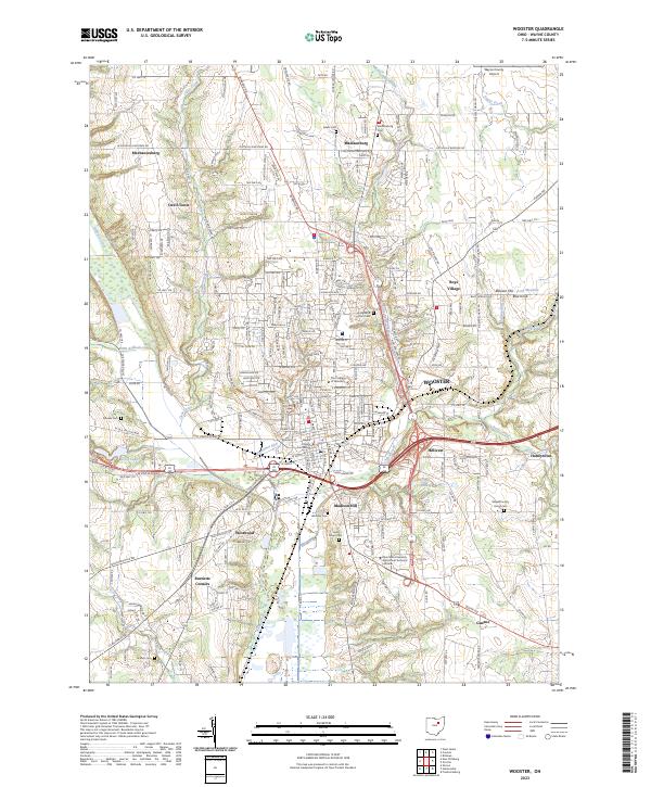 2023 Wooster2023 Print · USGSWooster and its surrounding Wayne County communities are shown here in the 2020s, highlighting the city's role as a regional center of education and governance. Researchers can trace historic landmarks like the Wayne County Courthouse, explore the grounds of The College of Wooster, or locate family sites near Burnetts Corners and Honeytown.
 - 2023 Map of Holmesville, 2023 Print
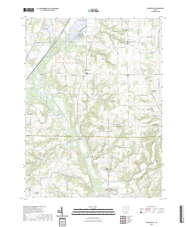 2023 Holmesville2023 Print · USGSThe borderlands of Holmes and Wayne Counties are captured here in the 2020s, showing a traditional rural landscape shaped by Killbuck Creek. Genealogists and historians can locate numerous family and church burial sites, including Moreland Cem and Hermans Cem.
End of results
Showing maps 1-6 of 6
Top cities near Plain Township
- Wooster historical maps
- Ashland historical maps
- Millersburg historical maps
- Loudonville historical maps
- Creston historical maps
- Shreve historical maps
See more
Top neighborhoods of Plain Township
- Blachleyville historical maps
- Funk historical maps
- Millbrook historical maps
- Jefferson historical maps
- Reedsburg historical maps
- Springville historical maps
Frequently asked questions
- What are the different types of historical maps available for Plain Township?
- What is the oldest map of Plain Township?
- Where can I purchase historical maps of Plain Township for my home or office?
- Where can I download high-res historical maps of Plain Township?
- Are there historical topographic maps available for Plain Township?
- Is there historical aerial imagery available for Plain Township?
- Where are historical maps of Plain Township sourced from?