2000s (21st Century) Maps of Mill Creek Township, Ohio
Explore 10 historic maps of Mill Creek Township from the 2000s (21st Century). These maps offer a rare glimpse into what life looked like during the 2000s — showing old roads, neighborhoods, homes, and landmarks that have changed or disappeared over time.
Whether you're researching your family's past, planning a metal detecting trip, or studying how Mill Creek Township's landscape evolved across the 2000s, these high-resolution maps are a powerful tool for exploring the history of this region.
- Focus on a specific era: All maps on this page are from the 2000s, giving you a focused view of this time period.
- See what’s changed: Compare century-old streets, trails, and buildings to today's modern landscape using overlays and satellite layers.
- Research with precision: Use these maps for genealogy, historical research, land use analysis, or educational projects.
- View, download, or print: Maps are fully viewable online in high resolution, and can be downloaded or printed for your own records.
Start exploring Mill Creek Township's history through authentic maps from the 2000s. This is your window into the past.
Mill Creek Township, OH maps
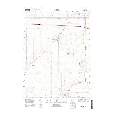
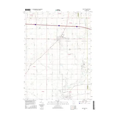
(10)- 2010 Map of West Unity, 2010 Print
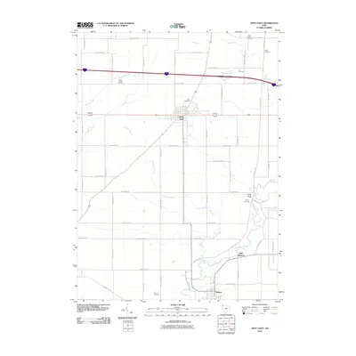 2010 West Unity2010 Print · USGSCovers Mill Creek Township, including West Unity, Stryker, and other nearby areas
 - 2011 Map of Alvordton, 2011 Print
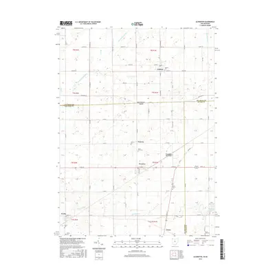
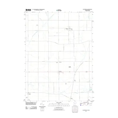 2011 Alvordton2011 Print · USGSCovers Mill Creek Township, including Waldron, Alvordton, and other nearby areas
 - 2013 Map of Alvordton, 2013 Print
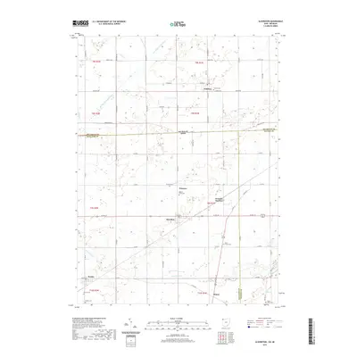
 2013 Alvordton2013 Print · USGSCovers Mill Creek Township, including Waldron, Alvordton, and other nearby areas
 - 2013 Map of West Unity, 2013 Print
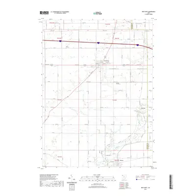
 2013 West Unity2013 Print · USGSCovers Mill Creek Township, including West Unity, Stryker, and other nearby areas
 - 2016 Map of Alvordton, 2016 Print
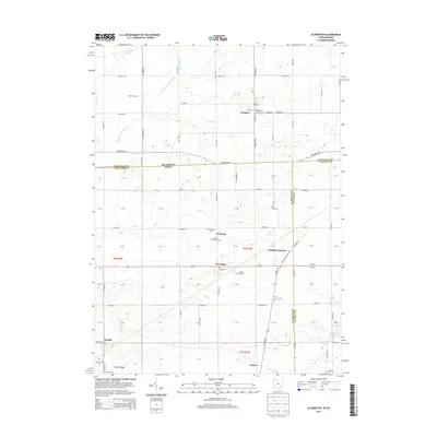
 2016 Alvordton2016 Print · USGSCovers Mill Creek Township, including Waldron, Alvordton, and other nearby areas
 - 2016 Map of West Unity, 2016 Print
 2016 West Unity2016 Print · USGSCovers Mill Creek Township, including West Unity, Stryker, and other nearby areas
 - 2019 Map of West Unity, 2019 Print
 2019 West Unity2019 Print · USGSCovers Mill Creek Township, including West Unity, Stryker, and other nearby areas
 - 2019 Map of Alvordton, 2019 Print
 2019 Alvordton2019 Print · USGSCovers Mill Creek Township, including Waldron, Alvordton, and other nearby areas
 - 2023 Map of Alvordton, 2023 Print
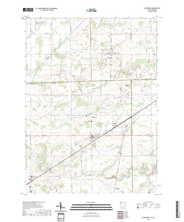 2023 Alvordton2023 Print · USGSSettled along the Michigan-Ohio border in the early 2020s, this region reveals a classic Midwestern landscape of farm grids and small villages. Genealogists can trace family names at Walnut Grove Cem and Kunkle Cem or explore the rural hubs of Alvordton and Primrose.
 - 2023 Map of West Unity, 2023 Print
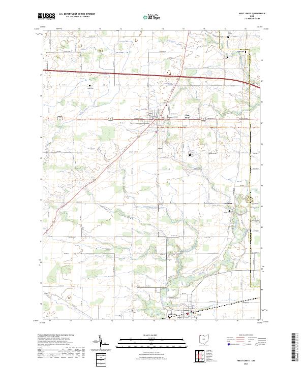 2023 West Unity2023 Print · USGSThe rural landscapes of Williams and Fulton Counties are captured here in the 2020s. Genealogists can trace burial sites like Floral Grove Cem and Lockport Cem or explore the riverfront at Stryker and Lock Port.
End of results
Showing maps 1-10 of 10
Top cities near Mill Creek Township
- Bryan historical maps
- Archbold historical maps
- Montpelier historical maps
- Hudson historical maps
- Morenci historical maps
- West Unity historical maps
See more
Top neighborhoods of Mill Creek Township
Frequently asked questions
- What are the different types of historical maps available for Mill Creek Township?
- What is the oldest map of Mill Creek Township?
- Where can I purchase historical maps of Mill Creek Township for my home or office?
- Where can I download high-res historical maps of Mill Creek Township?
- Are there historical topographic maps available for Mill Creek Township?
- Is there historical aerial imagery available for Mill Creek Township?
- Where are historical maps of Mill Creek Township sourced from?