Old Maps of Northwest Township, Ohio for Hiking & Exploration
Hike through history with 34 historic maps of Northwest Township. Explore old trails, ghost towns, and forgotten backroads — perfect for outdoor adventurers and local explorers.
- Rediscover forgotten places: Map out old mining camps, roads, and footpaths that no longer exist on modern maps.
- Layer with modern tools: Combine with LiDAR or satellite views to plan hikes through historical terrain.
- Made for exploration: Popular among hikers, overlanders, and local history lovers.
Use these maps to find adventure and explore the hidden past of Northwest Township.
Northwest Township, OH maps
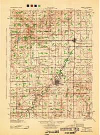
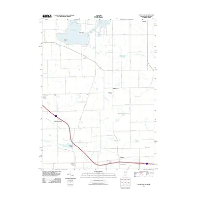
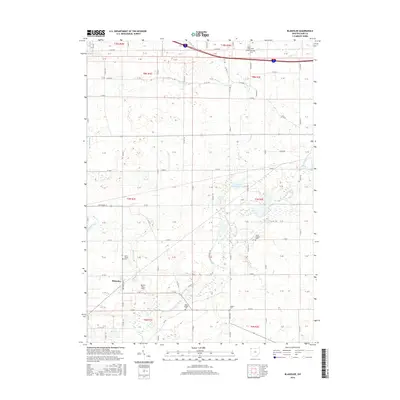
(34)- 1914 Map of Pioneer
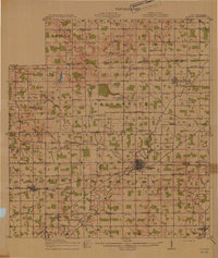 1914 Pioneer1914 Print · USGSNorthwest Ohio and the Michigan borderlands come alive in this pre-war survey of Williams and Hillsdale Counties. Genealogists can trace family farm locations through a dense network of country schools and rail stops like Montpelier, Edon, and the County Infirmary.2 unique versions available
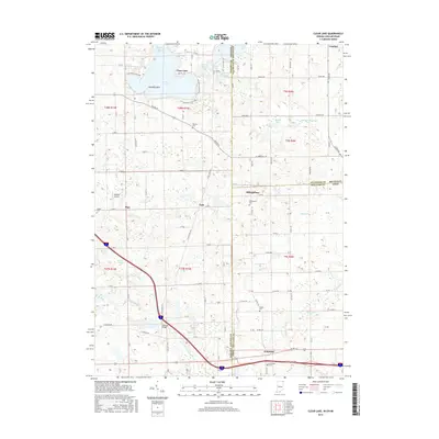
 - 1939 Map of Clear Lake
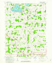
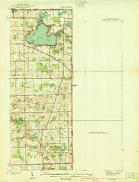 1939 Clear Lake1939 Print · USGSSteuben County was a landscape of intricate glacial lakes and quiet crossroads during the late 1930s. Researchers can trace old family lines through landmarks like Covenant Cem, the settlement at Ray, and the shoreline at Paradise Pt.2 unique versions available
 - 1940 Map of Metz
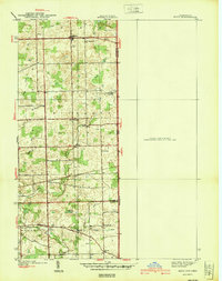 1940 Metz1940 Print · USGSThe Indiana-Ohio borderlands come into focus in the years before the war, showing a landscape of drainage ditches and family-named bridge crossings. Genealogists can trace rural life through landmarks like Metz Cem, Bethel Ch, and the small settlement of Alvarado.2 unique versions available
 - 1940 Map of Clear Lake
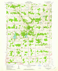
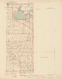 1940 Clear Lake1940 Print · USGSThe tri-state border region of Indiana, Michigan, and Ohio is captured here just before the 1940s, centered on the activity surrounding Clear Lake. Researchers can trace early school sites and family landmarks like Powers Sch, Stallman Bridge, and the Teeters Cem.2 unique versions available
 - 1944 Map of Pioneer
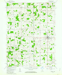
 1944 Pioneer1944 Print · USGSWilliams County and the Michigan border are captured here during the mid-forties, showing a landscape of small farming hamlets and district schools. Researchers can trace the path of the Wabash railroad through Montpelier or locate family sites near Nettle Lake and the County Infirmary.
 - 1953 Map of Fort Wayne, 1963 Print
 1953 Fort Wayne1963 Print · USGSNortheast Indiana and its neighboring borderlands in Michigan and Ohio appear here during a peak era of rail and road expansion. Researchers can trace the massive rail networks of the Nickel Plate Road and Wabash or locate lakeside landmarks like Lake Wawasee and Clear Lake.4 unique versions available
 - 1956 Map of Fort Wayne
 1956 Fort Wayne1956 Print · USGSThe tri-state borderlands of Indiana, Michigan, and Ohio are captured here in the mid-fifties, centered on the growing industrial hub of Fort Wayne. Researchers can trace the heavy rail lines of the New York Central and Pennsylvania alongside prominent water features like Lake Wawasee and the Maumee River.2 unique versions available
 - 1961 Map of Clear Lake, 1963 Print
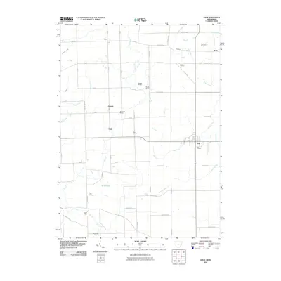
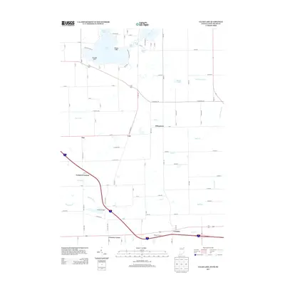
 1961 Clear Lake1963 Print · USGSThe tri-state junction of Indiana, Ohio, and Michigan comes alive in the early sixties as a crossroads of high-speed travel and quiet lakeside life. Researchers can trace the connection between the Indiana Toll Road and the Ohio Turnpike or locate family roots at Teeters Cemetery and Powers Church.3 unique versions available
 - 1961 Map of Edon, 1963 Print
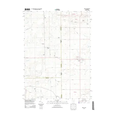
 1961 Edon1963 Print · USGSIn the early 1960s, this tri-state border region centered on Edon highlights a landscape of river-fed farms and remote rural settlements. Researchers can locate historic landmarks like the Covered Bridge and family heritage sites such as Eddy Cem and Zion Ch.4 unique versions available
 - 1961 Map of Nettle Lake, 1963 Print
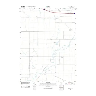
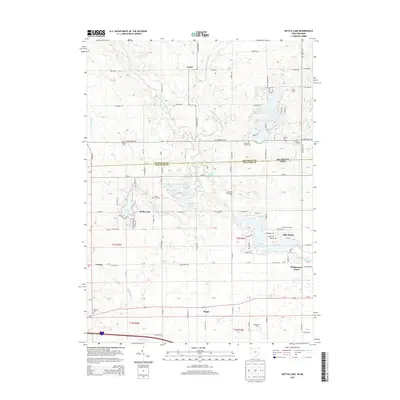
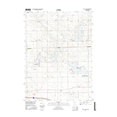
 1961 Nettle Lake1963 Print · USGSThe Ohio-Michigan borderlands appear in the early sixties as a patchwork of farms and glacial lakes. Genealogists can trace property lines and family landmarks like Malcom Cem, Nettle Lake Ch, and the small settlement of Cooney.3 unique versions available
 - 1961 Map of Blakeslee, 1963 Print
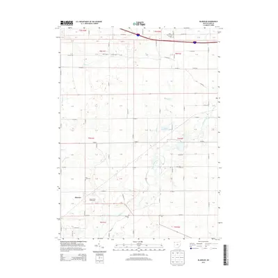
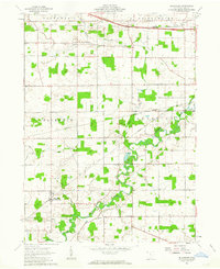 1961 Blakeslee1963 Print · USGSNorthwest Ohio's rural landscape is captured here in the early sixties, where the river and rail lines dictated the pace of life. Genealogists can trace family names through landmarks like Heritage Cem, Union Chapel, and the West Buffalo Cem.2 unique versions available
 - 1985 Map of Adrian
 1985 Adrian1985 Print · USGSThe tri-state borderlands of Michigan, Indiana, and Ohio were well-established by the mid-1980s, characterized by a dense network of glacial lakes and agricultural rail hubs. Genealogists and historians can trace rail lines like the Norfolk and Western Railway and locate landmarks such as the Old Indian Treaty Cem or Riverside Cem.
 - 1990 Map of Adrian, 1991 Print
 1990 Adrian1991 Print · USGSThe Michigan and Ohio borderlands come alive in the final decade of the twentieth century, showing the intricate network of glacial lakes and small-town junctions. Genealogists and local researchers can pinpoint family landmarks from Lakeview Cem to the rail sidings of the Conrail and Norfolk Southern lines.
 - 1992 Map of Clear Lake, 1995 Print
 1992 Clear Lake1995 Print · USGSThe tri-state border region of Indiana, Michigan, and Ohio is captured here as it appeared in the late twentieth century. Researchers can trace family sites like Teeters Cem and Rogers Cem or locate community hubs such as Billingstown and Clear Lake Ch.
 - 2010 Map of Blakeslee, 2010 Print
 2010 Blakeslee2010 Print · USGSCovers Northwest Township, including Blakeslee, St. Joseph Township, and other nearby areas
 - 2010 Map of Edon, 2010 Print
 2010 Edon2010 Print · USGSCovers Northwest Township, including Edon, St. Joseph Township, and other nearby areas
 - 2011 Map of Nettle Lake, 2011 Print
 2011 Nettle Lake2011 Print · USGSCovers Northwest Township, including Bridgewater Center, Northwest, and other nearby areas
 - 2011 Map of Clear Lake, 2011 Print
 2011 Clear Lake2011 Print · USGSCovers Northwest Township, including York, Camden, and other nearby areas
 - 2013 Map of Clear Lake, 2013 Print
 2013 Clear Lake2013 Print · USGSCovers Northwest Township, including York, Camden, and other nearby areas
 - 2013 Map of Nettle Lake, 2013 Print
 2013 Nettle Lake2013 Print · USGSCovers Northwest Township, including Bridgewater Center, Northwest, and other nearby areas
 - 2013 Map of Edon, 2013 Print
 2013 Edon2013 Print · USGSCovers Northwest Township, including Edon, St. Joseph Township, and other nearby areas
 - 2013 Map of Blakeslee, 2013 Print
 2013 Blakeslee2013 Print · USGSCovers Northwest Township, including Blakeslee, St. Joseph Township, and other nearby areas
 - 2016 Map of Clear Lake, 2016 Print
 2016 Clear Lake2016 Print · USGSCovers Northwest Township, including York, Camden, and other nearby areas
 - 2016 Map of Nettle Lake, 2016 Print
 2016 Nettle Lake2016 Print · USGSCovers Northwest Township, including Bridgewater Center, Northwest, and other nearby areas
 - 2016 Map of Blakeslee, 2016 Print
 2016 Blakeslee2016 Print · USGSCovers Northwest Township, including Blakeslee, St. Joseph Township, and other nearby areas
Showing maps 1-25 of 34
Top cities near Northwest Township
- Bryan historical maps
- Angola historical maps
- Montpelier historical maps
- Butler historical maps
- Cambria historical maps
- Edgerton historical maps
See more
Top neighborhoods of Northwest Township
- Billingstown historical maps
- Columbia historical maps
- Cooney historical maps
- Northwest historical maps
- Nettle Lake historical maps
Frequently asked questions
- What are the different types of historical maps available for Northwest Township?
- What is the oldest map of Northwest Township?
- Where can I purchase historical maps of Northwest Township for my home or office?
- Where can I download high-res historical maps of Northwest Township?
- Are there historical topographic maps available for Northwest Township?
- Is there historical aerial imagery available for Northwest Township?
- Where are historical maps of Northwest Township sourced from?