Old Maps of Allen Original, Allen for Hiking & Exploration
Hike through history with 18 historic maps of Allen Original. Explore old trails, ghost towns, and forgotten backroads — perfect for outdoor adventurers and local explorers.
- Rediscover forgotten places: Map out old mining camps, roads, and footpaths that no longer exist on modern maps.
- Layer with modern tools: Combine with LiDAR or satellite views to plan hikes through historical terrain.
- Made for exploration: Popular among hikers, overlanders, and local history lovers.
Use these maps to find adventure and explore the hidden past of Allen Original.
Allen Original, Allen maps
(18)- 1896 Map of Coalgate, 1957 Print
 1896 Coalgate1957 Print · USGSIndian Territory in the mid-1890s shows a landscape of tribal boundaries and nascent rail towns just before the turn of the century. Genealogists and historians can trace the early foundations of Coalgate and Calvin or locate family-named features along Muddy Boggy Creek.
 - 1899 Map of Coalgate
 1899 Coalgate1899 Print · USGSIndian Territory at the close of the nineteenth century is captured here as the coal industry transformed the landscape. Genealogists can trace family roots in the Seminole Nation or search for early mining-era homesites in Coalgate and Phillips.
 - 1900 Map of Coalgate
 1900 Coalgate1900 Print · USGSIndian Territory at the turn of the century shows a land of tribal boundaries and emerging coal towns. Researchers can trace the early rail corridors of the M. K. and T. R. R. and locate vanished communities like Guertie, Citra, and Legal.3 unique versions available
 - 1957 Map of Ardmore, 1968 Print
 1957 Ardmore1968 Print · USGSSouth-central Oklahoma in the late fifties was a landscape of rising reservoir waters and expanding rail lines. Genealogists and historians can trace the foundations of Ardmore and Duncan or locate early recreation sites at Platt National Park and Lake Murray State Park.3 unique versions available
 - 1958 Map of Steedman, 1959 Print
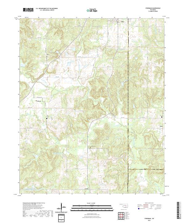
 1958 Steedman1959 Print · USGSPontotoc and Hughes counties appear here in the late fifties as a landscape of oil production and quiet rural communities. Researchers can trace the Old Indian Boundary and locate family landmarks like Black Rock Cem and Dawson Chapel.2 unique versions available
 - 1963 Map of Ardmore
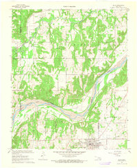
 1963 Ardmore1963 Print · USGSSouthern Oklahoma during the early sixties shows a landscape defined by the Arbuckle Mountains and a booming energy economy. Genealogists and historians can trace family-named sites across the Ardmore Oil Field, find old schools like Southeastern State College, or locate historic markers such as Boggy Depot State Park.2 unique versions available
 - 1967 Map of Allen, 1968 Print
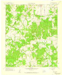
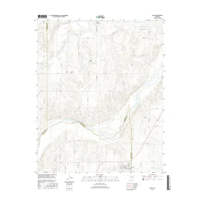
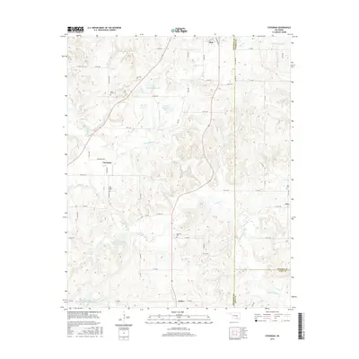
 1967 Allen1968 Print · USGSThe tri-county border of Pontotoc, Hughes, and Seminole counties comes alive in this late 1960s survey during the region's oil-producing era. Genealogists and historians can locate the Old Indian Treaty Boundary alongside rural landmarks like Greenleaf Sch and the extensive Allen Oil Field.2 unique versions available
 - 1990 Map of Ada
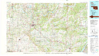 1990 Ada1990 Print · USGSOklahoma's South Central plains and woodlands appear in high detail during the late twentieth century. Genealogists and historians can trace family roots in Ada, locate local institutions like East Central State University, and explore regional hubs like Sulphur or Stonewall.
 - 2009 Map of Steedman, 2009 Print
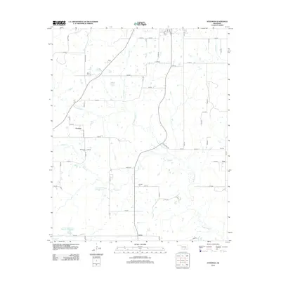
 2009 Steedman2009 Print · USGSCovers Allen Original, including Allen, Steedman, and other nearby areas
 - 2010 Map of Allen, 2010 Print
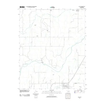 2010 Allen2010 Print · USGSCovers Allen Original, including Allen, Spaulding, and other nearby areas
 - 2012 Map of Steedman, 2012 Print
 2012 Steedman2012 Print · USGSCovers Allen Original, including Allen, Steedman, and other nearby areas
 - 2012 Map of Allen, 2012 Print
 2012 Allen2012 Print · USGSCovers Allen Original, including Allen, Spaulding, and other nearby areas
 - 2016 Map of Allen, 2016 Print
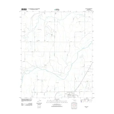
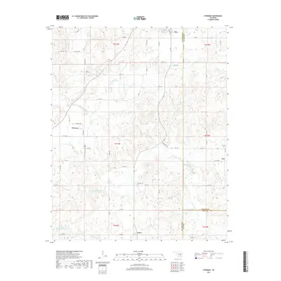
 2016 Allen2016 Print · USGSCovers Allen Original, including Allen, Spaulding, and other nearby areas
 - 2016 Map of Steedman, 2016 Print
 2016 Steedman2016 Print · USGSCovers Allen Original, including Allen, Steedman, and other nearby areas
 - 2018 Map of Steedman, 2018 Print
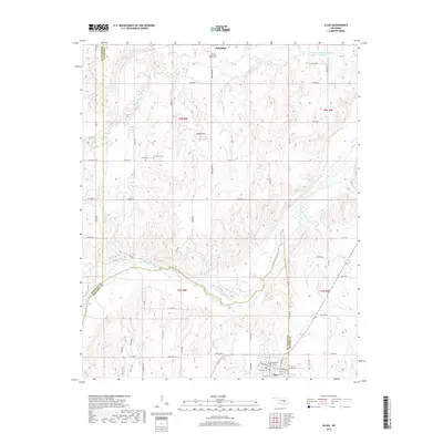
 2018 Steedman2018 Print · USGSCovers Allen Original, including Allen, Steedman, and other nearby areas
 - 2018 Map of Allen, 2018 Print
 2018 Allen2018 Print · USGSCovers Allen Original, including Allen, Spaulding, and other nearby areas
 - 2022 Map of Steedman, 2022 Print
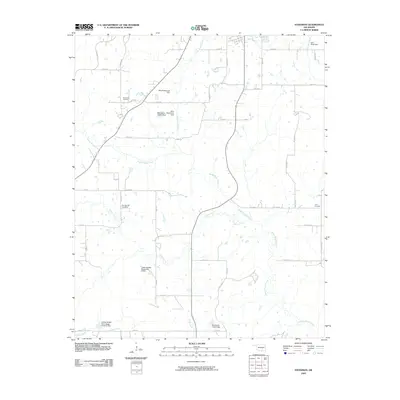
 2022 Steedman2022 Print · USGSThe rural landscape of Pontotoc and Coal counties comes into focus in this recent survey. Local researchers can locate family burial grounds like Red Springs Cem and trace the winding courses of Muddy Boggy Cr near Steedman.
 - 2022 Map of Allen, 2022 Print
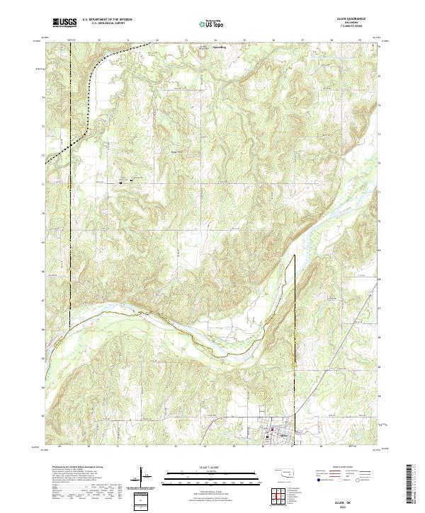 2022 Allen2022 Print · USGSThe tri-county borderlands of Oklahoma come into focus in this contemporary survey of the river-cut landscape around Allen and Spaulding. Researchers can trace local heritage through sites like Tiger Family Cem and Greenleaf Cem along the Canadian River.
End of results
Showing maps 1-18 of 18
Frequently asked questions
- What are the different types of historical maps available for Allen Original?
- What is the oldest map of Allen Original?
- Where can I purchase historical maps of Allen Original for my home or office?
- Where can I download high-res historical maps of Allen Original?
- Are there historical topographic maps available for Allen Original?
- Is there historical aerial imagery available for Allen Original?
- Where are historical maps of Allen Original sourced from?