2020s Maps of Atoka, Oklahoma
Explore 4 historic maps of Atoka from the 2020s. These maps offer a rare glimpse into what life looked like during the 2020s — showing old roads, neighborhoods, homes, and landmarks that have changed or disappeared over time.
Whether you're researching your family's past, planning a metal detecting trip, or studying how Atoka's landscape evolved across the 2020s, these high-resolution maps are a powerful tool for exploring the history of this region.
- Focus on a specific era: All maps on this page are from the 2020s, giving you a focused view of this time period.
- See what’s changed: Compare century-old streets, trails, and buildings to today's modern landscape using overlays and satellite layers.
- Research with precision: Use these maps for genealogy, historical research, land use analysis, or educational projects.
- View, download, or print: Maps are fully viewable online in high resolution, and can be downloaded or printed for your own records.
Start exploring Atoka's history through authentic maps from the 2020s. This is your window into the past.
Atoka, OK maps
(4)- 2022 Map of Bruno, 2022 Print
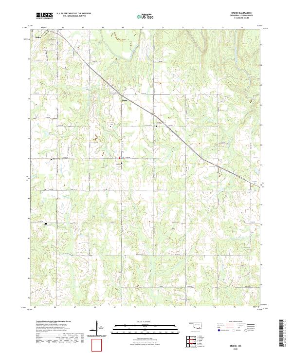 2022 Bruno2022 Print · USGSSoutheastern Oklahoma's rural interior comes into focus during this 2022 survey of the hills near Bruno. Genealogists and local historians can trace burial sites at Harmony Cem and Bera Cem or follow the paths of Muddy Boggy Creek and Little Rock Cr.
 - 2022 Map of Lehigh, 2022 Print
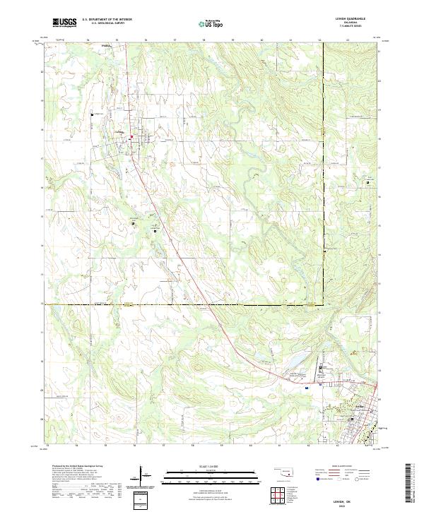 2022 Lehigh2022 Print · USGSSoutheastern Oklahoma's Coal and Atoka counties appear in high detail during the early 2020s, centered on the historic town of Atoka. Researchers can locate several burial grounds like Old Lehigh Cem and the Atoka County Courthouse.
 - 2022 Map of Tushka, 2022 Print
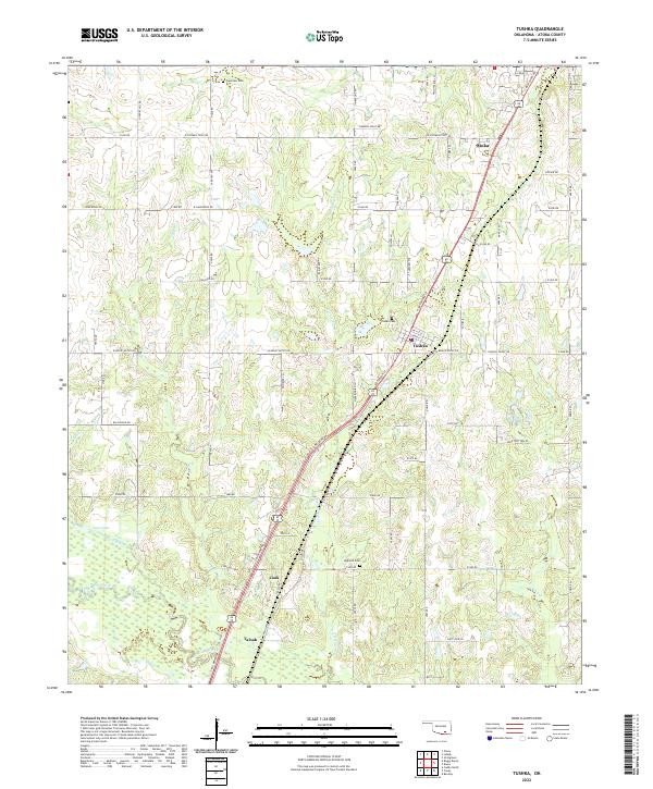 2022 Tushka2022 Print · USGSAtoka County during the early 2020s reveals a landscape where rural settlements like Taloah and Cook sit alongside more established town centers. Researchers can trace the layout of local landmarks including High Hill Cem and Clear Boggy Creek.
 - 2022 Map of Stringtown, 2022 Print
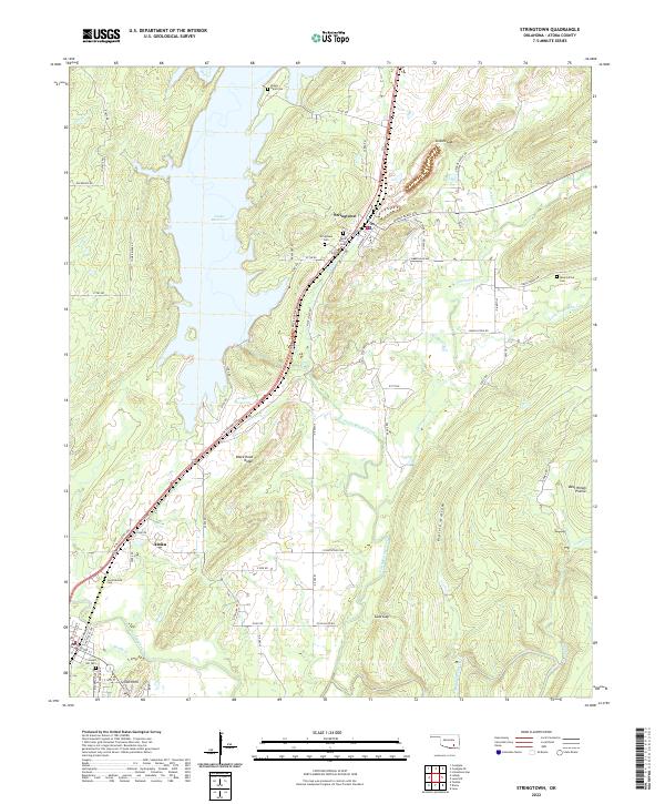 2022 Stringtown2022 Print · USGSAtoka County's reservoir-side landscapes and the town of Stringtown are captured here in the early twenty-first century. Genealogists and local historians can trace family roots through several local sites, including Confederate Cem, Mount Olive Cem, and the prominent Black Knob Ridge.
End of results
Showing maps 1-4 of 4
Top cities near Atoka
- Coalgate historical maps
- Stringtown historical maps
- Tushka historical maps
- Lehigh historical maps
- Caney historical maps
- Phillips historical maps
See more
Frequently asked questions
- What are the different types of historical maps available for Atoka?
- What is the oldest map of Atoka?
- Where can I purchase historical maps of Atoka for my home or office?
- Where can I download high-res historical maps of Atoka?
- Are there historical topographic maps available for Atoka?
- Is there historical aerial imagery available for Atoka?
- Where are historical maps of Atoka sourced from?