Old Maps of Stringtown, Oklahoma for Hiking & Exploration
Hike through history with 11 historic maps of Stringtown. Explore old trails, ghost towns, and forgotten backroads — perfect for outdoor adventurers and local explorers.
- Rediscover forgotten places: Map out old mining camps, roads, and footpaths that no longer exist on modern maps.
- Layer with modern tools: Combine with LiDAR or satellite views to plan hikes through historical terrain.
- Made for exploration: Popular among hikers, overlanders, and local history lovers.
Use these maps to find adventure and explore the hidden past of Stringtown.
Stringtown, OK maps
(11)- 1899 Map of Atoka
 1899 Atoka1899 Print · USGSIn the final years of the Indian Territory, this map details the complex border between the Chickasaw and Choctaw Nations. Genealogists can trace early homesteads near Old Boggy Depot, the Buffalo Creek Church, and the Chickasaw Rock Academy.
 - 1900 Map of Atoka
 1900 Atoka1900 Print · USGSIndian Territory at the turn of the century shows the developing rail-and-river network before Oklahoma statehood. Genealogists and historians can trace original settlements like Old Boggy Depot, find the Chickasaw Rock Academy, and follow the Missouri Kansas and Texas R.R. through Atoka.4 unique versions available
 - 1956 Map of Stringtown, 1958 Print
 1956 Stringtown1958 Print · USGSSoutheastern Oklahoma’s rail-and-river landscape is captured here in the mid-fifties as the Missouri Kansas Texas line navigates the valley floor. Researchers can locate the Confederate Cemetery, the West Tellico School, and the river crossing at Boggy Bend Ford.4 unique versions available
 - 1957 Map of Ardmore, 1968 Print
 1957 Ardmore1968 Print · USGSSouth-central Oklahoma in the late fifties was a landscape of rising reservoir waters and expanding rail lines. Genealogists and historians can trace the foundations of Ardmore and Duncan or locate early recreation sites at Platt National Park and Lake Murray State Park.3 unique versions available
 - 1963 Map of Ardmore
 1963 Ardmore1963 Print · USGSSouthern Oklahoma during the early sixties shows a landscape defined by the Arbuckle Mountains and a booming energy economy. Genealogists and historians can trace family-named sites across the Ardmore Oil Field, find old schools like Southeastern State College, or locate historic markers such as Boggy Depot State Park.2 unique versions available
 - 1985 Map of Tishomingo, 1986 Print
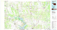 1985 Tishomingo1986 Print · USGSSouthern Oklahoma in the mid-eighties reveals a landscape shaped by significant water projects and conservation lands. Genealogists and historians can trace the footprints of communities like Wapanucka and Bromide alongside the Washita River and Lake Texoma.3 unique versions available
 - 2010 Map of Stringtown, 2010 Print
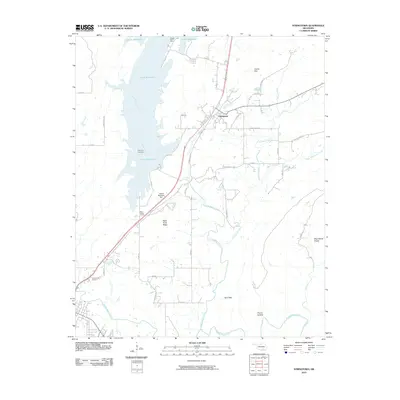 2010 Stringtown2010 Print · USGSStringtown and the surrounding Oklahoma countryside are documented here in the early twenty-first century, showing the intersection of local history and modern infrastructure. You can trace family roots at the Confederate Cemetery or locate the old West Tellico School site near the Atoka Reservoir Dam.
 - 2012 Map of Stringtown, 2012 Print
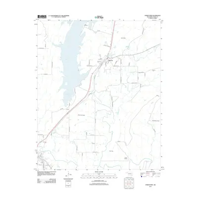 2012 Stringtown2012 Print · USGSAtoka County during the early twenty-first century is defined by the massive Atoka Reservoir and the rugged spine of Black Knob Ridge. Researchers can trace local heritage through several burial sites, including the Confederate Cem, Green Hill Cem, and Boggy Bend Cem.
 - 2016 Map of Stringtown, 2016 Print
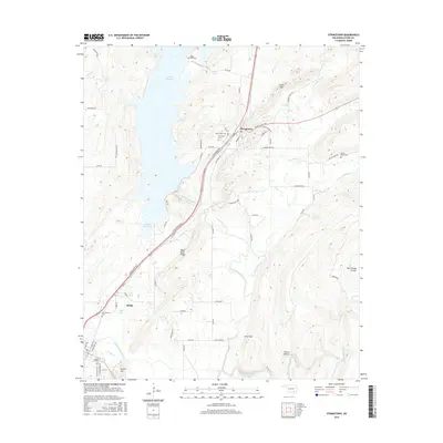 2016 Stringtown2016 Print · USGSThe hill country of Atoka County is captured here in the mid-2010s, showing a landscape defined by the Atoka Reservoir and the rise of Black Knob Ridge. Researchers can trace local heritage through numerous sites like the Confederate Cem, Boggy Bend Cem, and Grants Gap.
 - 2019 Map of Stringtown, 2019 Print
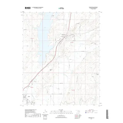 2019 Stringtown2019 Print · USGSAtoka County during the late twenty-teens is characterized by its creek-fed valleys and the sprawling Atoka Reservoir. Researchers can trace local heritage through numerous burial sites like Stringtown Cem and Boggy Bend Cem, or explore the terrain around Black Knob Ridge.
 - 2022 Map of Stringtown, 2022 Print
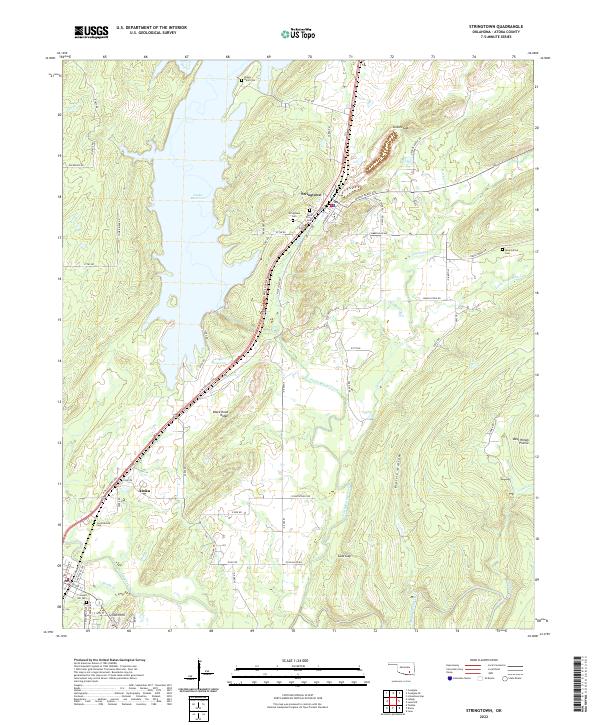 2022 Stringtown2022 Print · USGSAtoka County's reservoir-side landscapes and the town of Stringtown are captured here in the early twenty-first century. Genealogists and local historians can trace family roots through several local sites, including Confederate Cem, Mount Olive Cem, and the prominent Black Knob Ridge.
End of results
Showing maps 1-11 of 11
Top cities near Stringtown
- Atoka historical maps
- Coalgate historical maps
- Tushka historical maps
- Lehigh historical maps
- Caney historical maps
- Phillips historical maps
Frequently asked questions
- What are the different types of historical maps available for Stringtown?
- What is the oldest map of Stringtown?
- Where can I purchase historical maps of Stringtown for my home or office?
- Where can I download high-res historical maps of Stringtown?
- Are there historical topographic maps available for Stringtown?
- Is there historical aerial imagery available for Stringtown?
- Where are historical maps of Stringtown sourced from?