Old Maps of Moravia, Oklahoma for Academic Research
Study the evolution of Moravia with 10 high-resolution historic maps. Whether you're teaching, researching, or modeling changes in land use, these maps provide essential visual documentation of urban, environmental, and geographic change.
- Analyze long-term change: Track patterns in development, transportation, and natural features.
- Ideal for environmental or urban studies: Support academic projects with primary historical map data.
- Use in the classroom or lab: Educators and researchers rely on these maps to bring historical context to life.
These maps are a powerful tool for teaching, research, and visualizing how Moravia has changed over the decades.
Moravia, OK maps
(10)- 1955 Map of Clinton, 1964 Print
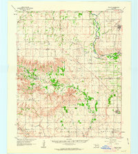
 1955 Clinton1964 Print · USGSWestern Oklahoma during the mid-century transition shows a landscape of growing reservoirs and active military flight lines. Genealogists and historians can locate rural landmarks such as Mountain View Church, Berlin School, and the Riverside Indian School Reserve.3 unique versions available
 - 1957 Map of Clinton
 1957 Clinton1957 Print · USGSWestern Oklahoma in the mid-fifties is captured here as a landscape of river-valley settlements and emerging energy fields. Genealogists can trace family roots through numerous rural landmarks like the Swapping Back Indian School, Hebron Church, and the Riverside Indian School Reserve.
 - 1961 Map of Willow, 1963 Print
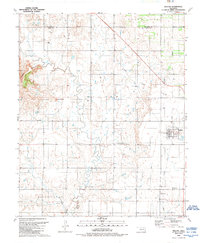
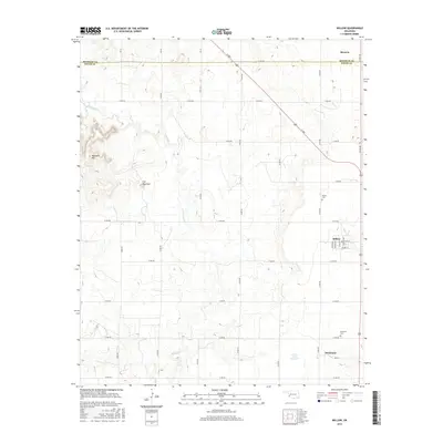
 1961 Willow1963 Print · USGSWestern Oklahoma in the early sixties remains a landscape of rail-connected farming towns and winding river forks. Family historians can trace rural roots through Deer Creek Ch, Carter Cem, and the path of the Missouri Kansas Texas railroad.2 unique versions available
 - 1985 Map of Elk City
 1985 Elk City1985 Print · USGSWestern Oklahoma in the 1980s is defined by its railroad junctions, emerging aviation hubs, and the winding North Fork Red River. Genealogists and local historians can trace the foundations of Sayre and Elk City, alongside landmarks like Clinton-Sherman Airport and Quartz Mountain State Park.2 unique versions available
 - 1989 Map of Willow
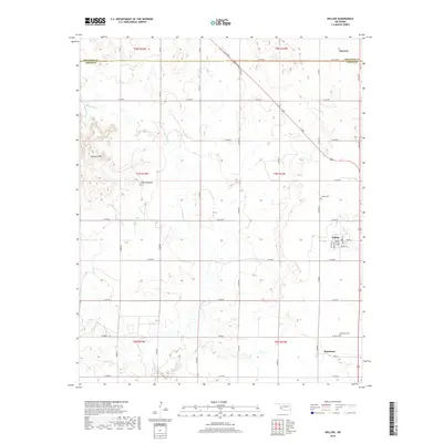
 1989 Willow1989 Print · USGSGreer County near the Beckham County line is shown here in the late eighties as an active energy corridor. Genealogists and local historians can trace family locations near Willow, Brinkman, and the Willow Cem, or locate the numerous wells across the Bloomington Oil and Gas Field.
 - 2010 Map of Willow, 2010 Print
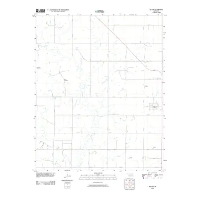 2010 Willow2010 Print · USGSCovers Moravia, including Willow, Brinkman, and other nearby areas
 - 2012 Map of Willow, 2012 Print
 2012 Willow2012 Print · USGSCovers Moravia, including Willow, Brinkman, and other nearby areas
 - 2016 Map of Willow, 2016 Print
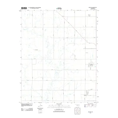
 2016 Willow2016 Print · USGSCovers Moravia, including Willow, Brinkman, and other nearby areas
 - 2018 Map of Willow, 2018 Print
 2018 Willow2018 Print · USGSCovers Moravia, including Willow, Brinkman, and other nearby areas
 - 2022 Map of Willow, 2022 Print
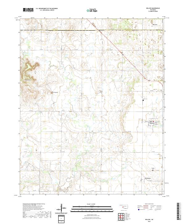 2022 Willow2022 Print · USGSSouthwestern Oklahoma's agricultural heartland is documented here, showing the rural communities of Willow and Brinkman. Researchers can trace family history through the Willow Cem and Brinkman Cem or locate the prominent Haystack Mtn.
End of results
Showing maps 1-10 of 10
Top cities near Moravia
- Elk City historical maps
- Sayre historical maps
- Granite historical maps
- Carter historical maps
- Willow historical maps
Frequently asked questions
- What are the different types of historical maps available for Moravia?
- What is the oldest map of Moravia?
- Where can I purchase historical maps of Moravia for my home or office?
- Where can I download high-res historical maps of Moravia?
- Are there historical topographic maps available for Moravia?
- Is there historical aerial imagery available for Moravia?
- Where are historical maps of Moravia sourced from?