Old Maps of Alden, Oklahoma for Metal Detecting
Plan your next treasure hunt with 11 historic maps of Alden. Find old homesites, ghost towns, trails, and gathering spots that may be lost to time — perfect for identifying promising metal detecting locations.
- Locate forgotten sites: Uncover places like long-lost settlements, abandoned rail lines, or gathering spots.
- Plan better hunts: Use map overlays combined with LiDAR or satellite views to narrow in on historically rich areas.
- Made for detectorists: Thousands of hobbyists use these maps to discover relics, coins, and hidden history.
Use these historic maps to boost your research and find new opportunities beneath the surface of Alden.
Alden, OK maps
(11)- 1950 Map of Saddle Mountain, 1953 Print
 1950 Saddle Mountain1953 Print · USGSSouthwestern Oklahoma in the early fifties shows a landscape where high granite peaks meet missionary history and early wildlife conservation. Researchers can trace rural school locations like Dixie Sch or find the remote Saddle Mountain Indian Mission and Kiowa Mission tucked among the foothills.2 unique versions available
 - 1955 Map of Lawton, 1958 Print
 1955 Lawton1958 Print · USGSSouthwestern Oklahoma and North Texas are shown here in the mid-fifties, dominated by the Wichita Mountains and the vital Red River watershed. Genealogists and historians can trace the foundations of Lawton alongside rural landmarks like Rainy Mountain Church and Pleasant Hill School.5 unique versions available
 - 1956 Map of Alden, 1959 Print
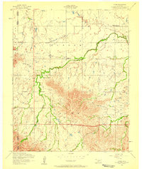 1956 Alden1959 Print · USGSCaddo County's agricultural prairies meet the rising slopes of the Wichita Mountains during the mid-fifties. Researchers can locate family landmarks like the Alden School, Cache Indian Mission, and the Greenfield Church near East Cache Creek.2 unique versions available
 - 1956 Map of Saddle Mountain, 1960 Print
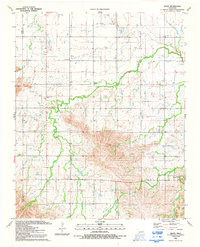
 1956 Saddle Mountain1960 Print · USGSThe Wichita Mountains and surrounding plains are captured in the mid-fifties, featuring the Wichita Mountains Wildlife Refuge and its dramatic peaks. Genealogy researchers can trace community roots at the Cache Indian Mission, Alden School, and Meers Cemetery.
 - 1981 Map of Lawton
 1981 Lawton1981 Print · USGSSouthwestern Oklahoma in the early eighties shows a landscape shaped by military history and the rising peaks of the Wichitas. Researchers can trace the boundaries of the Fort Sill Military Reservation and locate early settlements like Meers, Chattanooga, and Richards Spur.
 - 1991 Map of Alden, 1992 Print
 1991 Alden1992 Print · USGSCaddo County in the early nineties shows a landscape of active oil production and established rural faith communities. Researchers can trace the layout of the Oil Field and find family landmarks like Greenfield Ch, Cache Indian Mission, and Camp George Thomas.
 - 2010 Map of Alden, 2010 Print
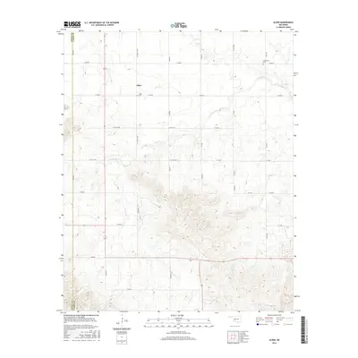
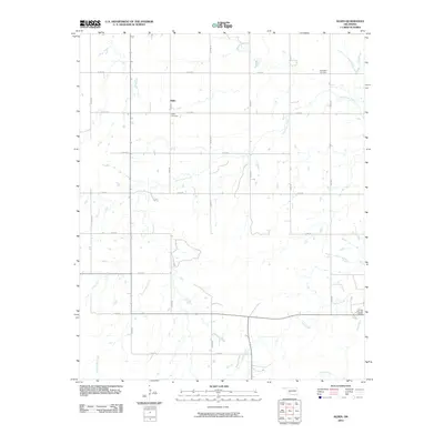 2010 Alden2010 Print · USGSCovers Alden, including Caddo County, Kiowa County, and other nearby areas
 - 2012 Map of Alden, 2012 Print
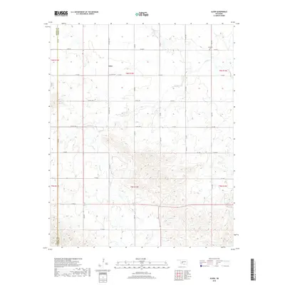
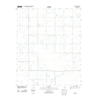 2012 Alden2012 Print · USGSCovers Alden, including Caddo County, Kiowa County, and other nearby areas
 - 2016 Map of Alden, 2016 Print
 2016 Alden2016 Print · USGSCovers Alden, including Caddo County, Kiowa County, and other nearby areas
 - 2018 Map of Alden, 2018 Print
 2018 Alden2018 Print · USGSCovers Alden, including Caddo County, Kiowa County, and other nearby areas
 - 2022 Map of Alden, 2022 Print
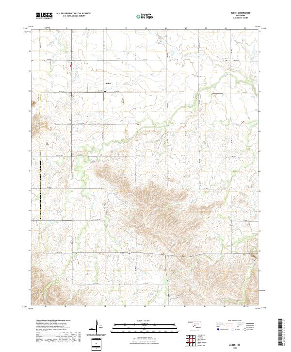 2022 Alden2022 Print · USGSThe rural landscape of Caddo County comes into focus in this recent survey of the prairie near the Kiowa County border. Genealogists and local historians can trace family roots through Alden Cem and Greenfield Cem or follow the winding courses of E Cache Cr and Tahoe Cr.
End of results
Showing maps 1-11 of 11
Top cities near Alden
- Carnegie historical maps
- Apache historical maps
- Mountain View historical maps
- Fort Cobb historical maps
Frequently asked questions
- What are the different types of historical maps available for Alden?
- What is the oldest map of Alden?
- Where can I purchase historical maps of Alden for my home or office?
- Where can I download high-res historical maps of Alden?
- Are there historical topographic maps available for Alden?
- Is there historical aerial imagery available for Alden?
- Where are historical maps of Alden sourced from?