Old Maps of Hinton, Oklahoma for Hiking & Exploration
Hike through history with 24 historic maps of Hinton. Explore old trails, ghost towns, and forgotten backroads — perfect for outdoor adventurers and local explorers.
- Rediscover forgotten places: Map out old mining camps, roads, and footpaths that no longer exist on modern maps.
- Layer with modern tools: Combine with LiDAR or satellite views to plan hikes through historical terrain.
- Made for exploration: Popular among hikers, overlanders, and local history lovers.
Use these maps to find adventure and explore the hidden past of Hinton.
Hinton, OK maps
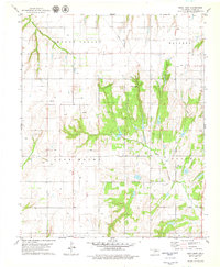
(24)- 1942 Map of Geary
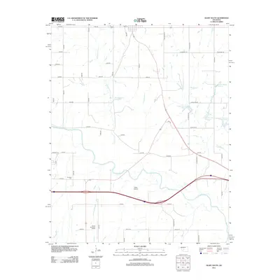
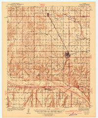 1942 Geary1942 Print · USGSCentral Oklahoma's agrarian heartland comes alive in this pre-war survey of the winding Canadian River valley. Genealogists and local historians can map out dozens of rural school sites like Victor Sch and Richland Sch alongside the busy Chicago Rock Island and Pacific rail line.3 unique versions available
 - 1951 Map of Binger, 1952 Print
 1951 Binger1952 Print · USGSCaddo County's agricultural and social landscape is captured here in the early fifties, showing a dense web of rural school districts and crossroads. Researchers can trace family roots through numerous sites like Sickles Sch, Hinton Cem, and the Indian Community House.3 unique versions available
 - 1955 Map of Clinton, 1964 Print
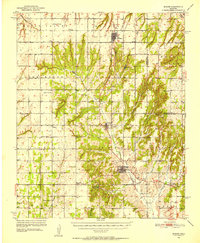
 1955 Clinton1964 Print · USGSWestern Oklahoma during the mid-century transition shows a landscape of growing reservoirs and active military flight lines. Genealogists and historians can locate rural landmarks such as Mountain View Church, Berlin School, and the Riverside Indian School Reserve.3 unique versions available
 - 1957 Map of Clinton
 1957 Clinton1957 Print · USGSWestern Oklahoma in the mid-fifties is captured here as a landscape of river-valley settlements and emerging energy fields. Genealogists can trace family roots through numerous rural landmarks like the Swapping Back Indian School, Hebron Church, and the Riverside Indian School Reserve.
 - 1979 Map of Hinton
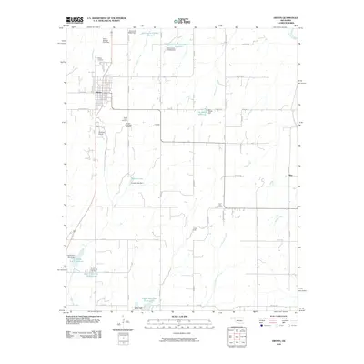
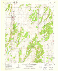 1979 Hinton1979 Print · USGSHinton and the surrounding Caddo County landscape are captured here in the late seventies as the town centered itself around the canyon systems. Researchers can trace ancestral sites at Hinton Cem and Sacred Heart Cem or locate the Old Railroad Grade.
 - 1979 Map of Geary South
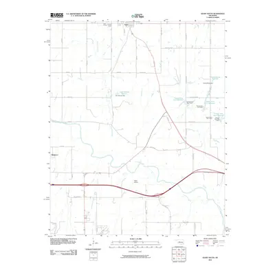
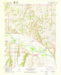 1979 Geary South1979 Print · USGSThe Canadian River valley in the late seventies reveals a landscape shaped by rail, river, and rural industry. Researchers can trace the Chicago Rock Island and Pacific rail lines, the Old Railroad Grade, and local sites like Graceland Cem and Hinton Junction.2 unique versions available
 - 1979 Map of Rock Mary
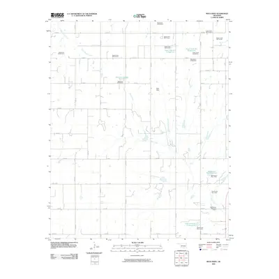
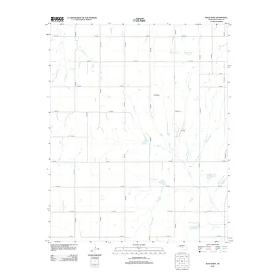
 1979 Rock Mary1979 Print · USGSCaddo County's agricultural and energy landscape comes into focus during the late seventies, showing the rural communities of Sickles and Ferns. You can trace the rugged topography of Rock Mary and locate historic local landmarks like the Cedar Valley Ch.2 unique versions available
 - 1985 Map of Watonga
 1985 Watonga1985 Print · USGSCentral Oklahoma in the mid-eighties shows a robust network of river-valley settlements and rural rail lines. Genealogists and historians can trace the footprint of Southwestern State College, the historic Fort Reno, and family-named landmarks like Dead Women Crossing.2 unique versions available
 - 1986 Map of Anadarko
 1986 Anadarko1986 Print · USGSThe Oklahoma plains around Anadarko are captured in the mid-1980s, showing the intersection of rail history and tribal heritage. Genealogists and historians can trace the Indian Treaty Boundary or locate old rail stops along the Burlington Northern Railroad and Atchison, Topeka and Santa Fe Railway.2 unique versions available
 - 2009 Map of Rock Mary, 2009 Print
 2009 Rock Mary2009 Print · USGSCovers Hinton, including Caddo County, United States, and other nearby areas
 - 2010 Map of Geary South, 2010 Print
 2010 Geary South2010 Print · USGSCovers Hinton, including Geary, Bridgeport, and other nearby areas
 - 2010 Map of Hinton, 2010 Print
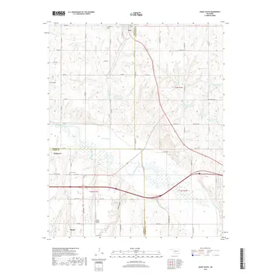
 2010 Hinton2010 Print · USGSCovers Hinton, including Niles, Canadian County, and other nearby areas
 - 2012 Map of Rock Mary, 2012 Print
 2012 Rock Mary2012 Print · USGSCovers Hinton, including Caddo County, United States, and other nearby areas
 - 2012 Map of Geary South, 2012 Print
 2012 Geary South2012 Print · USGSCovers Hinton, including Geary, Bridgeport, and other nearby areas
 - 2013 Map of Hinton, 2013 Print
 2013 Hinton2013 Print · USGSCovers Hinton, including Niles, Canadian County, and other nearby areas
 - 2016 Map of Rock Mary, 2016 Print
 2016 Rock Mary2016 Print · USGSCovers Hinton, including Caddo County, United States, and other nearby areas
 - 2016 Map of Hinton, 2016 Print
 2016 Hinton2016 Print · USGSCovers Hinton, including Niles, Canadian County, and other nearby areas
 - 2016 Map of Geary South, 2016 Print
 2016 Geary South2016 Print · USGSCovers Hinton, including Geary, Bridgeport, and other nearby areas
 - 2018 Map of Geary South, 2018 Print
 2018 Geary South2018 Print · USGSCovers Hinton, including Geary, Bridgeport, and other nearby areas
 - 2018 Map of Rock Mary, 2018 Print
 2018 Rock Mary2018 Print · USGSCovers Hinton, including Caddo County, United States, and other nearby areas
 - 2018 Map of Hinton, 2018 Print
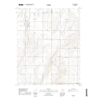 2018 Hinton2018 Print · USGSCovers Hinton, including Niles, Canadian County, and other nearby areas
 - 2022 Map of Rock Mary, 2022 Print
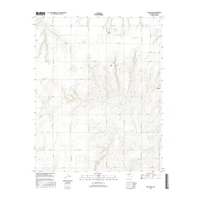
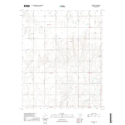
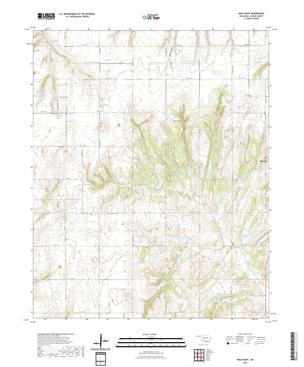 2022 Rock Mary2022 Print · USGSCaddo County's distinctive landmarks and rural water systems are documented in this contemporary survey of the area west of Hinton. Researchers can locate family-named features and local landmarks like Rock Mary, Smith Airpark, and the deep recesses of White Canyon.
 - 2022 Map of Hinton, 2022 Print
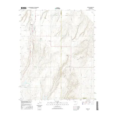
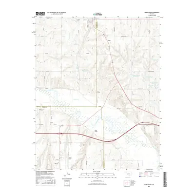
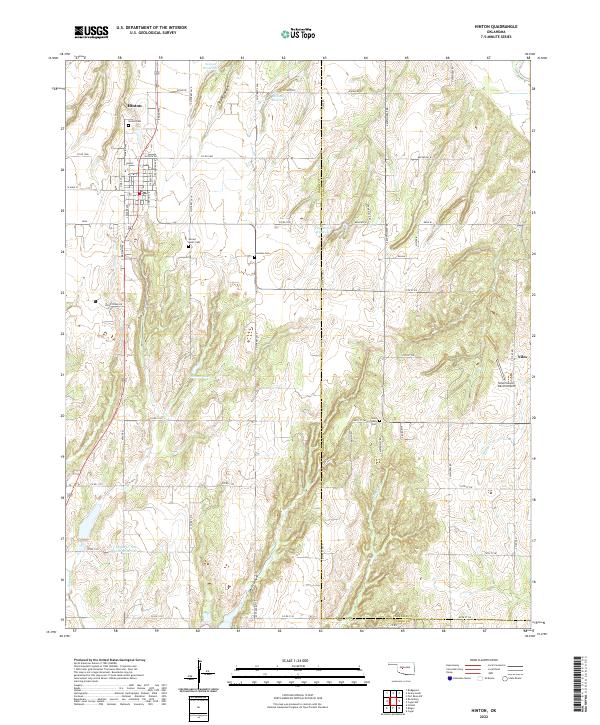 2022 Hinton2022 Print · USGSThe community of Hinton and the surrounding Caddo County farmland are captured here in the early 2020s. Researchers can locate several rural burial sites like Sacred Heart Cem and Saint Johns Cem, or trace the rugged breaks of Devils Canyon.
 - 2022 Map of Geary South, 2022 Print
 2022 Geary South2022 Print · USGSCentral Oklahoma's river-carved landscape is documented here, showing the convergence of three counties along the Canadian River. Genealogists and historians can trace local roots at Graceland Cem, follow the path of Old 66 Rd, or locate the Hinton Municipal Airport.
End of results
Showing maps 1-24 of 24
Top cities near Hinton
- Geary historical maps
- Calumet historical maps
- Binger historical maps
- Eakly historical maps
- Bridgeport historical maps
- Lookeba historical maps
Frequently asked questions
- What are the different types of historical maps available for Hinton?
- What is the oldest map of Hinton?
- Where can I purchase historical maps of Hinton for my home or office?
- Where can I download high-res historical maps of Hinton?
- Are there historical topographic maps available for Hinton?
- Is there historical aerial imagery available for Hinton?
- Where are historical maps of Hinton sourced from?