Old Maps of Three-Way Corner, Oklahoma for Metal Detecting
Plan your next treasure hunt with 10 historic maps of Three-Way Corner. Find old homesites, ghost towns, trails, and gathering spots that may be lost to time — perfect for identifying promising metal detecting locations.
- Locate forgotten sites: Uncover places like long-lost settlements, abandoned rail lines, or gathering spots.
- Plan better hunts: Use map overlays combined with LiDAR or satellite views to narrow in on historically rich areas.
- Made for detectorists: Thousands of hobbyists use these maps to discover relics, coins, and hidden history.
Use these historic maps to boost your research and find new opportunities beneath the surface of Three-Way Corner.
Three-Way Corner, OK maps
(10)- 1951 Map of Binger, 1952 Print
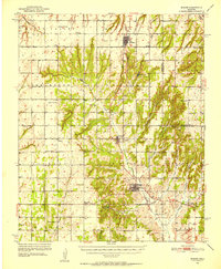 1951 Binger1952 Print · USGSCaddo County's agricultural and social landscape is captured here in the early fifties, showing a dense web of rural school districts and crossroads. Researchers can trace family roots through numerous sites like Sickles Sch, Hinton Cem, and the Indian Community House.3 unique versions available
 - 1955 Map of Clinton, 1964 Print
 1955 Clinton1964 Print · USGSWestern Oklahoma during the mid-century transition shows a landscape of growing reservoirs and active military flight lines. Genealogists and historians can locate rural landmarks such as Mountain View Church, Berlin School, and the Riverside Indian School Reserve.3 unique versions available
 - 1957 Map of Clinton
 1957 Clinton1957 Print · USGSWestern Oklahoma in the mid-fifties is captured here as a landscape of river-valley settlements and emerging energy fields. Genealogists can trace family roots through numerous rural landmarks like the Swapping Back Indian School, Hebron Church, and the Riverside Indian School Reserve.
 - 1979 Map of Sickles
 1979 Sickles1979 Print · USGSCaddo County's agricultural and energy heartland is captured here in the late seventies, showing the rural crossroads of the Southern Plains. Researchers can locate family landmarks like the Lookeba Cem, the Lookeba-Sickles Sch, and recreation sites near Hunt Lake.
 - 1986 Map of Anadarko
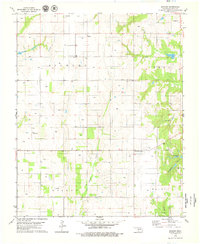
 1986 Anadarko1986 Print · USGSThe Oklahoma plains around Anadarko are captured in the mid-1980s, showing the intersection of rail history and tribal heritage. Genealogists and historians can trace the Indian Treaty Boundary or locate old rail stops along the Burlington Northern Railroad and Atchison, Topeka and Santa Fe Railway.2 unique versions available
 - 2009 Map of Sickles, 2009 Print
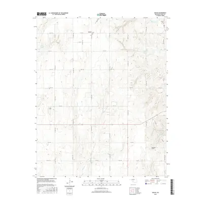
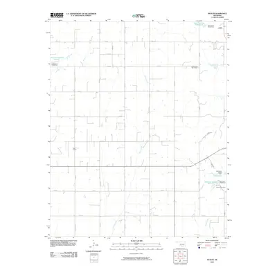 2009 Sickles2009 Print · USGSCovers Three-Way Corner, including Sickles, Caddo County, and other nearby areas
 - 2012 Map of Sickles, 2012 Print
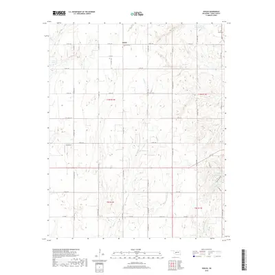
 2012 Sickles2012 Print · USGSCovers Three-Way Corner, including Sickles, Caddo County, and other nearby areas
 - 2016 Map of Sickles, 2016 Print
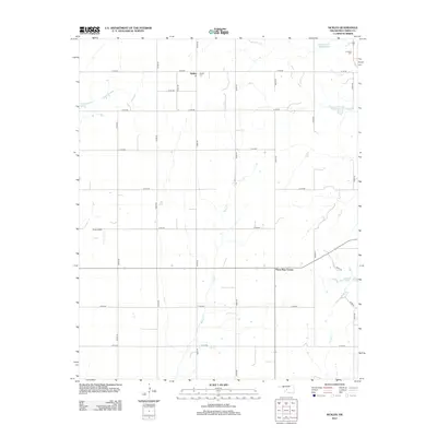
 2016 Sickles2016 Print · USGSCovers Three-Way Corner, including Sickles, Caddo County, and other nearby areas
 - 2018 Map of Sickles, 2018 Print
 2018 Sickles2018 Print · USGSCovers Three-Way Corner, including Sickles, Caddo County, and other nearby areas
 - 2022 Map of Sickles, 2022 Print
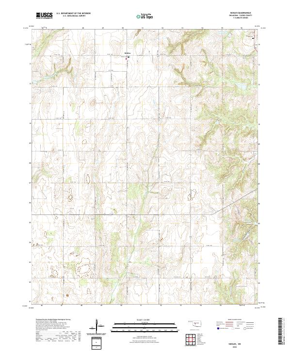 2022 Sickles2022 Print · USGSCaddo County's agricultural landscape is captured here in the early 2020s, showing the rural crossroads of Sickles and its surrounding homesteads. Genealogists can locate family sites near Sickles Cem or Lookeba Cem and trace the deep draws of Horseshoe Canyon.
End of results
Showing maps 1-10 of 10
Top cities near Three-Way Corner
- Anadarko historical maps
- Hinton historical maps
- Carnegie historical maps
- Fort Cobb historical maps
- Binger historical maps
- Gracemont historical maps
See more
Frequently asked questions
- What are the different types of historical maps available for Three-Way Corner?
- What is the oldest map of Three-Way Corner?
- Where can I purchase historical maps of Three-Way Corner for my home or office?
- Where can I download high-res historical maps of Three-Way Corner?
- Are there historical topographic maps available for Three-Way Corner?
- Is there historical aerial imagery available for Three-Way Corner?
- Where are historical maps of Three-Way Corner sourced from?