Old Maps of Hugo, Oklahoma for Academic Research
Study the evolution of Hugo with 38 high-resolution historic maps. Whether you're teaching, researching, or modeling changes in land use, these maps provide essential visual documentation of urban, environmental, and geographic change.
- Analyze long-term change: Track patterns in development, transportation, and natural features.
- Ideal for environmental or urban studies: Support academic projects with primary historical map data.
- Use in the classroom or lab: Educators and researchers rely on these maps to bring historical context to life.
These maps are a powerful tool for teaching, research, and visualizing how Hugo has changed over the decades.
Hugo, OK maps
(38)- 1901 Map of Antlers
 1901 Antlers1901 Print · USGSThe Choctaw Nation territory is captured here during the transitional years before Oklahoma statehood, when the railroad began to reshape the landscape. Genealogists and historians can trace early settlements like Mayhew, the site of Spencer Academy, and the path of the St. Louis and San Francisco line.
 - 1901 Map of Alikchi
 1901 Alikchi1901 Print · USGSChoctaw Nation territory is captured here just before the turn of the century, showing a landscape of river-fed valleys and early educational outposts. Researchers can trace the grounds of Old Spencer Academy, the site of Fort Towson, and the remote Alikchi settlement.5 unique versions available
 - 1903 Map of Paris
 1903 Paris1903 Print · USGSThe Red River borderlands of the Indian Territory and Texas are shown here at the start of the century. Genealogists and researchers can trace early settlements and social hubs like Grant, Oberlin, and the Camp Ground along the winding banks of the Red River.
 - 1912 Map of Antlers
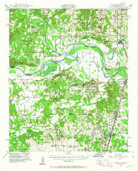
 1912 Antlers1912 Print · USGSSoutheastern Oklahoma’s river valleys and growing rail towns are captured here in the decade following statehood. Genealogists can trace family roots through numerous rural landmarks like Niles Store, the Asphalt Mine, and early school sites such as Timber Hill School.3 unique versions available
 - 1925 Map of Antlers
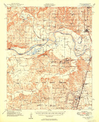
 1925 Antlers1925 Print · USGSSoutheastern Oklahoma's river valleys and rail lines are documented here in the years following statehood. Genealogists can trace family roots through numerous local landmarks like Armstrong Academy, the Asphalt Mine, and many rural sites like Nelson Chapel School.
 - 1948 Map of Grant, 1963 Print
 1948 Grant1963 Print · USGSThe Red River borderlands of Oklahoma and Texas are shown here in the late 1940s, featuring the extensive Camp Maxey Military Reservation. Researchers can trace the St Louis San Francisco Railway through Grant and locate dozens of local landmarks like Hills Chapel School and Goodland Cem.2 unique versions available
 - 1949 Map of Grant
 1949 Grant1949 Print · USGSThe Red River borderlands of Oklahoma and Texas are captured here just after the war, showing a rural landscape dominated by large river bends and military expansion. You can trace early community hubs like Grant and Arthur City or locate local landmarks like Hills Chapel School and Forest Chapel.2 unique versions available
 - 1950 Map of Mcalester
 1950 Mcalester1950 Print · USGSThe Ouachita Mountains and the coal country of Southeast Oklahoma are shown here in the late 1940s. Genealogists and historians can trace the rail-driven growth of McAlester, Wilburton, and Antlers alongside the rugged terrain of Kiamichi Mountain.2 unique versions available
 - 1951 Map of Shoals, 1952 Print
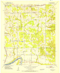 1951 Shoals1952 Print · USGSThe northern banks of the Red River are captured here in the early fifties, showing a rural community defined by its schools and rail lines. Genealogists can trace family landmarks like Shoat Springs Cem, Ervin Sch, and the settlement of Shoals.2 unique versions available
 - 1953 Map of Texarkana, 1964 Print
 1953 Texarkana1964 Print · USGSThe Texas-Arkansas borderlands are captured here in the mid-fifties, during a decade of massive military and hydraulic engineering projects. Genealogists and researchers can locate family landmarks like Old Boston Cem, Siloam Ch, and the vast Red River Arsenal.4 unique versions available
 - 1956 Map of Texarkana
 1956 Texarkana1956 Print · USGSThe Ark-La-Tex borderlands come alive in the mid-fifties, showing the transition from a rail-dependent rural economy to a post-war industrial landscape. Researchers can trace the massive Red River Ordnance Depot and find towns like Talco, Bogata, and Naples.
 - 1962 Map of McAlester
 1962 McAlester1962 Print · USGSSoutheastern Oklahoma and western Arkansas are shown here during the early sixties, a time of transition for the region's mountain communities and timberlands. Researchers can trace the paths of the Kansas City Southern RR through Heavener or locate settlements like Talihina and Broken Bow near the Kiamichi Mountains.2 unique versions available
 - 1965 Map of McAlester
 1965 McAlester1965 Print · USGSSoutheastern Oklahoma and western Arkansas appear here in the mid-1960s, showing the intersection of the timber industry and the growing reservoir system. Genealogists can trace family roots through settlements like Antlers, Idabel, and Kiowa or follow the historic routes of the Kansas City Southern Ry.3 unique versions available
 - 1969 Map of Hugo, 1971 Print
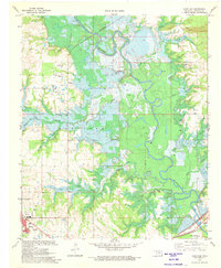
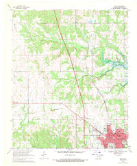 1969 Hugo1971 Print · USGSChoctaw County at the end of the sixties reveals a landscape balancing its rail-era roots with the new Indian Nation Turnpike. Genealogists and historians can trace family sites at Cooksville Cem, Oak Grove Ch, and the streets of Hugo.2 unique versions available
 - 1971 Map of Hugo Dam, 1973 Print
 1971 Hugo Dam1973 Print · USGSThe Kiamichi River valley was on the verge of change in the early seventies as the Hugo Dam began to reshape the landscape. Genealogists and historians can trace family-named sites like Messer Cem, Dixon Chapel Cem, and Nash Airport.
 - 1980 Map of Grant, 1981 Print
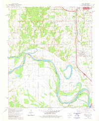 1980 Grant1981 Print · USGSChoctaw County at the turn of the 1980s shows the winding Red River valley as it marks the Oklahoma-Texas border. Genealogists and local historians can trace rural communities through landmarks like Goodland, Sweet Hill Cem, and Mt Pleasant Ch.
 - 1985 Map of Antlers
 1985 Antlers1985 Print · USGSSoutheastern Oklahoma’s timber and river country is captured here during the mid-eighties, centered on the crossroads at Antlers. Researchers can trace the Burlington Northern rail line through rural communities like Moyers and Jumbo, or locate the historic grounds of Fort Towson.2 unique versions available
 - 1985 Map of Paris
 1985 Paris1985 Print · USGSThe Red River Valley in the mid-eighties shows a landscape of military training grounds and rail-connected agricultural towns. Genealogists and historians can trace local landmarks like Allens Chapel Cem, the grounds of Camp Maxey, and the early footprint of Paris Junior College.
 - 1991 Map of Paris
 1991 Paris1991 Print · USGSNorthern Texas and southern Oklahoma meet along the Red River valley during the early nineties. Researchers can trace the rail networks of the Texas and Pacific RR and visit rural communities like Manchester, Sylvan, and Arthur City.
 - 2010 Map of Hugo, 2010 Print
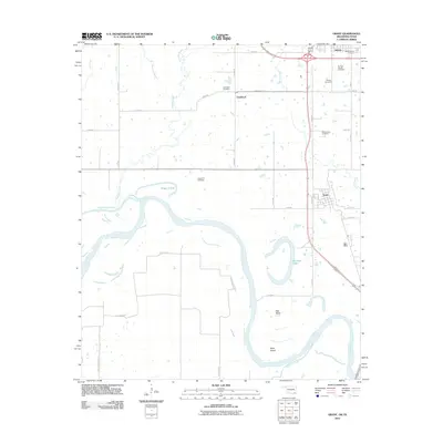
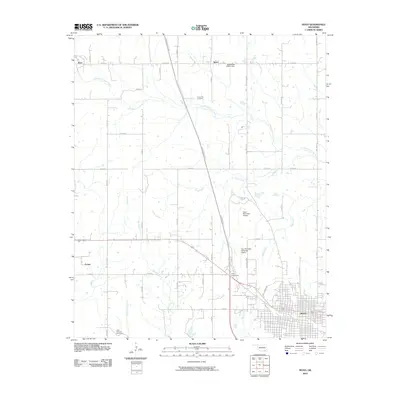 2010 Hugo2010 Print · USGSCovers Hugo, including Kent, Speer, and other nearby areas
 - 2010 Map of Hugo Dam, 2010 Print
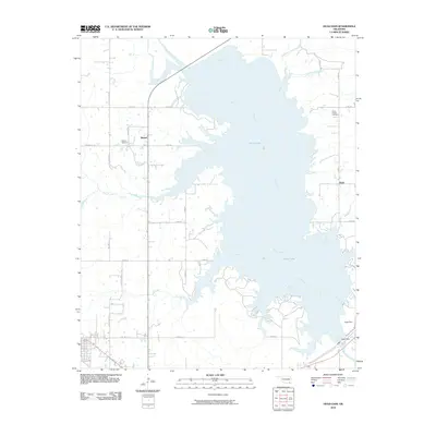 2010 Hugo Dam2010 Print · USGSCovers Hugo, including Sawyer, Virgil, and other nearby areas
 - 2010 Map of Shoals, 2010 Print
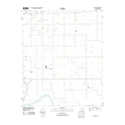 2010 Shoals2010 Print · USGSCovers Hugo, including Sawyer, Ord, and other nearby areas
 - 2012 Map of Grant, 2012 Print
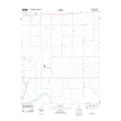
 2012 Grant2012 Print · USGSCovers Hugo, including Grant, Gay, and other nearby areas2 unique versions available
 - 2012 Map of Shoals, 2012 Print
 2012 Shoals2012 Print · USGSCovers Hugo, including Sawyer, Ord, and other nearby areas
 - 2013 Map of Hugo Dam, 2013 Print
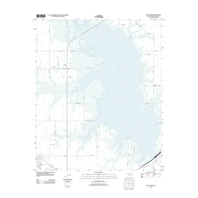 2013 Hugo Dam2013 Print · USGSCovers Hugo, including Sawyer, Virgil, and other nearby areas
Showing maps 1-25 of 38
Top cities near Hugo
- Antlers historical maps
- Fort Towson historical maps
- Sawyer historical maps
- Soper historical maps
- Rattan historical maps
- Grant historical maps
Frequently asked questions
- What are the different types of historical maps available for Hugo?
- What is the oldest map of Hugo?
- Where can I purchase historical maps of Hugo for my home or office?
- Where can I download high-res historical maps of Hugo?
- Are there historical topographic maps available for Hugo?
- Is there historical aerial imagery available for Hugo?
- Where are historical maps of Hugo sourced from?