Old Maps of Proposed - Bridgeview at Carrington, Norman for Metal Detecting
Plan your next treasure hunt with 18 historic maps of Proposed - Bridgeview at Carrington. Find old homesites, ghost towns, trails, and gathering spots that may be lost to time — perfect for identifying promising metal detecting locations.
- Locate forgotten sites: Uncover places like long-lost settlements, abandoned rail lines, or gathering spots.
- Plan better hunts: Use map overlays combined with LiDAR or satellite views to narrow in on historically rich areas.
- Made for detectorists: Thousands of hobbyists use these maps to discover relics, coins, and hidden history.
Use these historic maps to boost your research and find new opportunities beneath the surface of Proposed - Bridgeview at Carrington.
Proposed - Bridgeview at Carrington, Norman maps
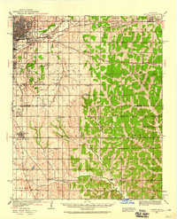
(18)- 1892 Map of Moore
 1892 Moore1892 Print · USGSCovers Proposed - Bridgeview at Carrington, including Oklahoma City, Norman, and other nearby areas
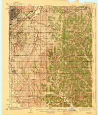
 - 1893 Map of Oklahoma City
 1893 Oklahoma City1893 Print · USGSCovers Proposed - Bridgeview at Carrington, including Oklahoma City, Norman, and other nearby areas
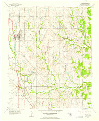
 - 1898 Map of Purcell
 1898 Purcell1898 Print · USGSCovers Proposed - Bridgeview at Carrington, including Oklahoma City, Norman, and other nearby areas
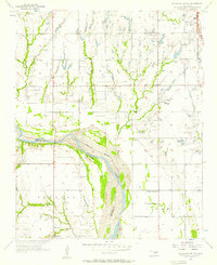
 - 1904 Map of Chickasha
 1904 Chickasha1904 Print · USGSCovers Proposed - Bridgeview at Carrington, including Oklahoma City, Norman, and other nearby areas4 unique versions available
 - 1934 Map of Moore, 1959 Print
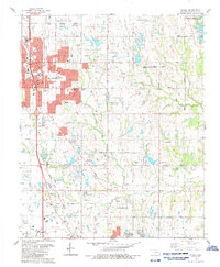
 1934 Moore1959 Print · USGSCovers Proposed - Bridgeview at Carrington, including Oklahoma City, Norman, and other nearby areas
 - 1938 Map of Moore
 1938 Moore1938 Print · USGSCovers Proposed - Bridgeview at Carrington, including Oklahoma City, Norman, and other nearby areas2 unique versions available
 - 1954 Map of Oklahoma City
 1954 Oklahoma City1954 Print · USGSCovers Proposed - Bridgeview at Carrington, including Oklahoma City, Norman, and other nearby areas
 - 1956 Map of Moore, 1957 Print
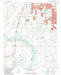
 1956 Moore1957 Print · USGSCovers Proposed - Bridgeview at Carrington, including Oklahoma City, Norman, and other nearby areas3 unique versions available
 - 1956 Map of Oklahoma City, 1957 Print
 1956 Oklahoma City1957 Print · USGSCovers Proposed - Bridgeview at Carrington, including Oklahoma City, Norman, and other nearby areas2 unique versions available
 - 1956 Map of Oklahoma City SE, 1957 Print
 1956 Oklahoma City SE1957 Print · USGSCovers Proposed - Bridgeview at Carrington, including Oklahoma City, Norman, and other nearby areas3 unique versions available
 - 1957 Map of Oklahoma City, 1969 Print
 1957 Oklahoma City1969 Print · USGSCovers Proposed - Bridgeview at Carrington, including Oklahoma City, Norman, and other nearby areas3 unique versions available
 - 1963 Map of Oklahoma City
 1963 Oklahoma City1963 Print · USGSCovers Proposed - Bridgeview at Carrington, including Oklahoma City, Norman, and other nearby areas
 - 1985 Map of Oklahoma City South
 1985 Oklahoma City South1985 Print · USGSCovers Proposed - Bridgeview at Carrington, including Oklahoma City, Norman, and other nearby areas2 unique versions available
 - 1986 Map of Moore
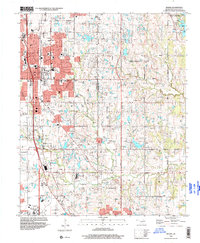
 1986 Moore1986 Print · USGSCovers Proposed - Bridgeview at Carrington, including Oklahoma City, Norman, and other nearby areas
 - 1986 Map of Oklahoma City SE
 1986 Oklahoma City SE1986 Print · USGSCovers Proposed - Bridgeview at Carrington, including Oklahoma City, Norman, and other nearby areas2 unique versions available
 - 1995 Map of Moore, 2000 Print
 1995 Moore2000 Print · USGSCovers Proposed - Bridgeview at Carrington, including Oklahoma City, Norman, and other nearby areas
 - 2022 Map of Moore, 2022 Print
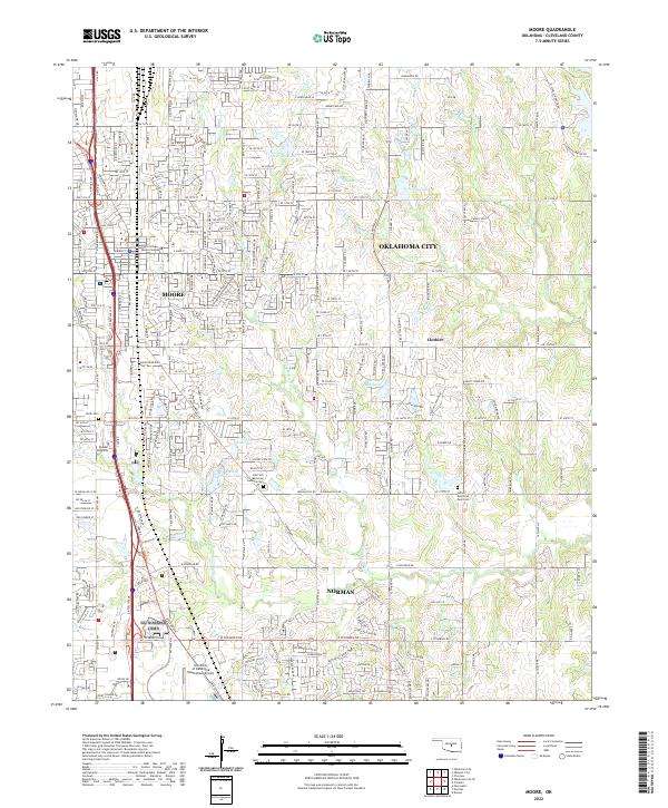 2022 Moore2022 Print · USGSCovers Proposed - Bridgeview at Carrington, including Oklahoma City, Norman, and other nearby areas
 - 2022 Map of Oklahoma City SE, 2022 Print
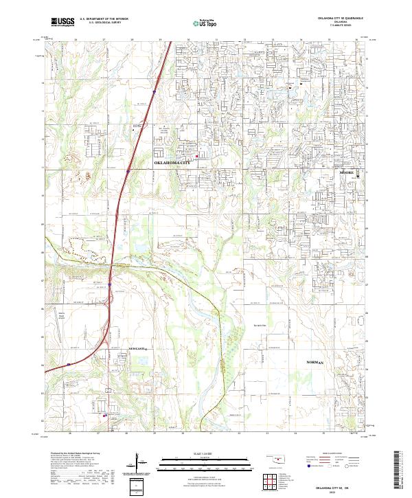 2022 Oklahoma City SE2022 Print · USGSCovers Proposed - Bridgeview at Carrington, including Oklahoma City, Norman, and other nearby areas
End of results
Showing maps 1-18 of 18
Frequently asked questions
- What are the different types of historical maps available for Proposed - Bridgeview at Carrington?
- What is the oldest map of Proposed - Bridgeview at Carrington?
- Where can I purchase historical maps of Proposed - Bridgeview at Carrington for my home or office?
- Where can I download high-res historical maps of Proposed - Bridgeview at Carrington?
- Are there historical topographic maps available for Proposed - Bridgeview at Carrington?
- Is there historical aerial imagery available for Proposed - Bridgeview at Carrington?
- Where are historical maps of Proposed - Bridgeview at Carrington sourced from?