2000s (21st Century) Maps of Cache, Oklahoma
Explore 20 historic maps of Cache from the 2000s (21st Century). These maps offer a rare glimpse into what life looked like during the 2000s — showing old roads, neighborhoods, homes, and landmarks that have changed or disappeared over time.
Whether you're researching your family's past, planning a metal detecting trip, or studying how Cache's landscape evolved across the 2000s, these high-resolution maps are a powerful tool for exploring the history of this region.
- Focus on a specific era: All maps on this page are from the 2000s, giving you a focused view of this time period.
- See what’s changed: Compare century-old streets, trails, and buildings to today's modern landscape using overlays and satellite layers.
- Research with precision: Use these maps for genealogy, historical research, land use analysis, or educational projects.
- View, download, or print: Maps are fully viewable online in high resolution, and can be downloaded or printed for your own records.
Start exploring Cache's history through authentic maps from the 2000s. This is your window into the past.
Cache, OK maps
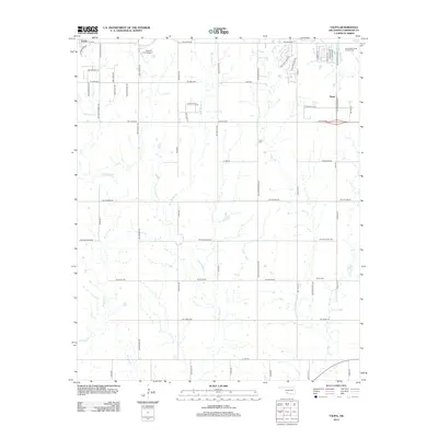
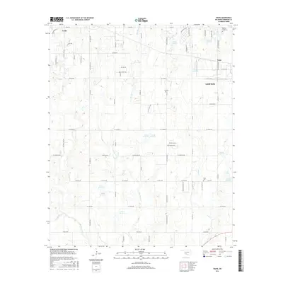
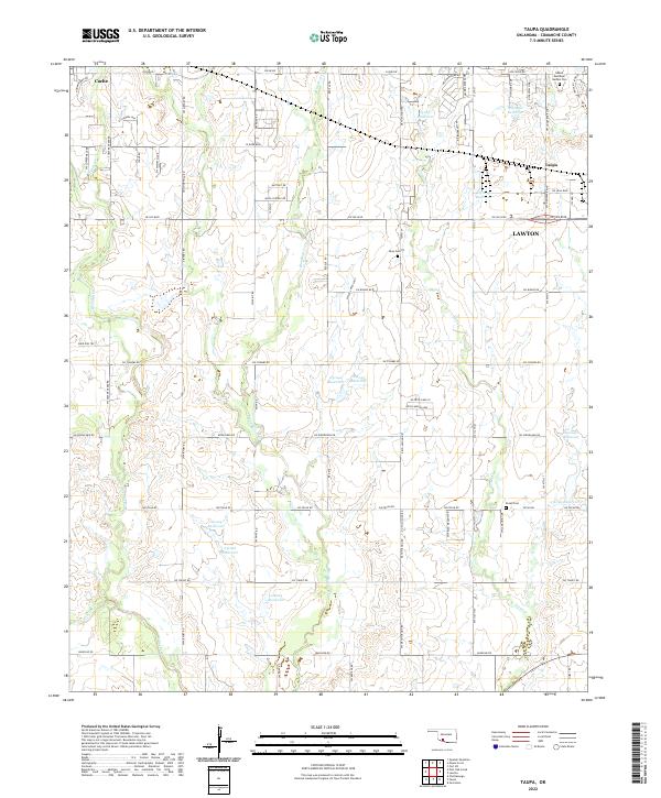
(20)- 2009 Map of Taupa, 2009 Print
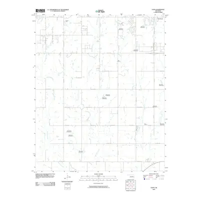 2009 Taupa2009 Print · USGSCovers Cache, including Lawton, Taupa, and other nearby areas
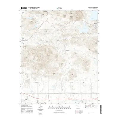
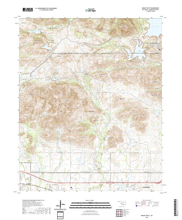
 - 2010 Map of Mount Scott, 2010 Print
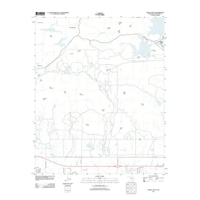
 2010 Mount Scott2010 Print · USGSCovers Cache, including Lawton, Medicine Park, and other nearby areas
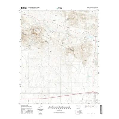
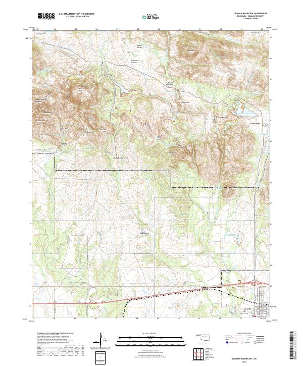
 - 2010 Map of Quanah Mountain, 2010 Print
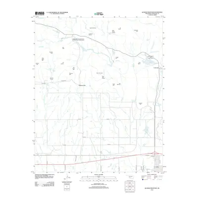
 2010 Quanah Mountain2010 Print · USGSCovers Cache, including Cache Wye, Indiahoma Wye, and other nearby areas
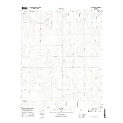
 - 2010 Map of Post Oak Creek, 2010 Print
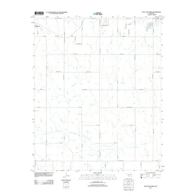
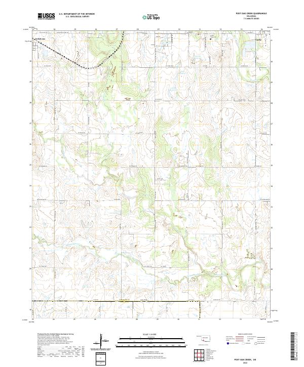
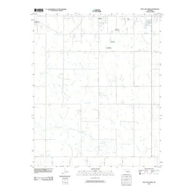 2010 Post Oak Creek2010 Print · USGSCovers Cache, including Indiahoma, Comanche County, and other nearby areas
 - 2012 Map of Quanah Mountain, 2012 Print
 2012 Quanah Mountain2012 Print · USGSCovers Cache, including Cache Wye, Indiahoma Wye, and other nearby areas
 - 2012 Map of Mount Scott, 2012 Print
 2012 Mount Scott2012 Print · USGSCovers Cache, including Lawton, Medicine Park, and other nearby areas
 - 2012 Map of Taupa, 2012 Print
 2012 Taupa2012 Print · USGSCovers Cache, including Lawton, Taupa, and other nearby areas
 - 2012 Map of Post Oak Creek, 2012 Print
 2012 Post Oak Creek2012 Print · USGSCovers Cache, including Indiahoma, Comanche County, and other nearby areas
 - 2016 Map of Taupa, 2016 Print
 2016 Taupa2016 Print · USGSCovers Cache, including Lawton, Taupa, and other nearby areas
 - 2016 Map of Mount Scott, 2016 Print
 2016 Mount Scott2016 Print · USGSCovers Cache, including Lawton, Medicine Park, and other nearby areas
 - 2016 Map of Quanah Mountain, 2016 Print
 2016 Quanah Mountain2016 Print · USGSCovers Cache, including Cache Wye, Indiahoma Wye, and other nearby areas
 - 2016 Map of Post Oak Creek, 2016 Print
 2016 Post Oak Creek2016 Print · USGSCovers Cache, including Indiahoma, Comanche County, and other nearby areas
 - 2018 Map of Mount Scott, 2018 Print
 2018 Mount Scott2018 Print · USGSCovers Cache, including Lawton, Medicine Park, and other nearby areas
 - 2018 Map of Taupa, 2018 Print
 2018 Taupa2018 Print · USGSCovers Cache, including Lawton, Taupa, and other nearby areas
 - 2018 Map of Quanah Mountain, 2018 Print
 2018 Quanah Mountain2018 Print · USGSCovers Cache, including Cache Wye, Indiahoma Wye, and other nearby areas
 - 2018 Map of Post Oak Creek, 2018 Print
 2018 Post Oak Creek2018 Print · USGSCovers Cache, including Indiahoma, Comanche County, and other nearby areas
 - 2022 Map of Taupa, 2022 Print
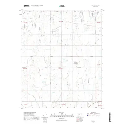
 2022 Taupa2022 Print · USGSSouthwestern Oklahoma near the town of Cache is mapped here during its modern development, showing the transition between rural prairie and the expanding reach of Lawton. Genealogists can locate family sites near Sunset Memorial Garden Cem or trace the lands around Pecan Cem and Deyo Cem.
 - 2022 Map of Post Oak Creek, 2022 Print
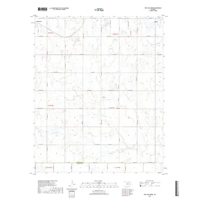
 2022 Post Oak Creek2022 Print · USGSThe rural expanse between Indiahoma and Cache is documented here during the early twenty-first century. Genealogists and local historians can locate the Cache Indian Cemetery and trace family-named routes like Mr Benson's Rd along Post Oak Creek.
 - 2022 Map of Mount Scott, 2022 Print
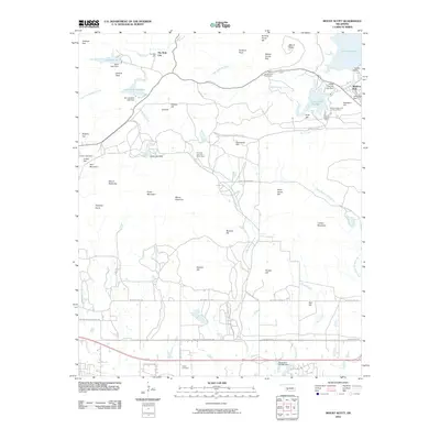
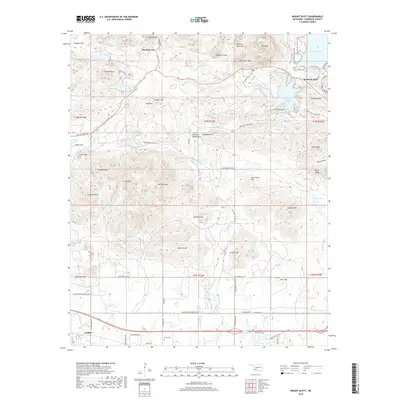
 2022 Mount Scott2022 Print · USGSThe granite peaks of the Wichita Mountains and the unique resort architecture of Medicine Park define this Oklahoma landscape. Researchers can trace the Military Res Boundary Line or locate sites like The Holy City, Cache Cem, and Mt Scott.
 - 2022 Map of Quanah Mountain, 2022 Print
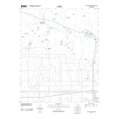
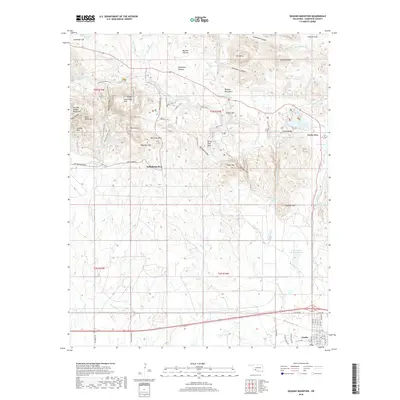
 2022 Quanah Mountain2022 Print · USGSThe Wichita Mountains in Comanche County are documented here in recent years, showing a landscape defined by rocky peaks and managed water reservoirs. Researchers can trace the layout of Cache or locate landmarks like Forty Foot Hole and Centennial Arch.
End of results
Showing maps 1-20 of 20
Top cities near Cache
- Lawton historical maps
- Geronimo historical maps
- Chattanooga historical maps
- Medicine Park historical maps
- Indiahoma historical maps
- Faxon historical maps
Frequently asked questions
- What are the different types of historical maps available for Cache?
- What is the oldest map of Cache?
- Where can I purchase historical maps of Cache for my home or office?
- Where can I download high-res historical maps of Cache?
- Are there historical topographic maps available for Cache?
- Is there historical aerial imagery available for Cache?
- Where are historical maps of Cache sourced from?