2000s (21st Century) Maps of Porter Hill, Oklahoma
Explore 5 historic maps of Porter Hill from the 2000s (21st Century). These maps offer a rare glimpse into what life looked like during the 2000s — showing old roads, neighborhoods, homes, and landmarks that have changed or disappeared over time.
Whether you're researching your family's past, planning a metal detecting trip, or studying how Porter Hill's landscape evolved across the 2000s, these high-resolution maps are a powerful tool for exploring the history of this region.
- Focus on a specific era: All maps on this page are from the 2000s, giving you a focused view of this time period.
- See what’s changed: Compare century-old streets, trails, and buildings to today's modern landscape using overlays and satellite layers.
- Research with precision: Use these maps for genealogy, historical research, land use analysis, or educational projects.
- View, download, or print: Maps are fully viewable online in high resolution, and can be downloaded or printed for your own records.
Start exploring Porter Hill's history through authentic maps from the 2000s. This is your window into the past.
Porter Hill, OK maps
(5)- 2010 Map of Richards Spur, 2010 Print
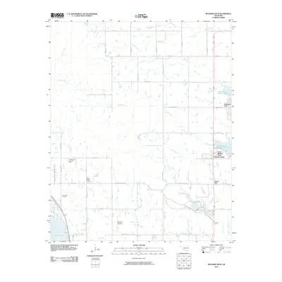 2010 Richards Spur2010 Print · USGSCovers Porter Hill, including Green Meadow Acres, Edgewater Park, and other nearby areas
 - 2012 Map of Richards Spur, 2012 Print
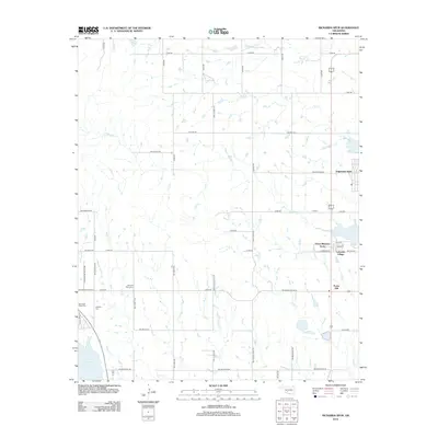 2012 Richards Spur2012 Print · USGSCovers Porter Hill, including Green Meadow Acres, Edgewater Park, and other nearby areas
 - 2016 Map of Richards Spur, 2016 Print
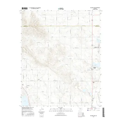 2016 Richards Spur2016 Print · USGSCovers Porter Hill, including Green Meadow Acres, Edgewater Park, and other nearby areas
 - 2018 Map of Richards Spur, 2018 Print
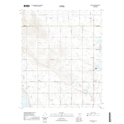 2018 Richards Spur2018 Print · USGSCovers Porter Hill, including Green Meadow Acres, Edgewater Park, and other nearby areas
 - 2022 Map of Richards Spur, 2022 Print
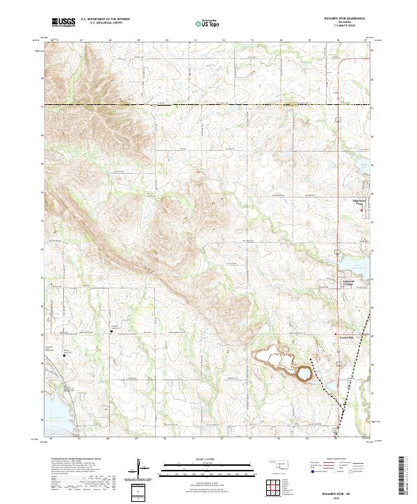 2022 Richards Spur2022 Print · USGSNorth of Lawton in the early 2020s, the boundary between Comanche and Caddo counties is defined by the expansive waters of Lake Ellsworth and Lake Lawtonka. Genealogists and local researchers can pinpoint family burial sites like Paradise Valley Cem and Mountain Scott Cem amidst the residential growth at Lakeside Village.
End of results
Showing maps 1-5 of 5
Top cities near Porter Hill
- Lawton historical maps
- Cache historical maps
- Apache historical maps
- Elgin historical maps
- Cyril historical maps
- Fletcher historical maps
See more
Frequently asked questions
- What are the different types of historical maps available for Porter Hill?
- What is the oldest map of Porter Hill?
- Where can I purchase historical maps of Porter Hill for my home or office?
- Where can I download high-res historical maps of Porter Hill?
- Are there historical topographic maps available for Porter Hill?
- Is there historical aerial imagery available for Porter Hill?
- Where are historical maps of Porter Hill sourced from?