Old Maps of Aron, Oklahoma for Metal Detecting
Plan your next treasure hunt with 12 historic maps of Aron. Find old homesites, ghost towns, trails, and gathering spots that may be lost to time — perfect for identifying promising metal detecting locations.
- Locate forgotten sites: Uncover places like long-lost settlements, abandoned rail lines, or gathering spots.
- Plan better hunts: Use map overlays combined with LiDAR or satellite views to narrow in on historically rich areas.
- Made for detectorists: Thousands of hobbyists use these maps to discover relics, coins, and hidden history.
Use these historic maps to boost your research and find new opportunities beneath the surface of Aron.
Aron, OK maps
(12)- 1929 Map of Stroud, 1972 Print
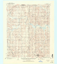 1929 Stroud1972 Print · USGSCentral Oklahoma is captured here in the late twenties, showing the intersection of early highway travel and deep-rooted rural communities. Researchers can trace historic schools and rail lines, including the Sac and Fox Sch, Paden, and the legendary Highway No 66.
 - 1932 Map of Stroud
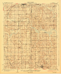 1932 Stroud1932 Print · USGSCentral Oklahoma at the start of the 1930s reveals a landscape shaped by former territorial boundaries and a dense network of rural schools. Genealogists and historians can trace family roots through landmarks like Sac and Fox Sch, Arlington, and the many country schools such as Pettiquah Sch.2 unique versions available
 - 1954 Map of Oklahoma City
 1954 Oklahoma City1954 Print · USGSOklahoma City and its surrounding counties are captured here in the early fifties during a period of significant postwar growth. Researchers can trace the development of the Turner Turnpike and locate aviation hubs like Tinker Field or Will Rogers Field.
 - 1957 Map of Oklahoma City, 1969 Print
 1957 Oklahoma City1969 Print · USGSCentral Oklahoma is captured here in a period of significant mid-century growth and industrialization. Researchers can trace family roots through numerous rural markers like Memory Lane Cem, New Hope School, and the sprawling grounds of Tinker Air Force Base.3 unique versions available
 - 1963 Map of Oklahoma City
 1963 Oklahoma City1963 Print · USGSCentral Oklahoma in the early sixties showcases a landscape of rapid suburban growth and established oil production. Researchers can trace historic rail lines like the Chicago Rock Island and Pacific RR or locate rural landmarks such as Mayflower School and Bethel Church.
 - 1974 Map of Ritts Junction, 1977 Print
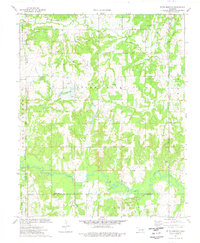 1974 Ritts Junction1977 Print · USGSThe area surrounding Ritts Junction is shown in the mid-seventies, defined by the winding Deep Fork and a heavy industrial footprint. Genealogists can locate family-named sites like Hosey Cem and Big Pond Cem or the Little Creek Ch near the rail line.
 - 1990 Map of Bristow
 1990 Bristow1990 Print · USGSCentral Oklahoma's township and range grid is on full display in the 1990s, anchored by the crossroads at Bristow and Sapulpa. Researchers can trace old community lines and regional landmarks from Heyburn Reservoir to the historic streets of Boley.
 - 2010 Map of Ritts Junction, 2010 Print
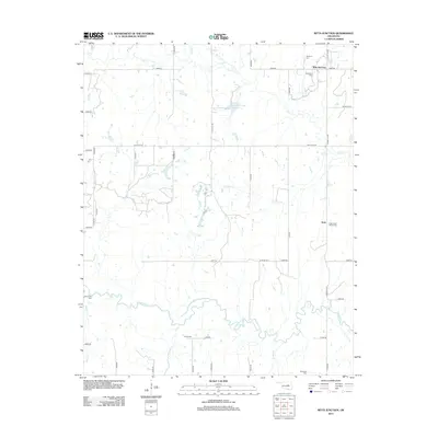
 2010 Ritts Junction2010 Print · USGSCovers Aron, including Stroud, Ritts Junction, and other nearby areas
 - 2012 Map of Ritts Junction, 2012 Print
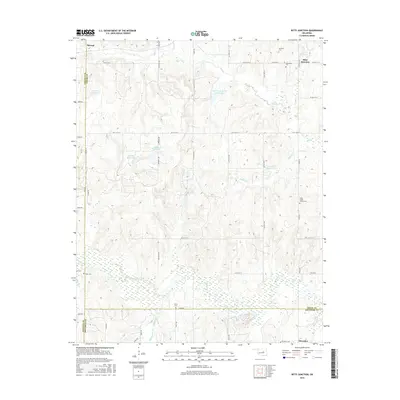
 2012 Ritts Junction2012 Print · USGSCovers Aron, including Stroud, Ritts Junction, and other nearby areas
 - 2016 Map of Ritts Junction, 2016 Print
 2016 Ritts Junction2016 Print · USGSCovers Aron, including Stroud, Ritts Junction, and other nearby areas
 - 2018 Map of Ritts Junction, 2018 Print
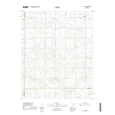 2018 Ritts Junction2018 Print · USGSCovers Aron, including Stroud, Ritts Junction, and other nearby areas
 - 2022 Map of Ritts Junction, 2022 Print
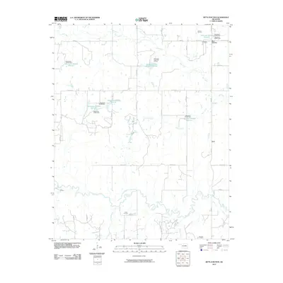
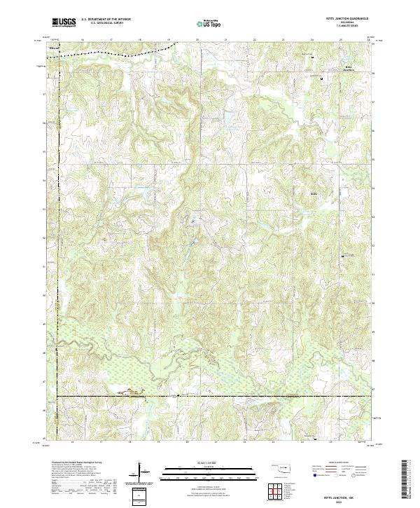 2022 Ritts Junction2022 Print · USGSThe rural Oklahoma borderlands of Creek County come into focus in this modern survey, showing the landscape before recent developments. Genealogists can locate several family and community burial sites like Mutteloke Cem, Lane Cem, and the settlement of Slick.
End of results
Showing maps 1-12 of 12
Top cities near Aron
- Bristow historical maps
- Prague historical maps
- Boley historical maps
- Depew historical maps
- Paden historical maps
- Castle historical maps
See more
Frequently asked questions
- What are the different types of historical maps available for Aron?
- What is the oldest map of Aron?
- Where can I purchase historical maps of Aron for my home or office?
- Where can I download high-res historical maps of Aron?
- Are there historical topographic maps available for Aron?
- Is there historical aerial imagery available for Aron?
- Where are historical maps of Aron sourced from?