Old Maps of Bristow, Oklahoma for Hiking & Exploration
Hike through history with 18 historic maps of Bristow. Explore old trails, ghost towns, and forgotten backroads — perfect for outdoor adventurers and local explorers.
- Rediscover forgotten places: Map out old mining camps, roads, and footpaths that no longer exist on modern maps.
- Layer with modern tools: Combine with LiDAR or satellite views to plan hikes through historical terrain.
- Made for exploration: Popular among hikers, overlanders, and local history lovers.
Use these maps to find adventure and explore the hidden past of Bristow.
Bristow, OK maps
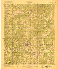
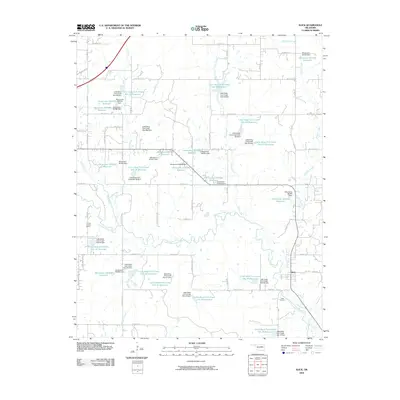
(18)- 1901 Map of Nuyaka
 1901 Nuyaka1901 Print · USGSIndian Territory within the Creek Nation was undergoing rapid change in the late 19th century as railroads connected once-remote outposts. Researchers can trace early settlements and schools like Nuyaka Mission, Bristow, and the crossroads at Smiths Store before Oklahoma reached statehood.4 unique versions available
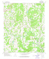
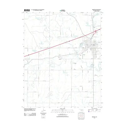
 - 1916 Map of Bristow
 1916 Bristow1916 Print · USGSBristow and its surrounding Creek County townships appear here during the early oil boom years of the mid-1910s. Researchers can locate dozens of country schools and unique landmarks like the Indian Dance Grounds and the industrial Oil Tank Farm.5 unique versions available
 - 1954 Map of Oklahoma City
 1954 Oklahoma City1954 Print · USGSOklahoma City and its surrounding counties are captured here in the early fifties during a period of significant postwar growth. Researchers can trace the development of the Turner Turnpike and locate aviation hubs like Tinker Field or Will Rogers Field.
 - 1957 Map of Oklahoma City, 1969 Print
 1957 Oklahoma City1969 Print · USGSCentral Oklahoma is captured here in a period of significant mid-century growth and industrialization. Researchers can trace family roots through numerous rural markers like Memory Lane Cem, New Hope School, and the sprawling grounds of Tinker Air Force Base.3 unique versions available
 - 1963 Map of Oklahoma City
 1963 Oklahoma City1963 Print · USGSCentral Oklahoma in the early sixties showcases a landscape of rapid suburban growth and established oil production. Researchers can trace historic rail lines like the Chicago Rock Island and Pacific RR or locate rural landmarks such as Mayflower School and Bethel Church.
 - 1973 Map of Slick, 1975 Print
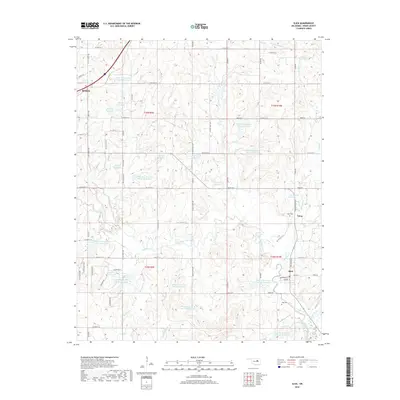
 1973 Slick1975 Print · USGSCreek County in the early seventies shows a landscape where petroleum production and historic transit routes meet. You can trace the Old Railroad Grade near Slick, locate the Land Mark Ch, and explore the sprawling Oil and Gas Field infrastructure.2 unique versions available
 - 1973 Map of Bristow, 1976 Print
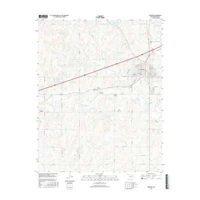
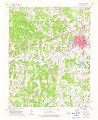 1973 Bristow1976 Print · USGSThe oil-rich landscape of Creek County is captured here in the early seventies as energy production and interstate travel shaped the region. Researchers can locate family landmarks like Durrant Cem, trace the rail lines of the St Louis-San Francisco, or study the footprint of Edison Sch.
 - 1990 Map of Bristow
 1990 Bristow1990 Print · USGSCentral Oklahoma's township and range grid is on full display in the 1990s, anchored by the crossroads at Bristow and Sapulpa. Researchers can trace old community lines and regional landmarks from Heyburn Reservoir to the historic streets of Boley.
 - 2009 Map of Bristow, 2009 Print
 2009 Bristow2009 Print · USGSCovers Bristow, including Depew, Pulaski, and other nearby areas
 - 2009 Map of Slick, 2009 Print
 2009 Slick2009 Print · USGSCovers Bristow, including Slick, Tabor, and other nearby areas
 - 2012 Map of Bristow, 2012 Print
 2012 Bristow2012 Print · USGSCovers Bristow, including Depew, Pulaski, and other nearby areas
 - 2012 Map of Slick, 2012 Print
 2012 Slick2012 Print · USGSCovers Bristow, including Slick, Tabor, and other nearby areas
 - 2016 Map of Slick, 2016 Print
 2016 Slick2016 Print · USGSCovers Bristow, including Slick, Tabor, and other nearby areas
 - 2016 Map of Bristow, 2016 Print
 2016 Bristow2016 Print · USGSCovers Bristow, including Depew, Pulaski, and other nearby areas
 - 2018 Map of Slick, 2018 Print
 2018 Slick2018 Print · USGSCovers Bristow, including Slick, Tabor, and other nearby areas
 - 2018 Map of Bristow, 2018 Print
 2018 Bristow2018 Print · USGSCovers Bristow, including Depew, Pulaski, and other nearby areas
 - 2022 Map of Bristow, 2022 Print
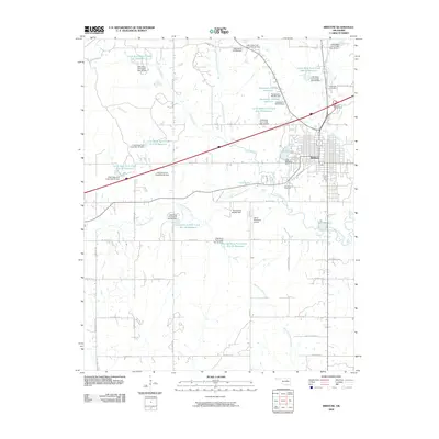
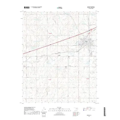
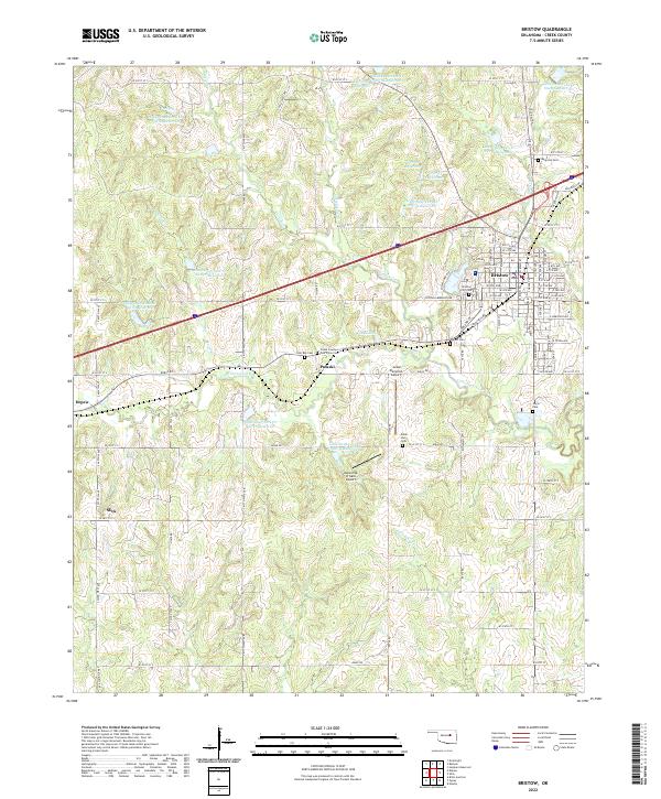 2022 Bristow2022 Print · USGSBristow and the surrounding Oklahoma countryside are captured here in the early twenty-first century as modern transit corridors intersect historical paths. Researchers can locate family burial sites at Magnolia Cemetery or Poor Boy Cemetery and trace the original route of Old Hwy 66.
 - 2022 Map of Slick, 2022 Print
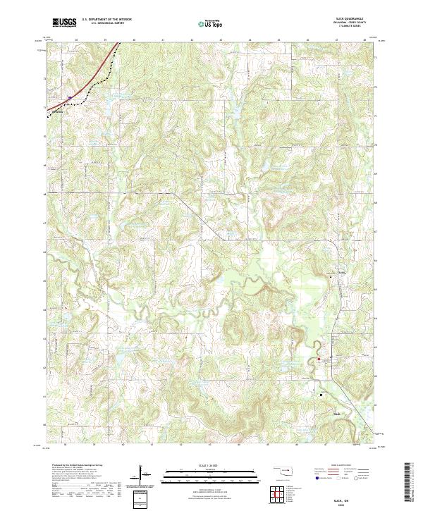 2022 Slick2022 Print · USGSSlick and the surrounding Creek County countryside are shown here in the early twenty-first century. Genealogists and local historians can locate Tabor Cem and Falls Cem, or trace the legacy of the Ozark Trl near Bristow.
End of results
Showing maps 1-18 of 18
Top cities near Bristow
- Sapulpa historical maps
- Drumright historical maps
- Kellyville historical maps
- Depew historical maps
- Slick historical maps
- Shamrock historical maps
Frequently asked questions
- What are the different types of historical maps available for Bristow?
- What is the oldest map of Bristow?
- Where can I purchase historical maps of Bristow for my home or office?
- Where can I download high-res historical maps of Bristow?
- Are there historical topographic maps available for Bristow?
- Is there historical aerial imagery available for Bristow?
- Where are historical maps of Bristow sourced from?