Old Maps of Mannford, Oklahoma for Hiking & Exploration
Hike through history with 41 historic maps of Mannford. Explore old trails, ghost towns, and forgotten backroads — perfect for outdoor adventurers and local explorers.
- Rediscover forgotten places: Map out old mining camps, roads, and footpaths that no longer exist on modern maps.
- Layer with modern tools: Combine with LiDAR or satellite views to plan hikes through historical terrain.
- Made for exploration: Popular among hikers, overlanders, and local history lovers.
Use these maps to find adventure and explore the hidden past of Mannford.
Mannford, OK maps
(41)- 1912 Map of Hominy, 1960 Print
 1912 Hominy1960 Print · USGSNortheastern Oklahoma comes alive in this pre-reservoir survey, documenting the river-valley settlements and tribal lands of the early statehood era. Genealogists can locate dozens of country schools and sites like Black Dog (Indian Village) or the early Oil City Barnsdall P O.
 - 1915 Map of Hominy
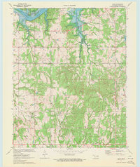
 1915 Hominy1915 Print · USGSOsage and Creek counties come to life in the years before the Great War, showing a landscape defined by river confluences and the expansion of the rail industry. Genealogists can locate early settlements like Black Dog and schools like Dripping Spring School or Sunset School.2 unique versions available
 - 1955 Map of Enid, 1966 Print
 1955 Enid1966 Print · USGSNorth-central Oklahoma's transition from open plains to the blackjack hills of the Osage Indian Reservation is captured in the mid-1950s. Researchers can trace the development of the Naval Reserve Oil Field, the grounds of Vance AFB, and the early footprints of Tulsa and Stillwater.4 unique versions available
 - 1958 Map of Enid
 1958 Enid1958 Print · USGSNorthern Oklahoma is mapped here in the late fifties, showcasing a dense network of petroleum production and historic tribal lands. Researchers can trace the legacy of the Osage Indian Reservation, early energy hubs like the Cushing Oil Field, and the Chilocco Indian Agricultural School.2 unique versions available
 - 1958 Map of Keystone Dam, 1959 Print
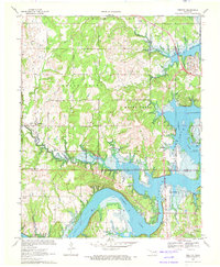
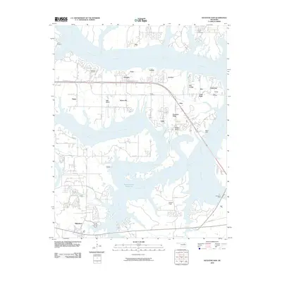
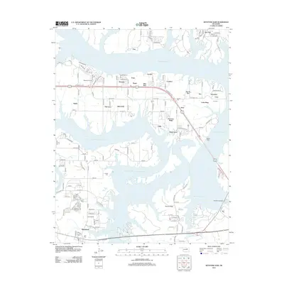
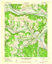 1958 Keystone Dam1959 Print · USGSOklahoma's river valleys underwent a massive transformation in the late fifties as the Keystone Dam Under Construction project began. Researchers can trace the original locations of Prue, Appalachia, and Keystone along with family-named sites like Dixie Cem.4 unique versions available
 - 1958 Map of Mannford SE, 1959 Print
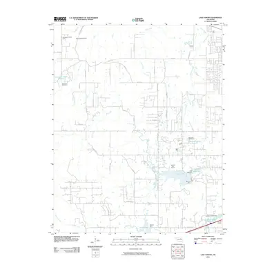
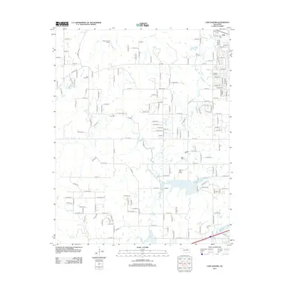
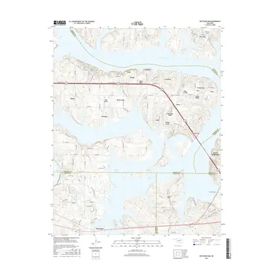
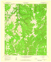 1958 Mannford SE1959 Print · USGSCreek County and the outskirts of Tulsa are shown here in the late fifties, just before the Keystone Reservoir reshaped the valley. Researchers can trace the original paths of Salt Creek and find rural landmarks like Dripping Springs Ch and the Mannford Oil Field.3 unique versions available
 - 1958 Map of Wekiwa, 1959 Print
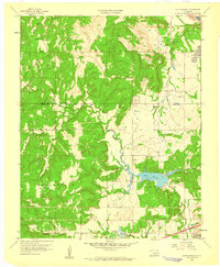
 1958 Wekiwa1959 Print · USGSThe Arkansas River valley of the late 1950s was a landscape defined by the Osage Indian Reservation, heavy oil production, and vital rail lines. Genealogists and local historians can trace the foundations of Fisher and Wekiwa, along with rural landmarks like Anderson Sch and Fisher Ch.5 unique versions available
 - 1959 Map of Lake Sahoma, 1960 Print
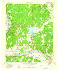
 1959 Lake Sahoma1960 Print · USGSCreek County at the close of the 1950s shows a landscape defined by the intersection of the burgeoning petroleum industry and rural community life. Trace the early development of the Turnpike Road (Toll) and locate historical sites like Pretty Water Sch and the Kellyville Oil Field.4 unique versions available
 - 1970 Map of Terlton, 1972 Print
 1970 Terlton1972 Print · USGSNear the convergence of Pawnee and Creek counties in the early 1970s, this map shows a landscape shaped by petroleum and the rising waters of the Keystone Reservoir. Trace the Old Indian Territory Oklahoma Territory Boundary alongside Terlton and the many Oil Wells that defined the local economy.2 unique versions available
 - 1970 Map of Olive, 1972 Print
 1970 Olive1972 Print · USGSCreek County at the start of the 1970s shows a landscape defined by the Cimarron River and the expanding oil industry. Trace local genealogy and industry through sites like New Friendship Cem, Silver City, and the local OIL FIELD.3 unique versions available
 - 1990 Map of Keystone Lake
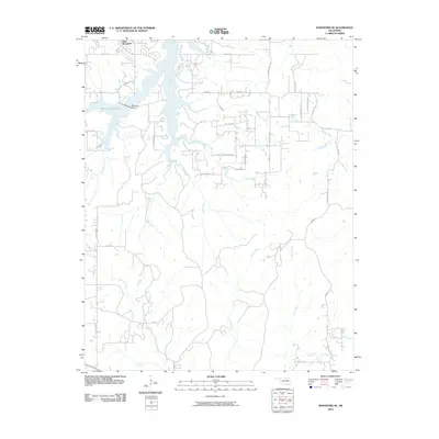
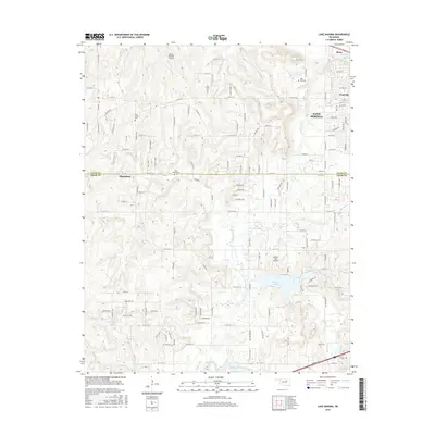
 1990 Keystone Lake1990 Print · USGSNorth-central Oklahoma's landscape is captured here in the 1990s as the vast waters of Keystone Lake meet the Osage Indian Reservation. Researchers can trace old rail corridors like the St Louis-San Francisco Railway and find local landmarks such as Pawnee Bill State Park or the Oil Field at Oilton.
 - 2009 Map of Terlton, 2009 Print
 2009 Terlton2009 Print · USGSCovers Mannford, including Westport, Terlton, and other nearby areas
 - 2009 Map of Olive, 2009 Print
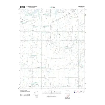 2009 Olive2009 Print · USGSCovers Mannford, including Lawrence Creek, Silver City, and other nearby areas
 - 2010 Map of Lake Sahoma, 2010 Print
 2010 Lake Sahoma2010 Print · USGSCovers Mannford, including Sapulpa, Sand Springs, and other nearby areas
 - 2010 Map of Wekiwa, 2010 Print
 2010 Wekiwa2010 Print · USGSCovers Mannford, including Sand Springs, Westport, and other nearby areas
 - 2010 Map of Mannford SE, 2010 Print
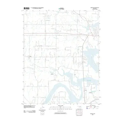
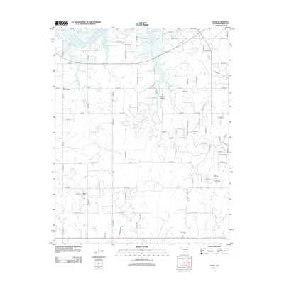
 2010 Mannford SE2010 Print · USGSCovers Mannford, including Creek County, Tulsa County, and other nearby areas
 - 2010 Map of Keystone Dam, 2010 Print
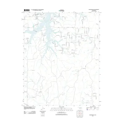
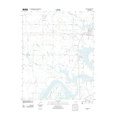
 2010 Keystone Dam2010 Print · USGSCovers Mannford, including Sand Springs, Sand Creek, and other nearby areas
 - 2012 Map of Mannford SE, 2012 Print
 2012 Mannford SE2012 Print · USGSCovers Mannford, including Creek County, Tulsa County, and other nearby areas
 - 2012 Map of Lake Sahoma, 2012 Print
 2012 Lake Sahoma2012 Print · USGSCovers Mannford, including Sapulpa, Sand Springs, and other nearby areas
 - 2012 Map of Olive, 2012 Print
 2012 Olive2012 Print · USGSCovers Mannford, including Lawrence Creek, Silver City, and other nearby areas
 - 2012 Map of Keystone Dam, 2012 Print
 2012 Keystone Dam2012 Print · USGSCovers Mannford, including Sand Springs, Sand Creek, and other nearby areas
 - 2012 Map of Wekiwa, 2012 Print
 2012 Wekiwa2012 Print · USGSCovers Mannford, including Sand Springs, Westport, and other nearby areas
 - 2012 Map of Terlton, 2012 Print
 2012 Terlton2012 Print · USGSCovers Mannford, including Westport, Terlton, and other nearby areas
 - 2016 Map of Keystone Dam, 2016 Print
 2016 Keystone Dam2016 Print · USGSCovers Mannford, including Sand Springs, Sand Creek, and other nearby areas
 - 2016 Map of Lake Sahoma, 2016 Print
 2016 Lake Sahoma2016 Print · USGSCovers Mannford, including Sapulpa, Sand Springs, and other nearby areas
Showing maps 1-25 of 41
Top cities near Mannford
- Sapulpa historical maps
- Sand Springs historical maps
- Skiatook historical maps
- Cleveland historical maps
- Drumright historical maps
- Mounds historical maps
See more
Frequently asked questions
- What are the different types of historical maps available for Mannford?
- What is the oldest map of Mannford?
- Where can I purchase historical maps of Mannford for my home or office?
- Where can I download high-res historical maps of Mannford?
- Are there historical topographic maps available for Mannford?
- Is there historical aerial imagery available for Mannford?
- Where are historical maps of Mannford sourced from?