Old Maps of Sapulpa, Oklahoma for Metal Detecting
Plan your next treasure hunt with 36 historic maps of Sapulpa. Find old homesites, ghost towns, trails, and gathering spots that may be lost to time — perfect for identifying promising metal detecting locations.
- Locate forgotten sites: Uncover places like long-lost settlements, abandoned rail lines, or gathering spots.
- Plan better hunts: Use map overlays combined with LiDAR or satellite views to narrow in on historically rich areas.
- Made for detectorists: Thousands of hobbyists use these maps to discover relics, coins, and hidden history.
Use these historic maps to boost your research and find new opportunities beneath the surface of Sapulpa.
Sapulpa, OK maps
(36)- 1901 Map of Nuyaka
 1901 Nuyaka1901 Print · USGSIndian Territory within the Creek Nation was undergoing rapid change in the late 19th century as railroads connected once-remote outposts. Researchers can trace early settlements and schools like Nuyaka Mission, Bristow, and the crossroads at Smiths Store before Oklahoma reached statehood.4 unique versions available
 - 1912 Map of Hominy, 1960 Print
 1912 Hominy1960 Print · USGSNortheastern Oklahoma comes alive in this pre-reservoir survey, documenting the river-valley settlements and tribal lands of the early statehood era. Genealogists can locate dozens of country schools and sites like Black Dog (Indian Village) or the early Oil City Barnsdall P O.
 - 1914 Map of Kiefer
 1914 Kiefer1914 Print · USGSCreek and Tulsa Counties are seen here during the height of the early oil boom, centered on the rail junctions and tank farms. Researchers can trace the development of petroleum infrastructure near Glenpool or locate vanished country schools like Blackout Forest School and Locust Hill School.2 unique versions available
 - 1915 Map of Hominy
 1915 Hominy1915 Print · USGSOsage and Creek counties come to life in the years before the Great War, showing a landscape defined by river confluences and the expansion of the rail industry. Genealogists can locate early settlements like Black Dog and schools like Dripping Spring School or Sunset School.2 unique versions available
 - 1916 Map of Kiefer
 1916 Kiefer1916 Print · USGSCreek County at the height of the early oil boom years is captured here in fine detail. Genealogists can trace the rural landscape through family-named schools like Crowson School, Bluebell School, and the Louisiana Baptist Church.3 unique versions available
 - 1954 Map of Oklahoma City
 1954 Oklahoma City1954 Print · USGSOklahoma City and its surrounding counties are captured here in the early fifties during a period of significant postwar growth. Researchers can trace the development of the Turner Turnpike and locate aviation hubs like Tinker Field or Will Rogers Field.
 - 1955 Map of Enid, 1966 Print
 1955 Enid1966 Print · USGSNorth-central Oklahoma's transition from open plains to the blackjack hills of the Osage Indian Reservation is captured in the mid-1950s. Researchers can trace the development of the Naval Reserve Oil Field, the grounds of Vance AFB, and the early footprints of Tulsa and Stillwater.4 unique versions available
 - 1956 Map of Sapulpa North, 1957 Print
 1956 Sapulpa North1957 Print · USGSSapulpa and southwest Tulsa are caught in a period of industrial and suburban expansion during the mid-fifties. Researchers can trace the path of the Tulsa Sapulpa Union railroad past legacy sites like Little Cussetah Ch, Bowden, and the Oil Refinery.4 unique versions available
 - 1957 Map of Oklahoma City, 1969 Print
 1957 Oklahoma City1969 Print · USGSCentral Oklahoma is captured here in a period of significant mid-century growth and industrialization. Researchers can trace family roots through numerous rural markers like Memory Lane Cem, New Hope School, and the sprawling grounds of Tinker Air Force Base.3 unique versions available
 - 1958 Map of Enid
 1958 Enid1958 Print · USGSNorthern Oklahoma is mapped here in the late fifties, showcasing a dense network of petroleum production and historic tribal lands. Researchers can trace the legacy of the Osage Indian Reservation, early energy hubs like the Cushing Oil Field, and the Chilocco Indian Agricultural School.2 unique versions available
 - 1958 Map of Sapulpa South, 1959 Print
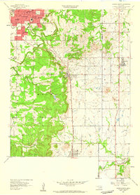 1958 Sapulpa South1959 Print · USGSThe Sapulpa area south of Tulsa comes alive in the late fifties, showcasing an era of oil production and established community life. Researchers can trace the development of Kiefer and Glenpool, alongside rural landmarks like Picket Chapel and Twin Mounds Cem.5 unique versions available
 - 1959 Map of Lake Sahoma, 1960 Print
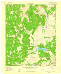 1959 Lake Sahoma1960 Print · USGSCreek County at the close of the 1950s shows a landscape defined by the intersection of the burgeoning petroleum industry and rural community life. Trace the early development of the Turnpike Road (Toll) and locate historical sites like Pretty Water Sch and the Kellyville Oil Field.4 unique versions available
 - 1963 Map of Oklahoma City
 1963 Oklahoma City1963 Print · USGSCentral Oklahoma in the early sixties showcases a landscape of rapid suburban growth and established oil production. Researchers can trace historic rail lines like the Chicago Rock Island and Pacific RR or locate rural landmarks such as Mayflower School and Bethel Church.
 - 1972 Map of Kellyville, 1973 Print
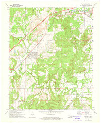 1972 Kellyville1973 Print · USGSCreek County at the start of the 1970s reveals a landscape defined by petroleum production and mid-century transit corridors. Genealogists and local researchers can locate the Felix Cem, rural sites like Picket Ch, and the extensive oil field surrounding Kellyville.2 unique versions available
 - 1990 Map of Keystone Lake
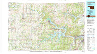 1990 Keystone Lake1990 Print · USGSNorth-central Oklahoma's landscape is captured here in the 1990s as the vast waters of Keystone Lake meet the Osage Indian Reservation. Researchers can trace old rail corridors like the St Louis-San Francisco Railway and find local landmarks such as Pawnee Bill State Park or the Oil Field at Oilton.
 - 1990 Map of Bristow
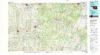 1990 Bristow1990 Print · USGSCentral Oklahoma's township and range grid is on full display in the 1990s, anchored by the crossroads at Bristow and Sapulpa. Researchers can trace old community lines and regional landmarks from Heyburn Reservoir to the historic streets of Boley.
 - 2010 Map of Sapulpa South, 2010 Print
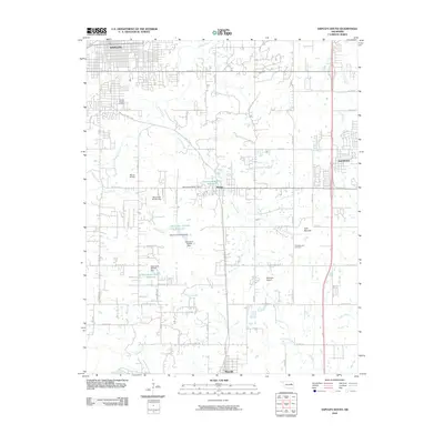 2010 Sapulpa South2010 Print · USGSCreek County south of the city is captured here during a period of modern growth and rural continuity. Researchers can trace family history at South Heights Cemetery or explore the landscape around Kiefer, Twin Mounds, and Mounds.
 - 2010 Map of Lake Sahoma, 2010 Print
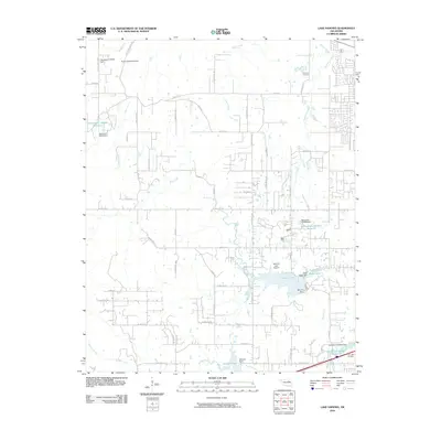 2010 Lake Sahoma2010 Print · USGSSapulpa and the surrounding Oklahoma countryside are captured here in the early twenty-first century, showing a landscape of reservoirs and rural aviation. Researchers can locate Post Oak Cemetery, trace the drainage of Euchee Creek, and find the Sahoma Lake Airport near the city's edge.
 - 2010 Map of Sapulpa North, 2010 Print
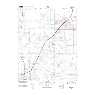 2010 Sapulpa North2010 Print · USGSSapulpa and the southern fringes of Tulsa are documented here during a period of significant suburban and industrial transition. You can trace the development of older settlements like Bowden and Red Fork alongside newer infrastructure like the Sapulpa Interchange and Camp Parthenia.
 - 2010 Map of Kellyville, 2010 Print
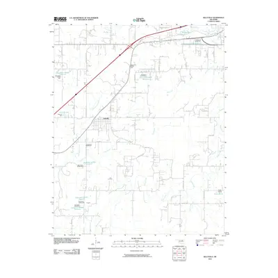 2010 Kellyville2010 Print · USGSKellyville and the surrounding Creek County countryside are shown here at the start of the 2010s. Researchers can locate the Felix Cemetery and trace the many reservoirs and small communities like Skagway, Jean, and Picket Prairie.
 - 2012 Map of Kellyville, 2012 Print
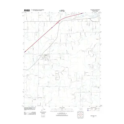 2012 Kellyville2012 Print · USGSCreek County at the start of the 2010s reveals a landscape deeply connected to its local heritage and family lineages. Genealogists and historians can trace significant family landmarks such as the Baker Family Cem, Willie Tiger Cem, and Pickett Cem.
 - 2012 Map of Lake Sahoma, 2012 Print
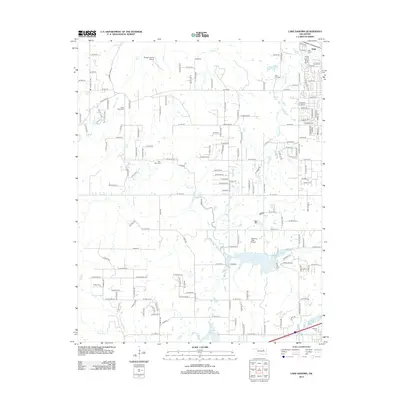 2012 Lake Sahoma2012 Print · USGSSapulpa and the Creek County reservoir lands are captured in the early twenty-first century, showing a landscape of small lakes and rural homesteads. Genealogists and local historians can locate several historic burial sites, including Fairview Cem and Tiger Bone Cem, alongside the runways of Sahoma Lake Airport.
 - 2012 Map of Sapulpa North, 2012 Print
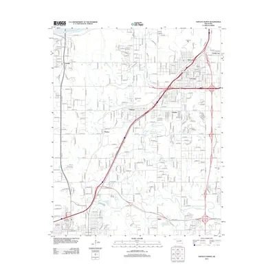 2012 Sapulpa North2012 Print · USGSThe northern outskirts of Tulsa and the approach to Sapulpa are documented here during a period of significant suburban and industrial expansion. Genealogists and local historians can locate several family and community landmarks, including Clinton Oaks Cem, Red Fork, and Lookout Mtn.
 - 2013 Map of Sapulpa South, 2013 Print
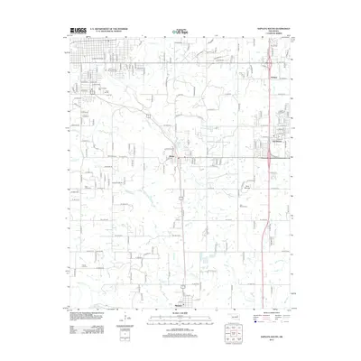 2013 Sapulpa South2013 Print · USGSCreek County at the start of the 2010s shows a landscape of growing towns and preserved ancestral sites. Researchers can trace local history through the Chief Sapulpa Burying Ground and numerous cemeteries like Saint Johns Cem or Twin Mounds Cem.
 - 2016 Map of Kellyville, 2016 Print
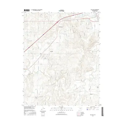 2016 Kellyville2016 Print · USGSCreek County at the start of the twenty-first century reveals a landscape of rural townships and family-run ranch lands. Genealogists can trace local heritage through numerous burial sites like Pickett Cem, Felix Cem, and the Willie Tiger Cem.
Showing maps 1-25 of 36
Top cities near Sapulpa
- Tulsa historical maps
- Bixby historical maps
- Sand Springs historical maps
- Jenks historical maps
- Glenpool historical maps
- Kiefer historical maps
See more
Top neighborhoods of Sapulpa
Frequently asked questions
- What are the different types of historical maps available for Sapulpa?
- What is the oldest map of Sapulpa?
- Where can I purchase historical maps of Sapulpa for my home or office?
- Where can I download high-res historical maps of Sapulpa?
- Are there historical topographic maps available for Sapulpa?
- Is there historical aerial imagery available for Sapulpa?
- Where are historical maps of Sapulpa sourced from?