Old Maps of Aledo, Oklahoma
Explore 11 old maps of Aledo, spanning from 1955 to today. These high-resolution historic maps reveal how streets, neighborhoods, landmarks, and natural features evolved over time — perfect for genealogy, metal detecting, research, and local history exploration.
What you can do with these maps:
- See how Aledo changed over time: Compare historical maps to modern-day views to trace roads, homesites, rail lines & more.
- View detailed metadata: Each map includes creators, publishers, year, scale, and archive source.
- Overlay maps with satellite & LiDAR: Visualize the past alongside modern tools to explore terrain & human change.
- Trusted historical sources: Maps sourced from the USGS, Library of Congress, and other archives.
- Access maps your way: View online, download high-res files, or order prints for personal or research use.
Start exploring old maps of Aledo to uncover forgotten places, hidden landmarks, and the deep history beneath your feet.
Aledo, OK maps
(11)- 1955 Map of Clinton, 1964 Print
 1955 Clinton1964 Print · USGSWestern Oklahoma during the mid-century transition shows a landscape of growing reservoirs and active military flight lines. Genealogists and historians can locate rural landmarks such as Mountain View Church, Berlin School, and the Riverside Indian School Reserve.3 unique versions available
 - 1957 Map of Clinton
 1957 Clinton1957 Print · USGSWestern Oklahoma in the mid-fifties is captured here as a landscape of river-valley settlements and emerging energy fields. Genealogists can trace family roots through numerous rural landmarks like the Swapping Back Indian School, Hebron Church, and the Riverside Indian School Reserve.
 - 1962 Map of Aledo, 1964 Print
 1962 Aledo1964 Print · USGSDewey County in the early sixties shows a landscape of braided riverbeds and prairie settlements centered on the Canadian River. Local historians can trace old community hubs like Webb and Aledo, or find rural landmarks like Prairie Bell Ch and Riverview Cem.
 - 1984 Map of Foss Reservoir
 1984 Foss Reservoir1984 Print · USGSWestern Oklahoma’s river valleys and prairie grasslands are captured here in the mid-eighties, a period of established reservoirs and active energy production. Researchers can trace rural lineages through local hubs like Cheyenne and Hammon or locate landmarks such as the Antelope Hills and Foss Reservoir.
 - 1985 Map of Aledo
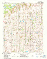 1985 Aledo1985 Print · USGSWestern Oklahoma’s rolling plains were captured in the mid-1980s at a time of active energy exploration along the Canadian River. Genealogists and local historians can trace legacy sites like Aledo, Burmah, and the Prairie Bell Ch in this detailed rural survey.
 - 1990 Map of Foss Reservoir, 1991 Print
 1990 Foss Reservoir1991 Print · USGSWestern Oklahoma’s prairie and river systems are shown here as they appeared in the 1990s, dominated by conservation lands and water management. Researchers can trace the rail paths of the Atchison Topeka and Santa Fe and locate old rural centers like Strong City and Hammon.
 - 2010 Map of Aledo, 2010 Print
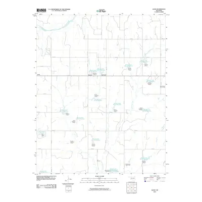 2010 Aledo2010 Print · USGSThis Dewey County landscape during the early 2000s showcases a rural community defined by the Canadian River and an intricate network of water management. Researchers can trace the local road grid to Aledo, Burmah, and the Elm Cemetery or study the extensive chain of numbered Barnitz Creek reservoirs.
 - 2012 Map of Aledo, 2012 Print
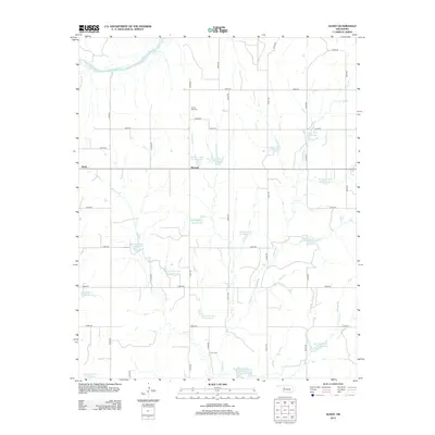 2012 Aledo2012 Print · USGSDewey County at the start of the 2010s reveals a rural landscape defined by the Canadian River and an intricate network of flood control reservoirs. Researchers can locate family landmarks like Prairie Bell Cem and the small settlements of Aledo and Burmah.
 - 2016 Map of Aledo, 2016 Print
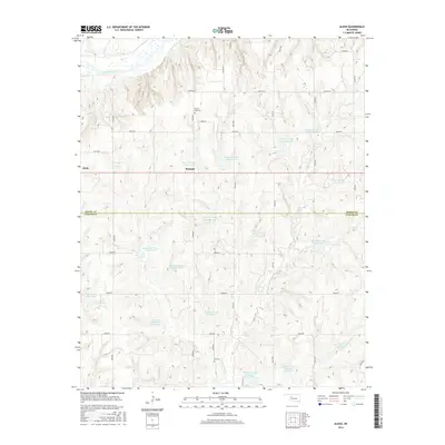 2016 Aledo2016 Print · USGSDewey and Custer counties appear here in the mid-2010s, showing a rural landscape defined by an intricate network of water management reservoirs. Researchers can locate family sites near Prairie Bell Cem and Elm Cem, or trace the settlement of Aledo and Burmah.
 - 2018 Map of Aledo, 2018 Print
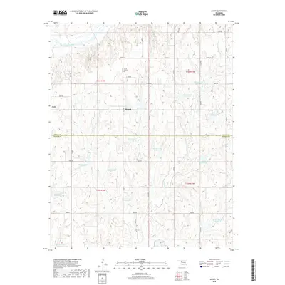 2018 Aledo2018 Print · USGSThe rural border of Dewey and Custer counties comes into focus in this late-decade study of Western Oklahoma's farm country. Genealogists and local historians can locate Prairie Bell Cem, Elm Cem, and early settlements like Aledo and Burmah.
 - 2022 Map of Aledo, 2022 Print
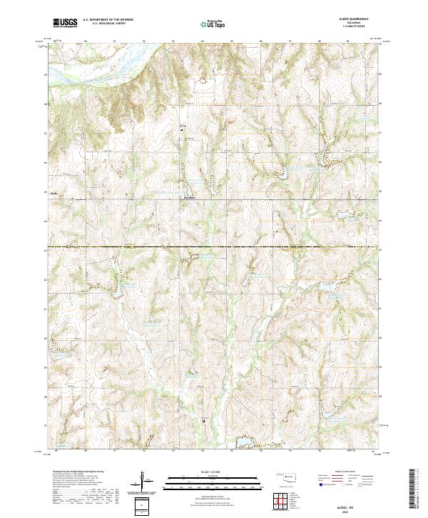 2022 Aledo2022 Print · USGSThe Dewey and Custer County line as it appeared in the early 2020s shows a landscape of agricultural reservoirs and rural crossroads. Local historians can trace the sites of Aledo, Burmah, and family burial grounds like Prairie Bell Cem.
End of results
Showing maps 1-11 of 11
Top cities near Aledo
- Taloga historical maps
- Butler historical maps
- Leedey historical maps
- Camargo historical maps
- Putnam historical maps
Frequently asked questions
- What are the different types of historical maps available for Aledo?
- What is the oldest map of Aledo?
- Where can I purchase historical maps of Aledo for my home or office?
- Where can I download high-res historical maps of Aledo?
- Are there historical topographic maps available for Aledo?
- Is there historical aerial imagery available for Aledo?
- Where are historical maps of Aledo sourced from?