Old Maps of Putnam, Oklahoma for Genealogy
Trace your family roots with 10 historic maps of Putnam. These high-res maps reveal old neighborhoods, homesites, landmarks, and streets — helping you uncover where your ancestors lived and how the area evolved over time.
- Explore historic neighborhoods: Identify where your relatives may have lived in the 1800s or 1900s.
- Compare maps over time: Trace the changes in streets, buildings, and landmarks for multi-generational research.
- Perfect for genealogy & ancestry research: Used by family historians and researchers to map out lineage and migration.
These maps are an incredible resource for exploring your personal connection to Putnam's past.
Putnam, OK maps
(10)- 1955 Map of Clinton, 1964 Print
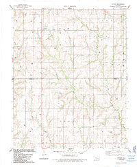
 1955 Clinton1964 Print · USGSWestern Oklahoma during the mid-century transition shows a landscape of growing reservoirs and active military flight lines. Genealogists and historians can locate rural landmarks such as Mountain View Church, Berlin School, and the Riverside Indian School Reserve.3 unique versions available
 - 1957 Map of Clinton
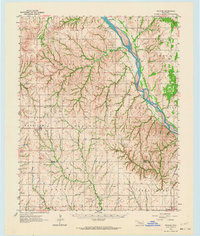
 1957 Clinton1957 Print · USGSWestern Oklahoma in the mid-fifties is captured here as a landscape of river-valley settlements and emerging energy fields. Genealogists can trace family roots through numerous rural landmarks like the Swapping Back Indian School, Hebron Church, and the Riverside Indian School Reserve.
 - 1962 Map of Putnam, 1964 Print
 1962 Putnam1964 Print · USGSWestern Oklahoma’s canyonlands and rural townships are captured here in the early sixties as the energy industry began to dot the plains. Researchers can locate many family burial sites and country congregations like Fairview Cem, Liberty Cem, and Independence Ch.2 unique versions available
 - 1985 Map of Watonga
 1985 Watonga1985 Print · USGSCentral Oklahoma in the mid-eighties shows a robust network of river-valley settlements and rural rail lines. Genealogists and historians can trace the footprint of Southwestern State College, the historic Fort Reno, and family-named landmarks like Dead Women Crossing.2 unique versions available
 - 1985 Map of Putnam
 1985 Putnam1985 Print · USGSIn the mid-1980s, the borderlands of Dewey and Custer Counties were a hub of energy production and rural agriculture. Genealogists can locate family sites near Putnam or trace records at Merck Cem, Liberty Cem, and the Independence Ch church.
 - 2010 Map of Putnam, 2010 Print
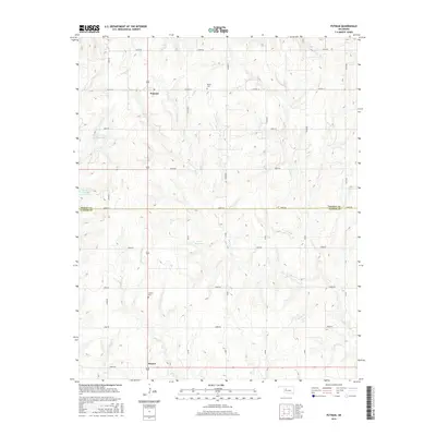
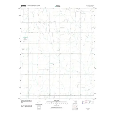 2010 Putnam2010 Print · USGSCovers Putnam, including Sunset, Custer County, and other nearby areas
 - 2013 Map of Putnam, 2013 Print
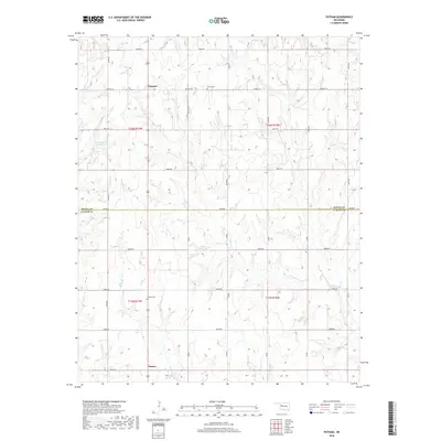
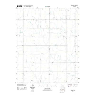 2013 Putnam2013 Print · USGSCovers Putnam, including Sunset, Custer County, and other nearby areas
 - 2016 Map of Putnam, 2016 Print
 2016 Putnam2016 Print · USGSCovers Putnam, including Sunset, Custer County, and other nearby areas
 - 2018 Map of Putnam, 2018 Print
 2018 Putnam2018 Print · USGSCovers Putnam, including Sunset, Custer County, and other nearby areas
 - 2022 Map of Putnam, 2022 Print
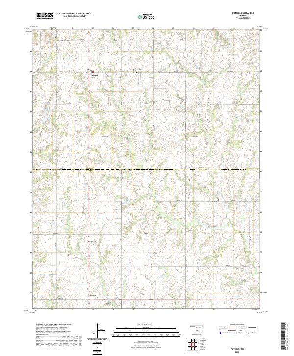 2022 Putnam2022 Print · USGSThe Dewey and Custer County line highlights this Oklahoma landscape in 2022, where section roads meet winding creek beds. Genealogists can locate Merck Cem and Liberty Cem near the settlements of Putnam and Sunset.
End of results
Showing maps 1-10 of 10
Top cities near Putnam
Frequently asked questions
- What are the different types of historical maps available for Putnam?
- What is the oldest map of Putnam?
- Where can I purchase historical maps of Putnam for my home or office?
- Where can I download high-res historical maps of Putnam?
- Are there historical topographic maps available for Putnam?
- Is there historical aerial imagery available for Putnam?
- Where are historical maps of Putnam sourced from?