Old Maps of Arnett, Oklahoma for Metal Detecting
Plan your next treasure hunt with 9 historic maps of Arnett. Find old homesites, ghost towns, trails, and gathering spots that may be lost to time — perfect for identifying promising metal detecting locations.
- Locate forgotten sites: Uncover places like long-lost settlements, abandoned rail lines, or gathering spots.
- Plan better hunts: Use map overlays combined with LiDAR or satellite views to narrow in on historically rich areas.
- Made for detectorists: Thousands of hobbyists use these maps to discover relics, coins, and hidden history.
Use these historic maps to boost your research and find new opportunities beneath the surface of Arnett.
Arnett, OK maps
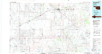
(9)- 1955 Map of Woodward, 1967 Print
 1955 Woodward1967 Print · USGSNorthwest Oklahoma and the bordering plains are captured during the mid-sixties, showing a landscape defined by river valleys and massive water projects. Researchers can trace family roots in towns like Woodward and Alva or locate landmarks such as the Western Oklahoma State Hospital and Kegelman AF.3 unique versions available
 - 1958 Map of Woodward
 1958 Woodward1958 Print · USGSNorthwest Oklahoma and the neighboring panhandle borders are shown here during a period of steady mid-century growth. Researchers can trace the rail networks of the Atchison Topeka and Santa Fe and locate landmarks like the Western Oklahoma State Hospital and Port Supply Reservoir.2 unique versions available
 - 1970 Map of Arnett, 1972 Print
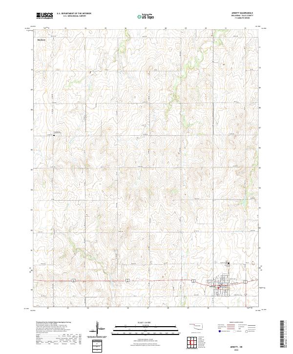
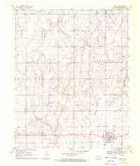 1970 Arnett1972 Print · USGSWestern Oklahoma’s high plains are documented here in the early seventies, centered on the county seat of Arnett. Genealogists and historians can trace the Old Indian Treaty Boundary and locate family sites at Debolt Cem or the Seventh-Day Adventist Cem.
 - 1985 Map of Woodward
 1985 Woodward1985 Print · USGSNorthwest Oklahoma during the mid-eighties shows a landscape defined by cattle country, energy production, and historic rail towns. Researchers can trace the Old Indian Treaty Boundary and find local landmarks like Crystal Beach Lake and Boiling Springs State Park.2 unique versions available
 - 2010 Map of Arnett, 2010 Print
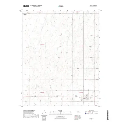
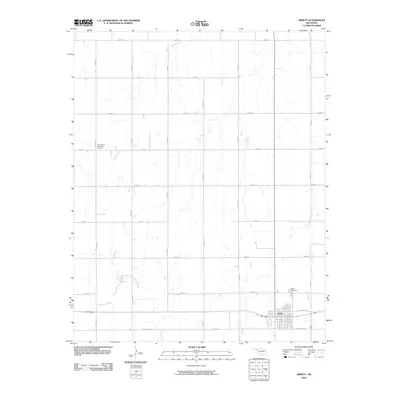 2010 Arnett2010 Print · USGSCovers Arnett, including Ellis County, United States, and other nearby areas
 - 2012 Map of Arnett, 2012 Print
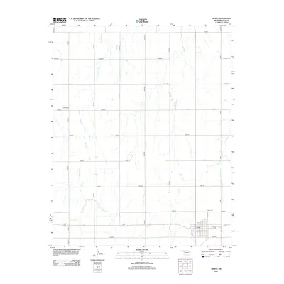 2012 Arnett2012 Print · USGSCovers Arnett, including Ellis County, United States, and other nearby areas
 - 2016 Map of Arnett, 2016 Print
 2016 Arnett2016 Print · USGSCovers Arnett, including Ellis County, United States, and other nearby areas
 - 2018 Map of Arnett, 2018 Print
 2018 Arnett2018 Print · USGSCovers Arnett, including Ellis County, United States, and other nearby areas
 - 2022 Map of Arnett, 2022 Print
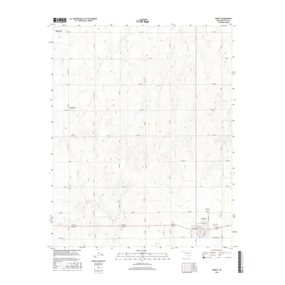
 2022 Arnett2022 Print · USGSThe county seat of Arnett is captured in modern detail alongside the rolling plains of Ellis County. Genealogists can locate the Debolt Cem and Ellis County Courthouse, while tracing the paths of Little Wolf Cr and Willow Cr.
End of results
Showing maps 1-9 of 9
Top cities near Arnett
Frequently asked questions
- What are the different types of historical maps available for Arnett?
- What is the oldest map of Arnett?
- Where can I purchase historical maps of Arnett for my home or office?
- Where can I download high-res historical maps of Arnett?
- Are there historical topographic maps available for Arnett?
- Is there historical aerial imagery available for Arnett?
- Where are historical maps of Arnett sourced from?