Old Maps of Hayward, Oklahoma
Explore 10 old maps of Hayward, spanning from 1955 to today. These high-resolution historic maps reveal how streets, neighborhoods, landmarks, and natural features evolved over time — perfect for genealogy, metal detecting, research, and local history exploration.
What you can do with these maps:
- See how Hayward changed over time: Compare historical maps to modern-day views to trace roads, homesites, rail lines & more.
- View detailed metadata: Each map includes creators, publishers, year, scale, and archive source.
- Overlay maps with satellite & LiDAR: Visualize the past alongside modern tools to explore terrain & human change.
- Trusted historical sources: Maps sourced from the USGS, Library of Congress, and other archives.
- Access maps your way: View online, download high-res files, or order prints for personal or research use.
Start exploring old maps of Hayward to uncover forgotten places, hidden landmarks, and the deep history beneath your feet.
Hayward, OK maps
(10)- 1955 Map of Enid, 1966 Print
 1955 Enid1966 Print · USGSNorth-central Oklahoma's transition from open plains to the blackjack hills of the Osage Indian Reservation is captured in the mid-1950s. Researchers can trace the development of the Naval Reserve Oil Field, the grounds of Vance AFB, and the early footprints of Tulsa and Stillwater.4 unique versions available
 - 1956 Map of Garber, 1957 Print
 1956 Garber1957 Print · USGSGarfield County in the mid-fifties is a landscape of oil production and railway junctions. Researchers can trace the heritage of rural communities through sites like Sunny Bower Sch, Our Ch, and the old rail siding at Cropper.2 unique versions available
 - 1958 Map of Enid
 1958 Enid1958 Print · USGSNorthern Oklahoma is mapped here in the late fifties, showcasing a dense network of petroleum production and historic tribal lands. Researchers can trace the legacy of the Osage Indian Reservation, early energy hubs like the Cushing Oil Field, and the Chilocco Indian Agricultural School.2 unique versions available
 - 1982 Map of Covington, 1983 Print
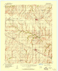
 1982 Covington1983 Print · USGSCovington and the surrounding Oklahoma prairie are captured in the early eighties as the regional oil industry and railroad networks matured. Genealogists and researchers can locate St John Cem, the rail siding at Callahan, and the community of Hayward.
 - 1990 Map of Enid
 1990 Enid1990 Print · USGSNorth-central Oklahoma's aviation and energy hubs are captured in the 1990s, from the streets of Stillwater to the runways of Vance Air Force Base. Researchers can locate active Oil and Gas Fields and trace local waterways like Skeleton Creek and Black Bear Creek.
 - 2009 Map of Covington, 2009 Print
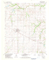
 2009 Covington2009 Print · USGSCovers Hayward, including Covington, Callahan, and other nearby areas
 - 2012 Map of Covington, 2012 Print
 2012 Covington2012 Print · USGSCovers Hayward, including Covington, Callahan, and other nearby areas
 - 2016 Map of Covington, 2016 Print
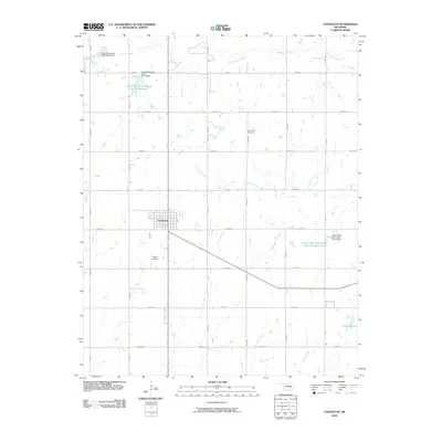
 2016 Covington2016 Print · USGSCovers Hayward, including Covington, Callahan, and other nearby areas
 - 2018 Map of Covington, 2018 Print
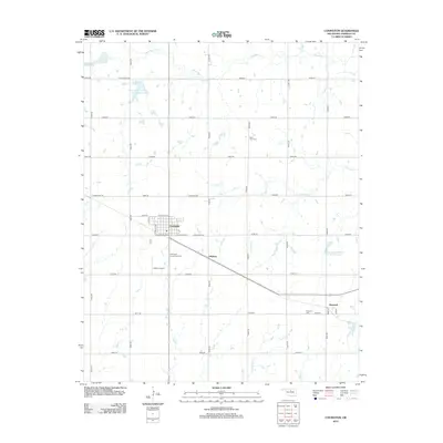
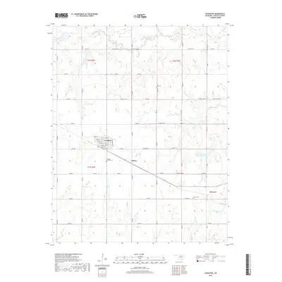 2018 Covington2018 Print · USGSCovers Hayward, including Covington, Callahan, and other nearby areas
 - 2022 Map of Covington, 2022 Print
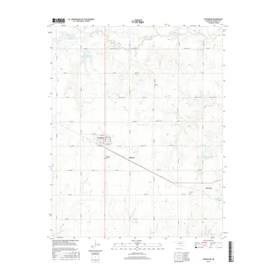
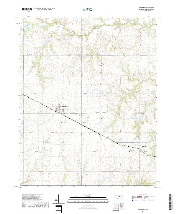 2022 Covington2022 Print · USGSCovington and the Garfield County countryside are shown here in the early twenty-first century, a landscape of section-line roads and creek-fed reservoirs. Genealogists can locate family sites near Saint John Cem, Hayward Cem, and the quiet crossroads at Hayward.
End of results
Showing maps 1-10 of 10
Top cities near Hayward
- Perry historical maps
- Garber historical maps
- Covington historical maps
- Marshall historical maps
- Fairmont historical maps
- Douglas historical maps
Frequently asked questions
- What are the different types of historical maps available for Hayward?
- What is the oldest map of Hayward?
- Where can I purchase historical maps of Hayward for my home or office?
- Where can I download high-res historical maps of Hayward?
- Are there historical topographic maps available for Hayward?
- Is there historical aerial imagery available for Hayward?
- Where are historical maps of Hayward sourced from?